ORH_wxman
-
Posts
93,099 -
Joined
-
Last visited
Content Type
Profiles
Blogs
Forums
American Weather
Media Demo
Store
Gallery
Everything posted by ORH_wxman
-
December 2024 - Best look to an early December pattern in many a year!
ORH_wxman replied to FXWX's topic in New England
We kind of have a perpetual high nosing down in the low levels despite parakeets at 500mb. -
Yeah…I’ll add that I do think seeing 06z slightly regress is a bad sign. A lot of times if you get a hard trend inside 3 days, it will just continue for like 4-6 consecutive cycles.
-
00z def improved from 18z but 06z did not improve from 00z and May have slightly regressed. Prob puts a cap on this things. We’ll see if 12z makes another bump back NW now that we are sampling most of the shortwave. If it doesn’t, that’s prob all she wrote.
-
Yeah this is really darned close for E MA to a major storm. Need another tick for it to happen but at least it doesn’t require a miracle now. That shortwave is starting to look like something signficiant…that cyclonic curvature like Tip mentioned is notable.
-
RGEM looks more amped at 57h so far on 00z.
-
Yeah it’s meaningless if it’s only the NAM making this trend at 00z. I think that’s a given any time we view the NAM. Might give it a little more weight if the event was inside 36h.
-
Jesus that’s so close to a really big hit in E MA
-
I’d like to get things about 5-7 days closer, but there’s some signs we could get a nice looking El Niño-Esque pattern in early January. Big western ridge pumped up by a retrograding Aleutian low. It would be a nice break to load the dice in our favor going into the coldest climo of the year. I want to get the pattern closer though before getting gung ho on the idea.
-
I was actually thinking yesterday about how if this was going to make a move, it would prob be the 72-84h mark because that’s when the shortwave is coming onshore. Should be mostly Onshore 12z tomorrow but we’re already getting the front end of it tonight. If we get a reversion back SE tonight, then that’s a very good indicator given the better sampling…and just the fact we’re closer and the solution got worse. Both of us know from statistics and just years of experience how trends that happen closer to the event are more likely to be real.
-
This is the best bump we’ve seen since this thing went east days ago so if we get another at 00z then I’d watch very closely in SE MA. Obviously a big if though.
-
If we get another bump NW at 00z, I’d watch for real in SE MA. They only need like 50-60 miles now on some of these solutions to get into the NW side of CCB.
-
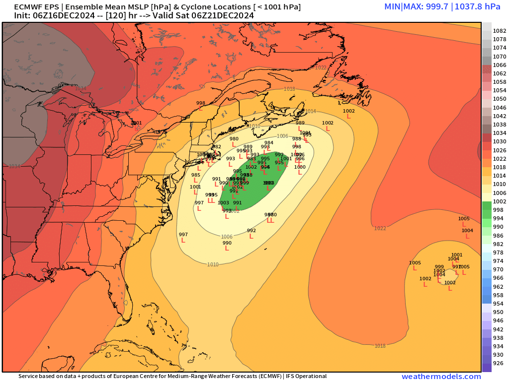
18z euro trying to scrape the Cape now.
-
December 2024 - Best look to an early December pattern in many a year!
ORH_wxman replied to FXWX's topic in New England
I wouldn’t rule out a light event on Dec 25-26 yet. Both the euro and GFS show it. -
Hopefully Ray has an update on his blog soon.
-
The main trough trending better isn’t enough on this threat unless it’s very strong changes…it needs to overcome the southern stream destructive interference happening. That will take the type of trend you don’t typically see inside of 100 hours. We’d need a pretty substantial positive trend at 12z for me to entertain more than 1-2”.
-
Hey, 18z had a pattern flip at day 15.
-
It could easily just be a few flurries. We’ve had plenty of model runs that show almost nothing. It could end up as a 1-3/2-4 deal too but there’s no reason to dismiss flurries or nothing. The PAC pattern could easily support a larger event. We had pretty meridional flow. But we ended up with wave spacing issues in the southern stream. That’s something you can’t see in the longer range. Individual shortwaves are hard to predict.
-
Yep…sandwiched in no man’s land for Friday. Big squander of a decent longwave pattern if we whiff but that’s the game sometimes. Hopefully we still pull off a few inches but I’m getting skeptical. The EPS mean is 1-2 inches across a chunk of SNE. I noticed maybe 25% of the members or so had 3”+ for at least part of SNE…so can’t rule out a lighter event but this longwave pattern had potential for something much larger so it’s disappointing either way.
-
Miller As have always been more precarious in New England. Sometimes they’re great and other times they are awful. Miller Bs are more common in general just because they come from northern stream redevelopers and the northern stream is far more active than the southern stream most years.
-
Mar '01 was more of a Miller B. Sort of hybrid system maybe. There were some decent Miller As in the 2010s too. They didn't always hit us though....Feb 5-6, 2010. Dec 26, 2010. Jan 26-27, 2011, Feb 13-14, 2014, Jan 22-23, 2016, Jan 4, 2018.
-
Euro looks worse than 06z....it really is a shame because it's a very solid shortwave diving SE toward the lower mid-atlantic, but there's just no ability to lift the heights downstream with the southern stream turd messing up the spacing. Without that, you're prob looking at a fairly healthy Miller B.
-
Every piece of guidance sans GFS is significantly better than 00z. Still needs more work though on most of these solutions. We haven’t been able to get a consistently positive trend for multiple cycles in a row though which is what this system needs. The euro also needs to come in better I think for me to really entertain this being still in play on the 00z guidance. When I say “in play”, I mean for something that’s at least 4”+….a C-2” deal isn’t what I’m discussing.
-
GFS was a terrible solution. GGEM is definitely a large improvement...prob advisory snowfall for interior on that.
-
It's the NAM, but interesting trend on the 12z run....everything further west with the main shortwave and that includes the TPV up north. If other guidance follows suit, that would help bring this thing much closer/further west.
-
Most of the ensembles are prob whiffs, but there is definitely a subset that are likely significant hits...you can see the spread still