

baltosquid
-
Posts
531 -
Joined
-
Last visited
Content Type
Profiles
Blogs
Forums
American Weather
Media Demo
Store
Gallery
Posts posted by baltosquid
-
-
Huge improvement to QPF and range of that QPF! Last minute trend in progress? Or just a characteristic NAM spasm?
-
Euro 3” for Baltimore would be great all things considered. Would refresh the snowpack to where it was just after the storm over the weekend and probably stick very easily given the chilled surfaces - probably even more of a transit issue than the MLK storm despite the lower totals. Also factor in timing. Lock it in!
-
 1
1
-
-
Just now, Paleocene said:
At this stage, can we pull out weenie handbook rule #725 and say "at this stage it's appropriate to rely on mesos rather than globals" and ignore global runs that don't paint the DC metro area blue?
I already have of course. But it DID work last time!
-
1
-
-
Same playbook as last time - watch those mesos and keep up hope they’ll lead the globals from here on. And watch returns upstream for how things verify leading in.
-
So, if one of the more knowledgeable people here is able to help out - this sounding here from NAM, in Baltimore during what appears to be best reflectivity:

Contrary to yesterday's storm, flakes should be healthier IF this was to pass? Feels like only thing keeping it from being an even bigger surprise was getting pixie dust most of the time. I am under the impression deflection of the dewpoint at a layer would be a dryslot, and it looks better here - or am I looking in the wrong place?
Also I'm sure soundings are far too early at this point for the NAM but trying to learn!
-
Surely the NAM will score another victory and give us more surprise WSWs!
-
 5
5
-
-
Is it reasonable to turn some of this into snow again? HRRR suggests the warm nose should shrink and it's already quite small...
-
Measured on various deck surfaces in Canton. I've got ~4.5", would not be surprised if someone with a proper setup and regular clears sniffs 5.
Also should mention some audible pingers in the last few minutes.-
3
-
-

This looks a frame from pre-storm for many!
-
3
-
-
walked as some brighter greens came over. Accumulating much faster, pavement no match. Hope we can snag one of the true death bands overnight. Betting the over on totals…-
10
-
-
-
Looks like some brighter greens popping up around DC, heading east. It's already picked up here but flakes are still smallish, few bigger ones mixed in. Hope that green brings some heavier stuff this way. Roads caved, plowed, caved again. Accumulations accelerating in Canton.
-
Still pretty light here in Canton despite the greens, maybe a tick heavier but still would consider it more grains than flakes. Hopefully bigger stuff imminent.
-
1
-
-
1 minute ago, gopper said:
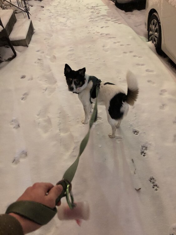
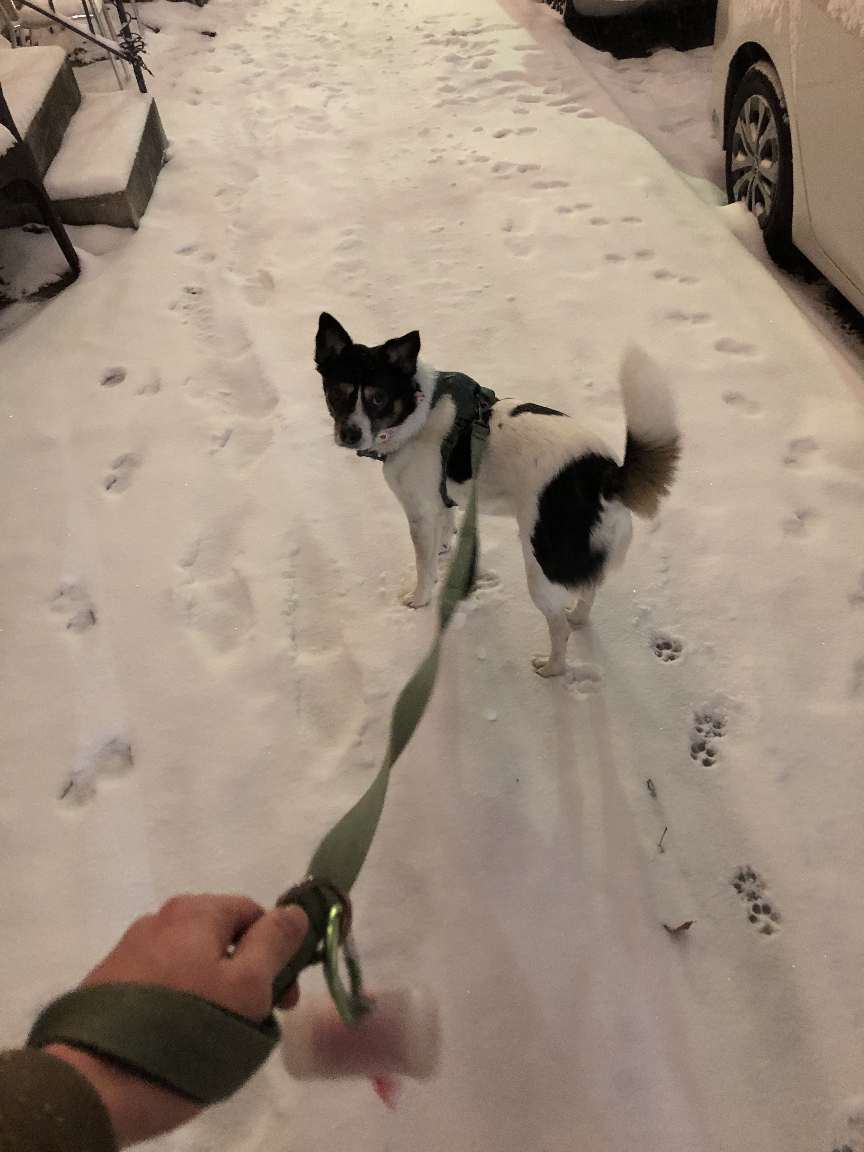
Patterson Park?
Yup! His favorite place
-
1
-
-
This was at about 1:30pm. Snow has been a consistent, light rate pretty much since then. Nothing super heavy and only the usual first-caving surfaces are covered, but real pretty. I haven't done measurements, probably still under an inch on the deck.

Using the HRRR 1hr frame and flipping back, seems like we're verifying colder each hour! Maybe this light consistent snow is helping bring things down. I'm optimistic roads and sidewalks will cave fast and with better temps for ratios and a surprise head start, I think we can surprise to the upside!-
10
-
-
If we can get good frontogenesis, we’ll really have made it pretty much all the way back to where we were before the temporary rug pull!
anyway, approaching DC. Accumulations about the same. Sub inch, snow has stopped. Roads clear so far.
-
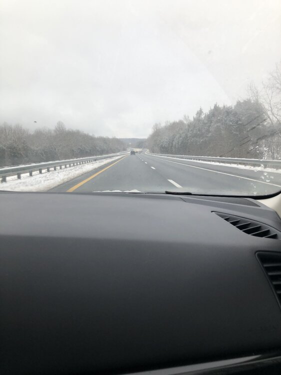
66 is alright in Virginia right now. Saw some plows near the on ramp in standby. Pretty!
-
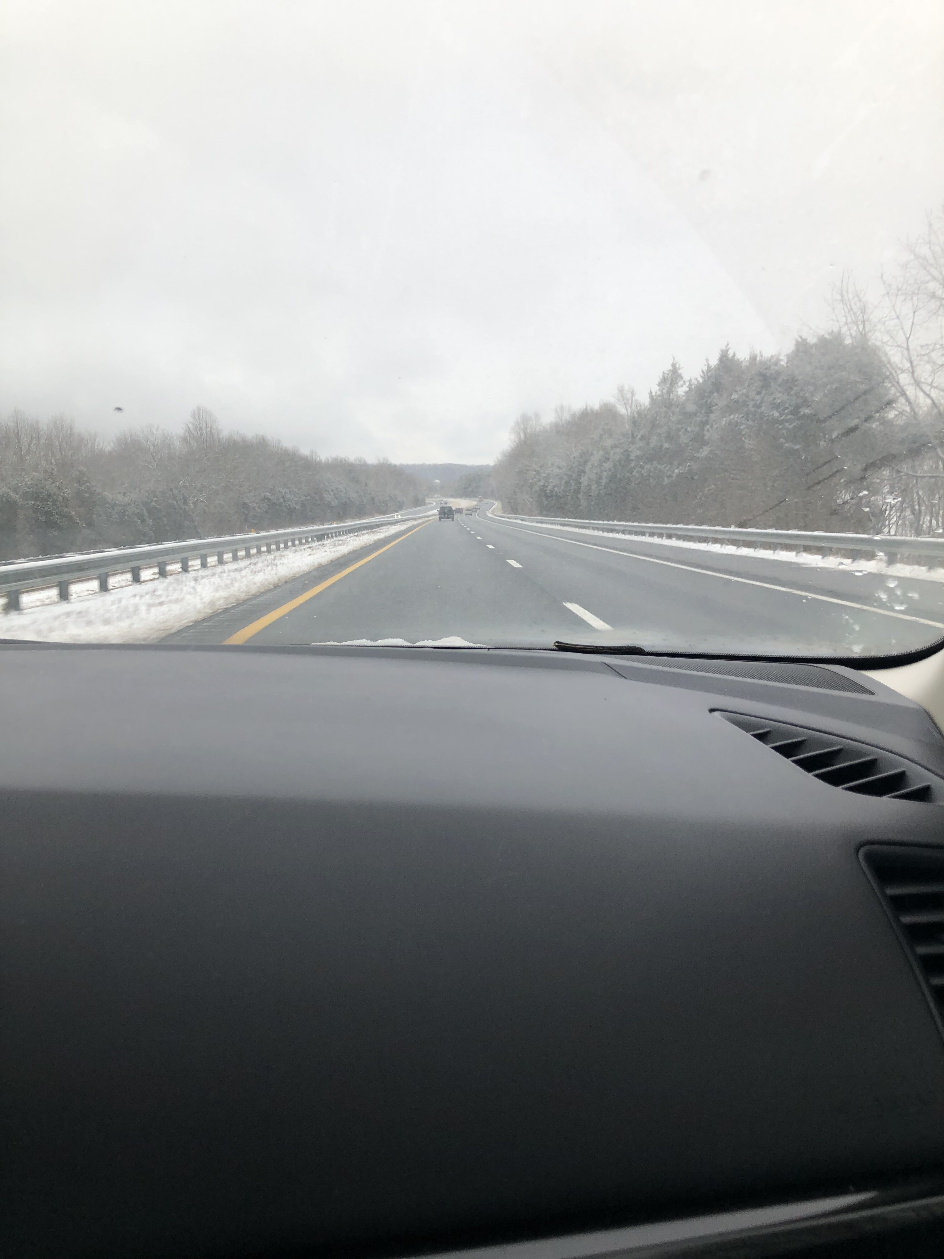
In Delaplane about to drive home from a weekend trip. Got a bit under an inch here it looks like. Very light snow falling since sunrise.
-
1
-
-
Have to take a moment to appreciate the hilarity - this is about the mean we were all given a couple days ago, yet we basically went through a complete meltdown between then and now just to have it come back because that’s the hobby we’ve chosen
-
3
-
-
Anecdotally I feel like there’s always a meso camp that bucks the trend for heaviest snow placement even through to the last day. Usually the trend buckers get embarrassed, but again, anecdotal.
-
GEFS gives us the one hundo percent chance for an inch. First time I’ve also seen the >4 inch 24 hr probability get into the greens (10-20%)
-
4
-
-
I wanna see the GFS purples get up to cover MD too. Looks like it knows where the state border is right now lol. Maybe we can get the backend to pop a bit for a parting gift or just keep improving the H5 look and get a stouter opening event before the spotty middle portion of the storm
-
2
-
-
FV3 meso has wide 1-3 with a 4 jack around Baltimore
-
3
-
-
I feel like if anything the NAM has just been oscillating w/ respect to that warmth, hard to call it a consistent strong trend. Hopefully just a blip

Jan 19th Snow on Snow: the this always works until it doesn't thread
in Mid Atlantic
Posted
3km paints a nice stripe through central and northern MD (kuchera)