

Ruin
-
Posts
918 -
Joined
-
Last visited
Content Type
Profiles
Blogs
Forums
American Weather
Media Demo
Store
Gallery
Posts posted by Ruin
-
-
Some of the models are pushing this L for next mon tues farther south then i could remember any L going in the winter.. All the way down to the heart of Mexico but only to push it almost as a apps runner the trends are slightly farther east now. But doesnt give us all snow in fact very little snow but a bunch of sleet and frz rain. normally when a L goes close to the gulf we get a major storm that rides up the whole coast from about GA to SC NC then up the coast. Has any one else seen a Low go that far south and not turn into a major storm snow wise? The Low itself doesnt get to strong down to 1003 or so.
-
41 minutes ago, dailylurker said:
CMC called that a week ago. I'm ready to end this dumpster fire anyway.
when you still hear online weather and local weather forecasters claiming the cold air is coming or artic blast incoming. even if it was coming 20s for my area is never considered artic highs in the teens or below would be artic not 20s
-
 1
1
-
 1
1
-
-
so much for the artic air
-
 1
1
-
 1
1
-
-
5 hours ago, Blizzard of 93 said:
My bar for this event for MDT is 3.5 inches to get the seasonal total to 30 inches. This would get them to be within 2 inches of exceeding the climo seasonal average. Everything after this weekend through March would just be stats padding to see how much we can pile on!
just outside Middletown when i came home around 230am at work I had 3 inchs on my car. when I got home a 20 min drive I had 3.5 and still snowed pretty good for 2 hours. I havent went out since I got home but safe to say we hit just over 4 inchs
-
the artice airmass just up and vanished on my forecast one day in the 20s the rest mid to upper 30s with 1 40 lol so much for that big cold air mass. at least we got some snow so far out of the pattern change.
-
1
-
-
Im really sick of this dark blue band over me for hours and nothing is falling in fact I see breaks in the clouds like wtf.
-
10 hours ago, daxx said:
Oh my...bitter cold is fun for a little, but boring unless you live near the Great Lakes. Give me an active pattern with cold nearby any day.
actually I love about of week of really cold why you may ask? It kills all the nasty bugs and we have less of them in the summer and overall I miss cold days as a grown up get under a blanket toasty with hot coco or some thicc soup like broc and cheddar or beef stew
-
1
-
-
now our artic airmass will only be here 2 days? highs in the low 20s for sundays snow but then shoot back up to the upper 30s to near 40 right after the storm? im getting tired of them since last year saying the artic air is coming and it never comes. I just want a week or so of a good cold push i dont want rain or ice out of no where cause its to warm.
-
so according to my local temp forecast we only now get 2 days of artic air? low 20s then it shoots all the way back to upper 30s to near 40?
-
Just now, psuhoffman said:
A couple days ago maybe
Last time I actually looked was thursday night? what time now more like 4am?
-
3 minutes ago, Jebman said:
Better look out around Feb 16 in the Mid Atlantic! That super frigid airmass will end interacting with a storm and will probably hurl back immense, immense amounts of snow!
This is going to be a FUN February for the entire Washington Metropolitan Region!
the whole artic airmass being pushed back for 3 days in a row is annoying. it reminds me of last year when they kept saying artic airmass polar vortex to hit east coast next week. It never even happened. I think after the second week of jan we didnt hit below 32 for a high all winter.
-
Is this moving slower then models were saying? I swear it was showing snow at the PA MD line around 1 am
-
I still want to know where the artic air went. its like last year they just keep pushing it back more and more.
-
So can any one tell me what happen to the artic air? I kept hearing to much artic air and it will suppress the storm etc. Yesterday my high's for next week were all in the low 20s and lows in the low teens. now its low 40s for highs and upper 20s for lows? Yet the storm on some models is suppressed south? Why did the artic air not end up showing up now for next week? even sunday now is 43 when before it was 33.
-
1
-
-
it was snowing off and on since i went to work at 2pm but nothing layed until about 8pm and started snowing heavier got another 1 1/2 at work id guess. same amount at my house from the looks of it when i got home. Another band may move in sometime tonight
-
looks like the precip backfilled a bit direction is north to south mostly since this started about a 1 plus ago I picked up another .75
-
-
getting some moderate snow again wow
-
3 minutes ago, Voyager said:
Unless I'm radar hallucinating, it almost looks like dry air is attacking the region on two fronts. One from the south and one from the northwest. The snow has lightened considerably here though uring the last hour, so maybe it's real. Future radar builds it back, so I guess we'll have to wait and see what happens.
I did hit the semi-magical 20 inch mark, however. Not sure if I'll get the 24 inch holy grail, though.
yeah dry air can be so strange for a storm why here and not over there kind of thing. yeah future radar builds it back but have been told future radar sucks pretty much. like earlier tonight it showed no dry slot or break in the precip at all till 1am.
-
Just now, TheDreamTraveler said:
Same thing here in Enola...we're right on the edge of the dry slot but it's still snowing at a pretty decent clip for the past few hours now
Ive only ever seen this happen twice in my life. radar is dry but snowing hard. if id have to guess precip is about 20 miles away from me on the west side 15 miles north and 40 miles east.
-
17 minutes ago, pasnownut said:
Back to mod snow here in Lanco. 0z NAMs say we have about 12-14 hrs left. This is a overachiever for mby. That low is just stalled and impressive to see on the models.
Duration coupled with a run at my top end of 14” is going to give this one a high ranking for me.its funny to think all these models saying it wont stop till like 10am tuesday. but then all my local weather guys saying 10pm 11pm tonight with lingering snow showers only maybe a inch tomorrow
-
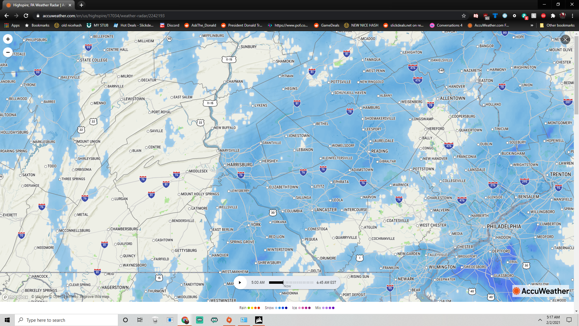
So radar shows nothing current conditions say cloudy but its snowing hard. I know some of you reported the radar has dry slotting but still snowing im guessing its snowing at a lower lvl then the radar beam is??? Also Im guessing they are just doing observations for what the radar says not from a spotter noticed that a lot lately.
-
so far 12.2 big flakes again snowing pretty good.
-
any chance we can go that shield to bounce back to harrisburg? that dry slot came out of no where.
Central PA - Winter 2020/2021 Part 2
in Upstate New York/Pennsylvania
Posted
the way things have gone the last few winters its probably right lol no matter how odd it may seem to us. sometimes the weather just licks to F us in the end wasted cold no artic air after all etc.