Weather Will
Members-
Posts
7,366 -
Joined
-
Last visited
Content Type
Profiles
Blogs
Forums
American Weather
Media Demo
Store
Gallery
Everything posted by Weather Will
-
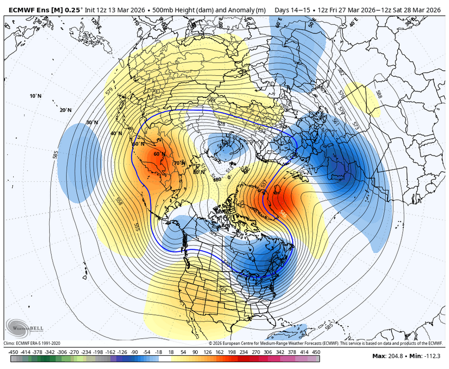
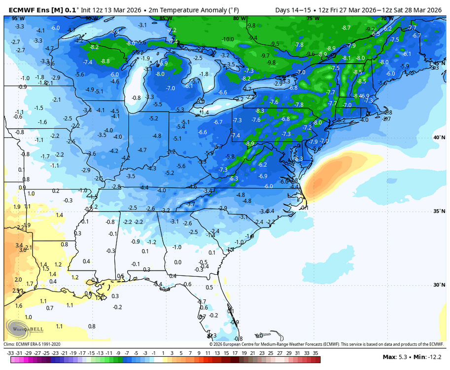
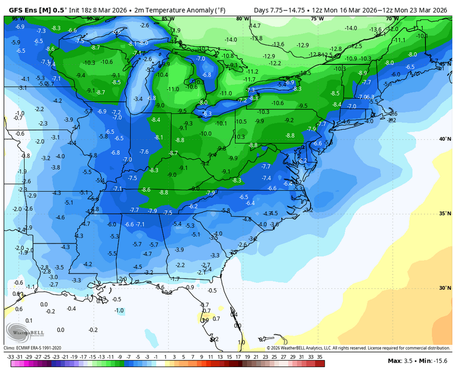
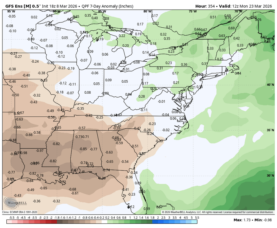
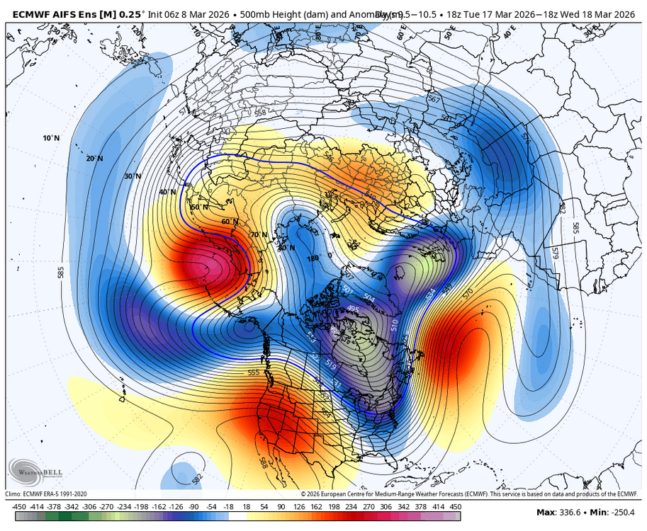
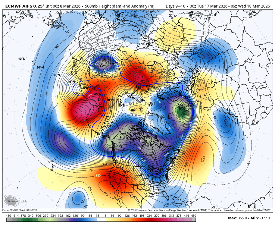
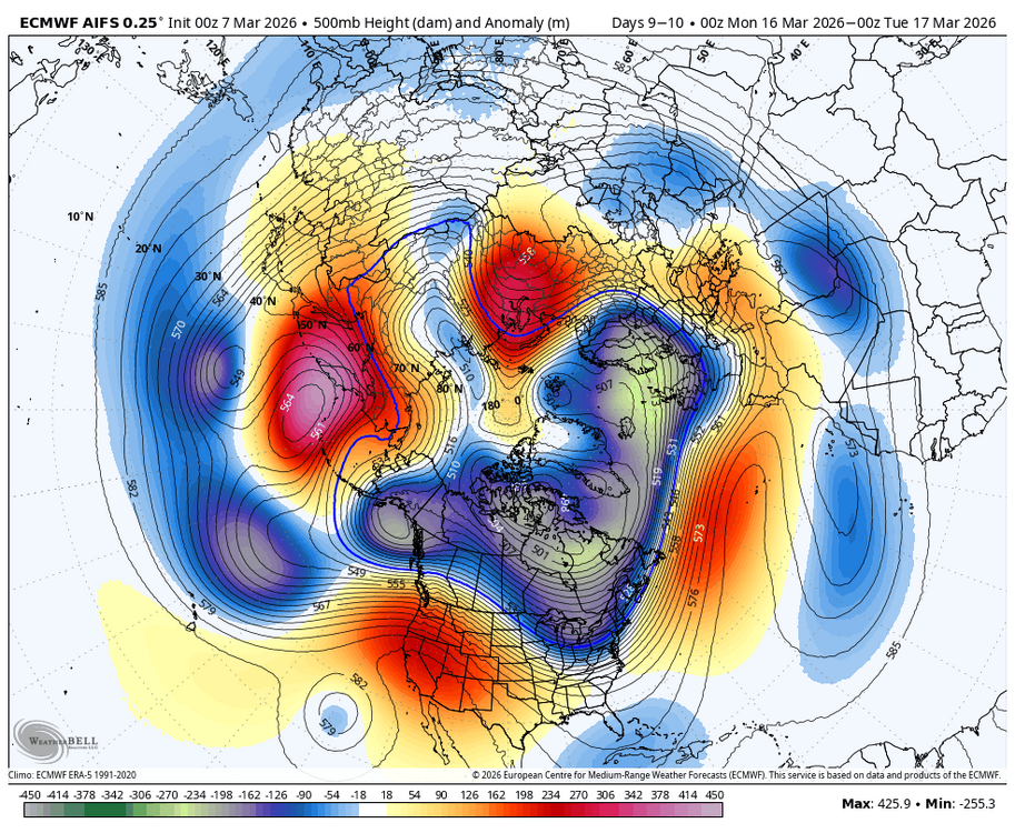
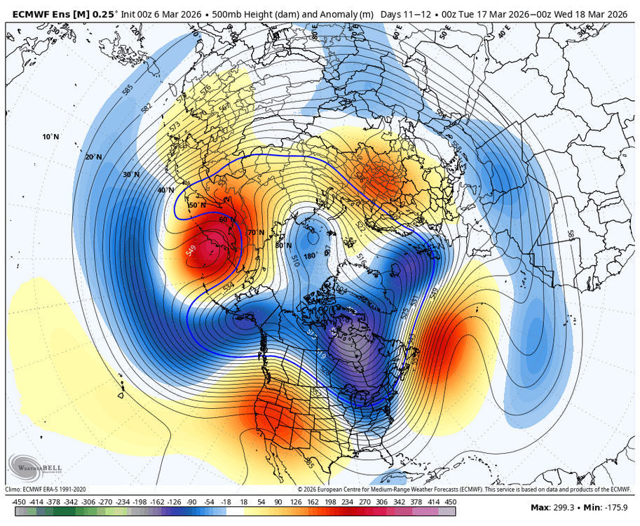
We should start another dead end thread.... in all seriousness, I would be excited for this period if it were not the end of March: teleconnections are decent with - WPO, + PNA, AO neutral, and - NAO; MJO progression 8-1-2; cold air to tap with anomalies 20 degrees plus below normal. It could all fall apart tomorrow but will be watching....
-
-
-
80 Degrees to Ripping Snow: March 12th
Weather Will replied to SnowenOutThere's topic in Mid Atlantic
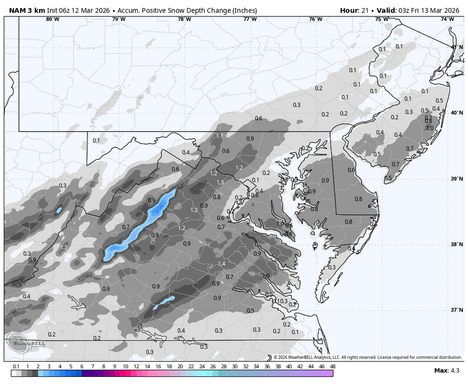
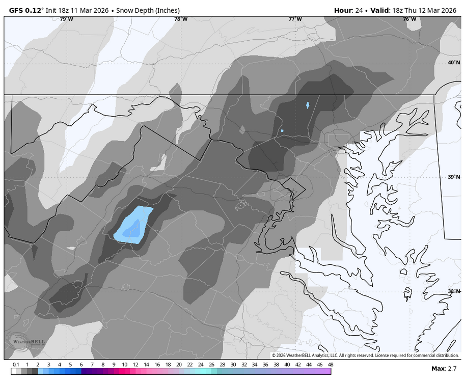
Just traveled home from Annapolis. Drove 32 to 70 west. Fantastic drive through whiteout conditions for about 30 minutes. Temps hovered around 34. Grass was covered. Cars had snow pounding horizontally. Wonderful experience. -
80 Degrees to Ripping Snow: March 12th
Weather Will replied to SnowenOutThere's topic in Mid Atlantic
-
Heavy, windy, rain shower. Little lightning.
-
80 Degrees to Ripping Snow: March 12th
Weather Will replied to SnowenOutThere's topic in Mid Atlantic
-
Rain shower. Heavy cloud cover, hopefully limits the threat of any severe weather later today.
-
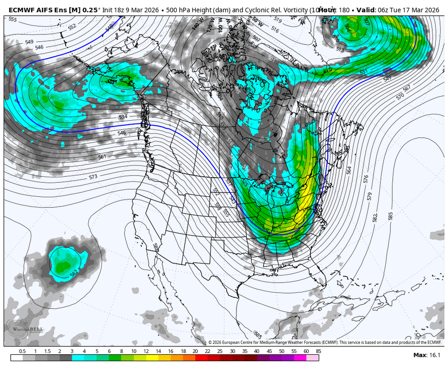
Trough early next week looks very progressive. Still many days away, but no model is spinning up a storm right now except for maybe northern U.S.
-
Lucy is warming up!
-
-
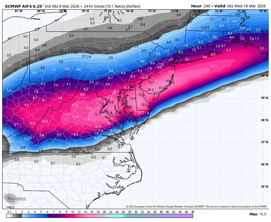
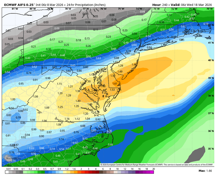
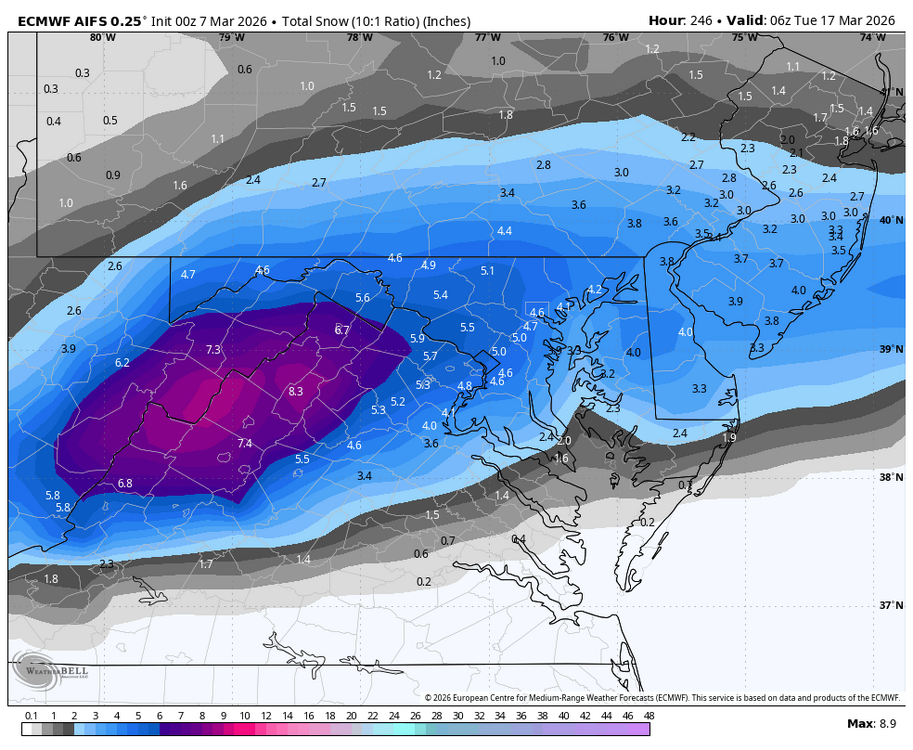
WB 18Z AI EURO does not have a flake for us.
-
CHUCK IS ON BOARD!!!!!!
-
I know...but it is really quiet in here so I thought I would wake everyone up.
-
On a very side note, had an amusing argument with my family. They made me remove the heat mats on our stone pavers off the front door. They said no way will it snow again....well I sacrificed for this stormy period.
-
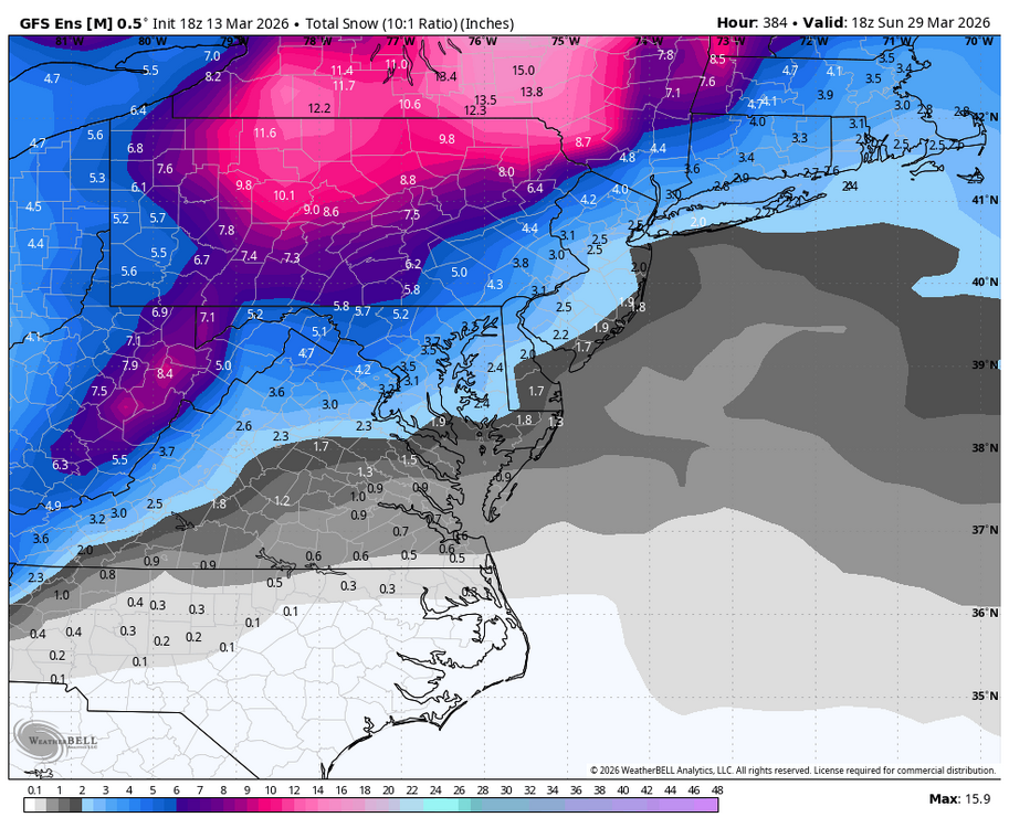
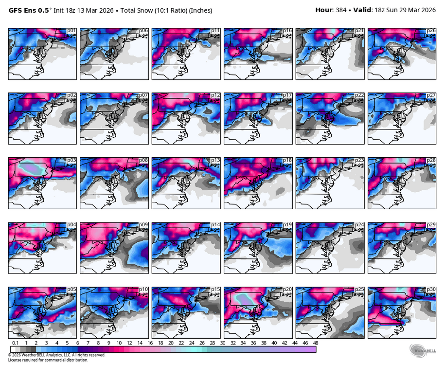
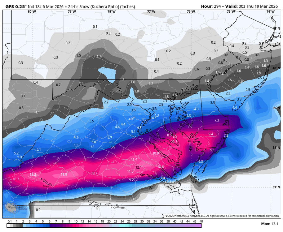
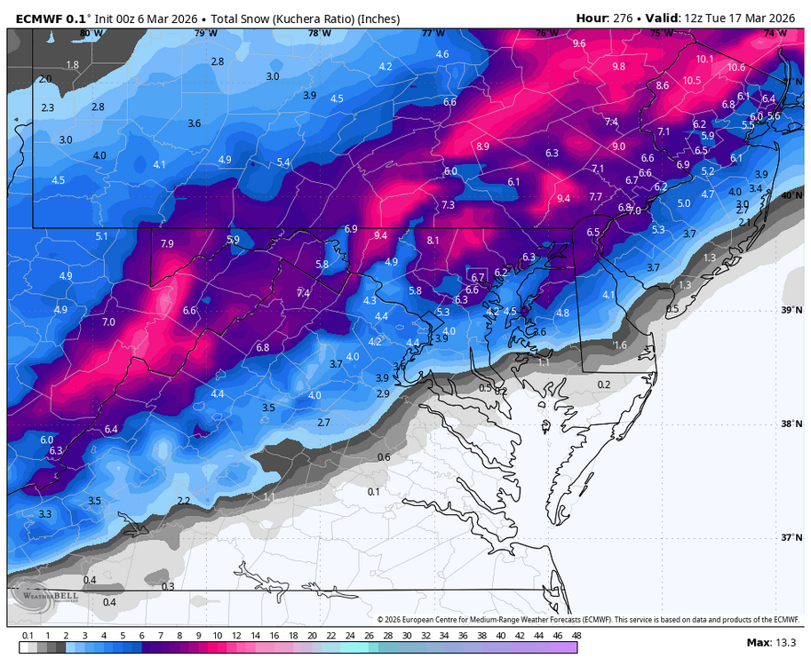
WB 18Z GFS between the 17th and the 24th delivers the goods below. I guess the run shows at least there is potential during this period. I guess everyone is not buying it because it is very quiet in here.... been a long time since the GFS produced this kind of epic run.
-
-
-
I don't want sleet/ice either. Bring 6 inches of snow or more or you can keep it.
-
-
-
Skies finally brightening...yippee. Still mid 50s.
-
-
-


