ChiTownSnow
-
Posts
814 -
Joined
-
Last visited
Content Type
Profiles
Blogs
Forums
American Weather
Media Demo
Store
Gallery
Everything posted by ChiTownSnow
-
Hopefully it covers up the mud at be least
-
Winter 2021-22 Short/Medium Range Discussion
ChiTownSnow replied to Chicago Storm's topic in Lakes/Ohio Valley
Nice to see cold weather is sticking around for a bit.. Thought I would share a few pics
-
One of these clipper like systems has to hit...right?
-
People that love what they do: LOT "Seeing a classic horizontal convective rolls signature on DVN`s radar with fingers of more robust snow showers interspersed among flurries. Can`t totally rule out a tenth or two of snow accumulation, but main impact from falling snow will be to further reduce visibilities as it is whipping around by the 30-40 mph winds. Scattered snow showers will probably taper more to intermittent flurries this afternoon with flurries possibly linger well into tonight as it is not uncommon for flurries to leak from stratocumulus decks within these type of cold air masses." - Izzi
-
Sure looks like winter out there this morning.
-
Because you cheated..right?
-
Winter 2021-22 Short/Medium Range Discussion
ChiTownSnow replied to Chicago Storm's topic in Lakes/Ohio Valley
The problem tho is where do you stop? does Brian D then have his own subform just because the geographical region? He'd be the only one contributing. To me it's about the number of posters in each region/sub,. Once the number of posters increase, then you can better argue a new sub forum -
Pretty transient air mass.. We may touch single digits here but I don't think for long
-
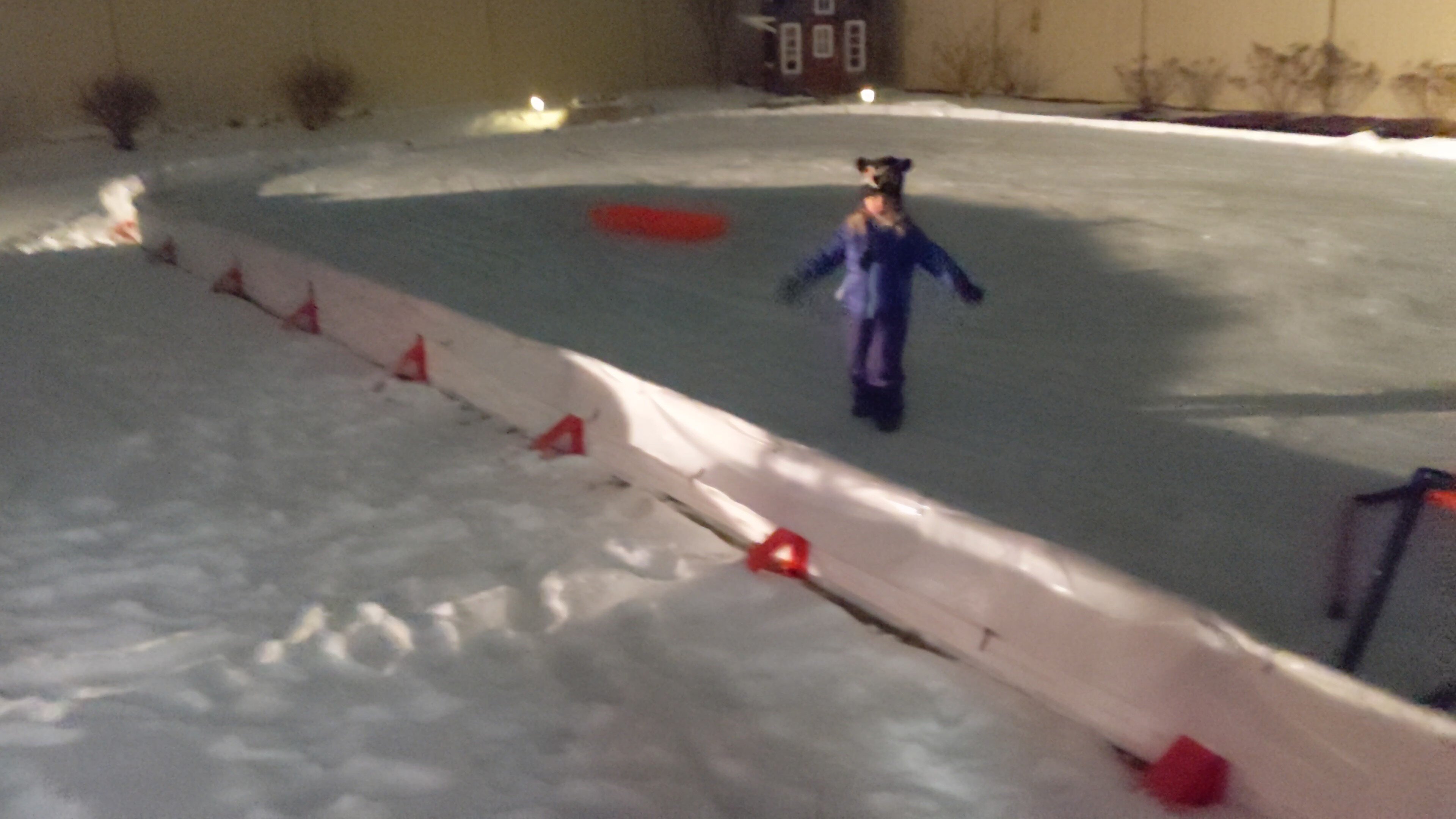
Bodes well for the backyard rink..kids have been patient this year
-
Looks like NC going to get hammered
-
Looks like Lake effect starting to take shape on radar
-
Switch the 4-6 to 2-6 in the western burbs
-
I don't see 6 happening but who knows. I do know that it's been snowing under the heaviest returns here for 3 hours or so and have just over 0.5. So it would take a lot to get to 6
-
Good snows right now..best so far
-
NE Wind kicking up noticably in the last 20 min or so
-
Need one of those meso lows to form out over the lake
-
So far it's been pretty efficient.
-
Only if it's for that new car if it snows 5 or more on new years day. Slant away
-
Possibly some lake enhancement starting to be evident on radar returns? around western cook and dupage
-
How dare he!
-
He's worked hard at that.
-
Would agree with the northern counties "Boon, McHenry" with adjustment down
-
Seems to be some banding setting up to my SE that hopefully will interact with the feed off the lake when it arrives. Also The orientation looks to be more West to East as opposed to SW to NE. So hopefully that helps with QPF
-
One problem I see with using the blended approach or average of all model approach as we closer to "nowcast" time, is that this method ignores the latest and greatest model guidence.. It's a good method when you're a day or two away but not a few hours.
-
Both NAM and GFS indicate the bleeding seems to have stopped at least. Maybe wishful thinking, but I have come this far so why not.