-
Posts
4,907 -
Joined
-
Last visited
Content Type
Profiles
Blogs
Forums
American Weather
Media Demo
Store
Gallery
Posts posted by midatlanticweather
-
-
Great day of .60" of rain here in Purcellville! Happy to have every drop of it!
-
OK - 91.8 for the high and some humidity to boot! The winds makes it feel a bit more tolerable, but wow it is down right hot!
How I hate the heat! And, wow we need rain! I mowed yesterday and have never sneezed so much in my life! The dust and pollen are ridiculous.
-
 3
3
-
-
I was mistaken that they had not made it to Purcellville. They can be heard clearly in the woods making themselves known. I am on old farm land with only a few splotches of trees. They are not in my backyard but close by
-
 1
1
-
-
Nothing much if anything in Purcellville. We were always riding the fence on whether they had really infested the area. I am going to say they have not. In Sterling the last go round it was insanity. If I see any it will likely be because they got caught up in the wind than actually invading the area.
-
 1
1
-
-
-
-
Looks like graupel falling pretty heavy briefly in Purcellville
-
Wow. 37 for a low is kind of impressive.
-
 1
1
-
-
Those little heavier showers have some broad rotation in them even! LOL!
-
 1
1
-
-
Just sprinkles out here in Purcellville today! So little that my rain gauge has not measured anything! I was in Leesburg earlier today and they seemed to have quite a bit more of rain, but this has not been a heavy rain producer in my area
-
41 degrees for a low! Chilly out there
-
How about that
https://forecast.weather.gov/wwamap/wwatxtget.php?cwa=hfo&wwa=winter storm watch
Hawaii winter storm watch
-
 1
1
-
-
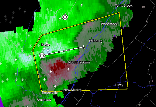
15 minutes ago, Eskimo Joe said:
That's a beefy little cell booking for Front Royal. Might even have a bit of spin.
Seems that way when looking at it closer!
-
Just now, psuhoffman said:
It does now. It was moving ENE all evening but seems to have taken a turn more due east lately.
@mappy was active on twitter about an hour ago. I think she was aware and keeping safe
-
 1
1
-
-
Things remain calm compared to earlier! Winds sustained 10 to 20mph and even lower at times. Not much happening.
-
Yikes
-
2 minutes ago, southmdwatcher said:
That second surge coming southeast from the Blue Ridge looks real as well.
I am in Purcellville, and right now, we are the least windy we have been in a long while.. Will let all know if the second line brings it all back.
-
6 minutes ago, Kmlwx said:
Wtf...did they just issue a severe thunderstorm warning?
That line of showers brought some of the best severe winds of the Spring! WOW!
-
That line of showers brings the gusts down! Had about 5 minutes of sustained winds bouncing up to 45 to 50mph but I had no way to measure the gusts! WOW! Watch out when the showers come through!
-
-
27.5 for my low this morning. Brisk feel out there!
-
Graupel pretty heavy up here in Fredrick Maryland, where I happen to be today.
-
That next warning Polygon is yuuuge
-


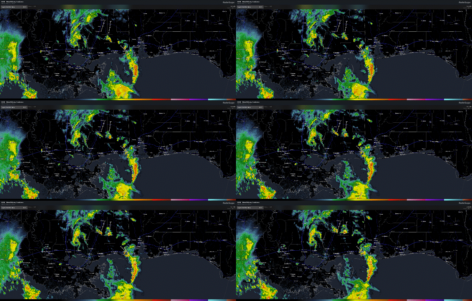

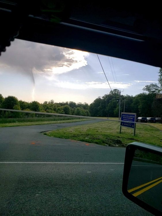

2021 Mid-Atlantic Severe Weather - General Discussion
in Mid Atlantic
Posted
Got our meso. Watch possible