

midatlanticweather
-
Posts
4,193 -
Joined
-
Last visited
Content Type
Profiles
Blogs
Forums
American Weather
Media Demo
Store
Gallery
Posts posted by midatlanticweather
-
-
Huge truth here!
-
Is that back building going on west of the WV Band, or am I hallucinating?
ETA: Ninja'd! Wow! Lets keep the fun rolling!
-
Fv3 18z came in with 2 to 4 inches this afternoon/evening.
-
Looks pretty good but wish there was more wiggle room.
-
24 minutes ago, Bob Chill said:
Lwx 8-12" call is going to verify in a lot of places.
I would have doubted this until the second round. I was around 5 in the Morning and lost some from melting and compaction. Over 7 inches on the ground now and it is starting up again!
-
 1
1
-
-
Picked up 2.5 new inches this afternoon!!!
-
Ripping fatties..
-
2
-
-
3 minutes ago, nj2va said:
GEFS was consistently snowier than EPS for today's storm which turned out correct. Weenie handbook says to trust it more for next weekend.
")
Until it flips then trust the other models...
-
Little over 5 here.. but about 5" is all I could feel confident about
-
Just now, Jebman said:
How would we describe them? The Wikipedians would probably try to delete it lol.
They must be immortalized!
-
Could we start a Wikipedia page for Jebwalks??? Snowing nicely
-
 1
1
-
-
Dude..already approaching 3 inches. Expected this by daybreak. If we get to 4 by midnight I will be believing 10 inches is within grasp.
-
6
-
-
2.5 inches now.
-
1
-
-
Heavy snow currently in purcellville! Awesome
-
Heading to half an inch quick. Careful out there. Was slipping all over the place on a quick store trip. Some intentional!
-
1
-
-
Was very light snow until about 30 mins ago.ground whitening, roads already caving with a steady light snow now. Fixed and readied the snow blower and just watching it fall. Jebwalk in the not too distant future. 30/27.
-
4 minutes ago, BristowWx said:
2-4 is nearly a lock for everyone. Any more is white icing on the snow cake and we won’t really know exactly how things will evolve. Almost now cast time.
We all want very thick icing! No skimping! Hopefully Euro delivers a reassuring 5"+ so we can see some more warnings!
-
Coastal gets going a bit further south so less love up this way. Gives RIC or just north reason to rejoice a bit.
-
2
-
-
3 minutes ago, TSG said:
When is the last time we had a similar positive trend so close to game time? I've only been "tracking" since ~2012/13 but this to me is a remarkable 180 from yesterday/last night.
We have seen this both be beneficial as well as painful.. it is not as uncommon as you would think! Even the December Storm had a shift north. It is always a possibility and many times if you are on the north fringe of the best precip, it ends up shifting in the last 24 hours.. especially these North to South gradient systems.
But yes.. usually they kill chances and we are all left deflated.
-
Just now, redskinsnut said:
How is it 10 degrees and dumping snow at epic rates at the same time that there are rain concerns?
What side of the front you end up on..southerly or northerly
-
Just now, PhineasC said:
If 18z jumps like 12z did, we will have watches across the area.
Maybe warnings
-
1 minute ago, DDweatherman said:
12z was clearly a step back from 6z's improvement. That's pretty clear to me, same goes for the ICON. It looks like what PSU is saying for us northern folk... more coastal steals moisture from WAA precip. Need the late game 40 mile north trend. Thought we'd continue the run after unanimous improvement at 6z, but alas the usual occurs the next cycle.
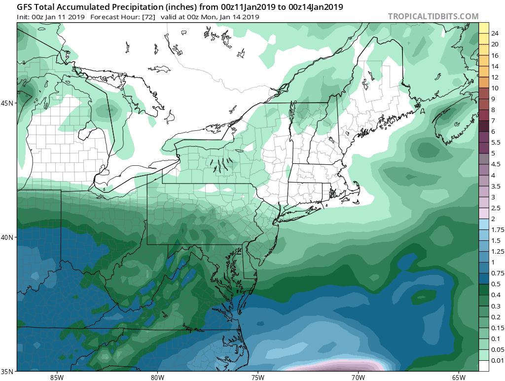
Thinking those calling for the large areas of 6 to 10 inches in the region are going to find these amounts are isolated and/or higher elevations. 2 to 4 seems prudent and the higher amounts will be 4 to 6 inches for the majority of people. We will see if the EURO holds serve, but I suspect it will.
-
Just now, jayyy said:
Except for the strong confluence in New England and a mainly west to east 500 mb setup
Yep! Exactly!
-
1
-
-
9 minutes ago, psuhoffman said:
That's what happened last December in that little wave...I got 5" of the lightest fluffiest snow imaginable and the local coop reported like .24 qpf and I would be totally good with that again.
I saw Kuchera ratio was pretty high out your way. Hoping for that as well! We all need a win - even if it is not the biggest event, we want to maximize on all we get.

January 12-13th Cold Smoke Obs and Nowcast
in Mid Atlantic
Posted
Final for me would be 8.4 on the ground. I am certain that would have been higher had there not been compaction and melting during the day.