

midatlanticweather
-
Posts
4,174 -
Joined
-
Last visited
Content Type
Profiles
Blogs
Forums
American Weather
Media Demo
Store
Gallery
Posts posted by midatlanticweather
-
-
Can totally see this ending up north. Seems typical
-
 1
1
-
 4
4
-
-
Thankful for the precip showing now. Just need to fix a few things so bigger things can happen
-
1
-
-
3 minutes ago, yoda said:
Hmmm... 00z Euro has a 1006mb SLP in extreme SW VA at 168...
Not a great look. Some positive changes though. High up north is not great
-
Just now, nj2va said:
Cue the Debs “you don’t want to see this 6 days out“
We know it is fragile and will shift around a lot! It will be a week of happiness and Lucy calls! So, ya! Typical. But we see the shifting already! Nothing is a sure thing.. but some kind of storm seems likely. We shall see! Enthusiastic for now!
-
1
-
-
32 minutes ago, psuhoffman said:
Not bothered by that. It takes an identical track and similar local evolution to Feb 5 2010. (Not expecting the same results Feb 2010 stalled for 12 hours) The precip wouldn’t likely be that shunted given its STJ origins. That’s a typical long range error. Why I get shown as fringed on these way more than it actually happens.
Ya.. PSU Fringed is a good sign to me. Let's worry if this is real or a mirage!
-
That model run was a bunch of crap! LOL! I think there is a lot of model confusion. I mean, it may be bad in the end, but it obviously has some work to do to figure out what is happening. I think this is a given from the board discussion, but nothing looks right! Ensembles may help
-
2 minutes ago, Shaulov4 said:
Guess I am not looking at the right stuff. Lol
-
 1
1
-
-
16 minutes ago, Ji said:
One of the worst gfs runs in an El Niño I’ve ever seen
Where did the parade of shortwaves go?
-
0z is kinda boring. Lol
-
1
-
-
Not buying it.. But it has a chance to get colder.... Or warmer. Lol. I would say it would be worth watching but the model consistency has been rough at the surface
-
I am confused by Pivotal's site in the range after Christmas - Looks interesting... pretty much wet.. just strange
-
56 minutes ago, WxUSAF said:
6z gfs has coastals in both those periods. Just skims @CAPE on the 2nd, then suppressed for RIC on the 6th.
I feel southern sliders are always a threat. Also, a too wrapped up system changing to rain. I will not be surprised by misses to the south even though I hate them the most. Still way off, but I even think some of the long range seasonal models were not as bullish on precipitation here. Glass half empty statement here
-
2 minutes ago, jayyy said:
When bob gets excited about the impending longwave pattern, you know shit is getting real. My dude doesn’t come back for fantasy looks.
.@Bob Chillis legend! Happy to see him!
")
-
1
-
-
Fringed out my way on the super long gfs! Lol.
-
1
-
-
1 hour ago, mappy said:
lololol love it.
I remember the 18th and 19th like it happened yesterday.
")
Well.. YA! You had a even more specialness!
 Happy Anniversary (maybe a day early!)
-
14 years ago we were about to get a good one!
I created this at the time. Lol

-
5
-
-
A little over an inch for Purcellville. Breezy and my Christmas lights have taken a hit. One strand so far, but that is over 1000 lights.
-
9 minutes ago, aldie 22 said:
This all seems to be happening exactly as advertised from awhile back...who was the one who put notions of can kicking in people's heads? We all want Christmas time to be wintry but was it ever advertised to be or just the beginning of the transition? That's my memory at least...whoever that pied piper was needs to be ashamed for stoking the flames of winters past fears.
There were definitely models showing a favorable setup for Christmas week. That is delayed and the look now being advertised does not look like what the long range was showing. The long range also went very warm with pacific air overtaking all North America. So, yes, things did look bad for a bit and then improved. We are also still seeing changes far enough off that it could be changed again.
-
6 minutes ago, psuhoffman said:
First of all, the reason Siberia can get so cold is it is a much larger land mass and sheltered from any marine influence. It is much further and the body of water that is typically upstream from them is the north Atlantic which is much smaller and cooler than the pacific.
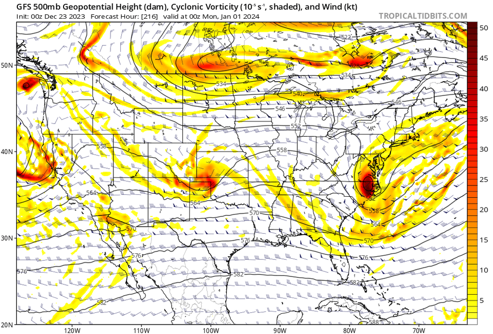
Second, the predominant longwave pattern or flow. Look at this below.

I have highlighted the pac jet there. How would any cold from Siberia be able to get here given that flow...cross polar flow is completely cut off by the pac jet blasting across N America. Furthermore how would our source regions even be able to develop home grown cold with that flow blasting warm pacific air across the whole continent.
It is not always cold in Siberia, well WRT normal anyways... right now it is...see below

But the flow shifts and becomes more progressive and that cold is forced out into the pacific and quickly gets obliterated as it mixes with the pacific maritime airmass...so look at next week

It's now warm in Siberia, but its still not cold here its just warm EVERYWHERE...literally the only cold in the whole hemisphere WRT normal are two small pockets over Greeenland and Alaska, both of which are under a TPV at the time. 90% of the land masses across the whole N Hem is well above normal.
As for your other questions regarding how much of this is random v "you know what". I can't say. I can say the pacific pattern which is responsible for this is partially cyclical. We are in a hostile PDO cycle. But I can also say that there are some factors contributing to this which make it worse which have been linked to "you know what". The expansion of the pacific basin circulation which is linked to warming has compressed the jet speeding it up making the problem worse. The warm pools in the western Pac/IO are making this worse and also linked to warming. I have no idea what percentage of this is just cyclical and what percentage might be warming but its likely some of both.
This post has me back to thinking we are seeing illusions on the long-range good looks. LOL! Need more luck than usual to get stuff to do what we need it to do these days! Thanks for the breakdown... now I will breakdown!
 LOL!
LOL!
-
2
-
-
12 minutes ago, Ji said:
not a debbie downer but the Euro season models had December by far as the stormiest month. Jan and Feb were nowhere near as precip heavy as December so we cant be expecting noreasters evert weekend once the cold arrives. in 2009--we had to wait from Dec 19 to Jan 30 for a snow event
Ya.. looking at the long-range predictions, especially the Middle part of the Mid-Atlantic was showing near to below normal precipitation. The heavier stuff was southern VA and south or up in the NE. We do not need above normal precip to get big snows though. We just need the good timing when we get a storm and a more favorable setup to make the luck we always need more possible
-
1
-
-
A little taste of light snow and cold Temps. I would take any snow falling for the Christmas spirit. Things are shifting around for sure.
-
1
-
-
3 minutes ago, Heisy said:
Someone will def get a surprise if that H5 closes off and dives somewhere near the coast. Pinpointing that at this range is impossible but this is starting to gain legs. Would love the cmc
Or gfs to show it today
.This has the feel of a famous miss around Christmas and a famous March that should not be talked about
-
1
-
 1
1
-
-
The GFS had a bit better of an evolution with the low. I mean, it is a good rainer and would be an amazing snow if it happened the right way and we had cold air. But the last few days it has looked soooo strange.
More drought denting cold rain! Happy that it seems likely now.
Wish things would get clearer in the long-range for more chances, but I think we are going to see some strange outcomes! THANK YOU to the knowledgeable posters for the details and nuances that can be good in the midst of a lot of bad looks.
-
i predict a model flip psych out soon. Lucy football situation


Jan Medium/Long Range Disco: Winter is coming
in Mid Atlantic
Posted
Trends are not super friendly here! We shall see. That 50/50 is key (a myriad of ther things)! We are getting to a range where some better understanding of Thursday's low and the 50/50 interaction. It is all a delicate dance, and our feet keep getting stepped on in each run. I am a deb here, but that is what I am seeing. Does not mean it is correct. Just remember, PSU was fringed at one point! Now models are giving PA and the NE snow. Just an observation. The ensembles give me pause and some hope, but just not loving trends.