GansettBay
-
Posts
94 -
Joined
-
Last visited
Content Type
Profiles
Blogs
Forums
American Weather
Media Demo
Store
Gallery
Everything posted by GansettBay
-
50 degrees with some of the densest fog I've ever seen. Vis less then 1000ft for all the wrong reasons
-
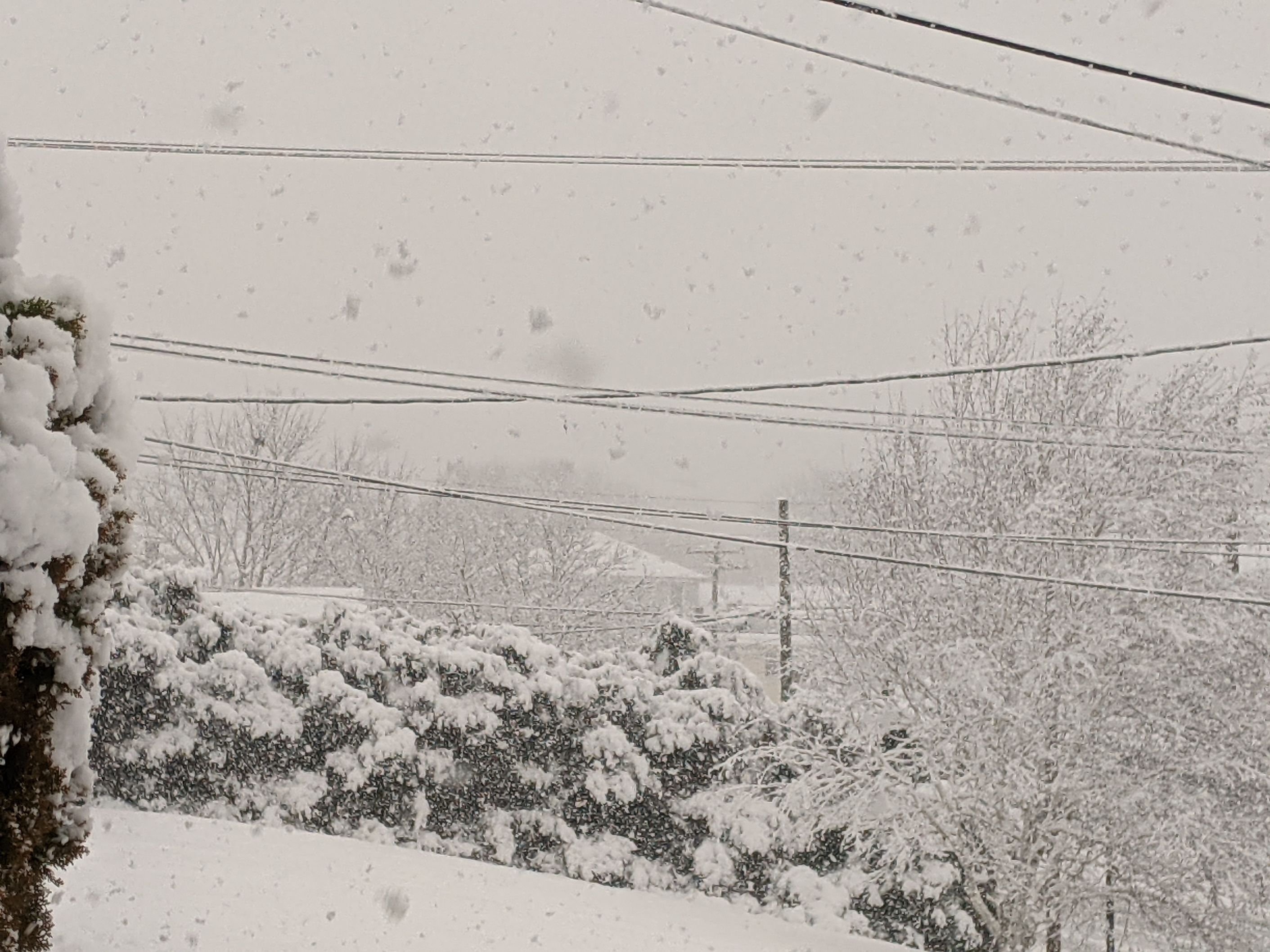
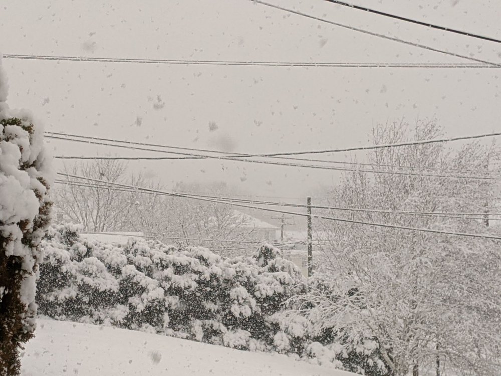
Best snow of the year atm. Pouring 1" flakes
-
Looking forward to that!
-
S+, vis around 1/4 mile. Temp dropped from 35 to 32 in less than 10 minutes. TWC took the rain out of the hourly. I'm hopeful for 4-5 inches but 6-7 seems within reach if this keeps up for a few hours
-
The nearby transformers surged a few times and then blew. Powers been out for about an hour now. Rain/ wet a$$ snow since.
-
We have about 8 inches here in the SE corner of CT. Lots of QPF but it's very wet and compacted. Definitely not 10:1
-
I was thinking similarly. The temp hit 32 around 12pm and has held since. I think with some luck we might hit 10" here
-
Seems about 6". Not the easiest to measure though. Beer doesn't help. What are y'all thinking for timing changeover southern RI/CT boarder? Radar has the line pretty far south still
-
This band is bangin. Giant flakes. Definitely hitting 2"/ hr or more right now. Gonna go on a walk and enjoy this snow while it lasts!
-
Eyeballing a little over 3 inches here on the westerly/ pawcatuck line. The northern edge of the band is just approaching my home, although the meat of it seems to be a bit west. We haven't seen the winds I was expecting by now, but gusts appear to be around 30-40mph. Biting my nails over this rain snow line/ timing. Temp is up to 32 now
-
It looks like onset has been expedited to 7pm here in Westerly, but it doesn't seem to ramp up until early morning even though current radar seems solid. Is it expect to dry up a bit when it gets here?
-
Crushing. Looks about 6" so far. Lots of drifts over 12. The last of the grass disappeared as soon as this band came in. It's like a time lapse watch the drifts grow
-
Ripping. Looks like sleet may hit my doorstep by early morning
-
Getting whalloped by the band coming off the block island sound atm. Tough to say with the drifting, but it could be close to 2"/hr
-
Pretty good rates here in Pawcatuck CT. Snow is stacking on the roads despite a heavy salt layer.
-
March 12/13/14 Blizzard/Winter Storm/WWA etc
GansettBay replied to Bostonseminole's topic in New England
Getting smoked atm. 1/4 mile or less vis. Gusts are hitting 40+. Might be a little more than 2” on sidewalks. -
March 12/13/14 Blizzard/Winter Storm/WWA etc
GansettBay replied to Bostonseminole's topic in New England
I’m not mehing this storm or calling bust. Just saying that it appears my area is not going to get expected totals. Other people will score and this is an awesome storm. -
March 12/13/14 Blizzard/Winter Storm/WWA etc
GansettBay replied to Bostonseminole's topic in New England
Been thinking the same thing. I’m expecting the lower end of forecasted snow totals because growth is really struggling. -
March 12/13/14 Blizzard/Winter Storm/WWA etc
GansettBay replied to Bostonseminole's topic in New England
Yeah I saw that on Wunderground. So close. We had a nice burst down here earlier, but it didn’t pile up on wet, warm ground. -
March 12/13/14 Blizzard/Winter Storm/WWA etc
GansettBay replied to Bostonseminole's topic in New England
Looks like 3”+ on cars, but a wet 1.5-2” on sidewalks from window observations. Currently 33F and a high of 34 today. I’d imagine that’s not going to help the poor accumulation rates. Vis under 1/2 mile. So far not the most impressive this season by a long shot. Still thoroughly enjoying it though. -
March 12/13/14 Blizzard/Winter Storm/WWA etc
GansettBay replied to Bostonseminole's topic in New England
Little over 1/2” otg. When I got up at 3 it had just begun to flip down here.