

WesternFringe
-
Posts
988 -
Joined
-
Last visited
Content Type
Profiles
Blogs
Forums
American Weather
Media Demo
Store
Gallery
Posts posted by WesternFringe
-
-
Congrats, Georgia! This is the ULL bringing down cold air from that cutoff low at 500

.-
 5
5
-
-
Pretty sure this isn’t a cutoff low
It is at 500. At 18z Sunday
At 12z Sunday
-
 1
1
-
-
12 minutes ago, osfan24 said:
That should be a 2-3 inch per hour band. Instead, it's rain.
6Z GFS on Pivotal shows 2.66" of ice resulting from that deform band! lol
eta: Actually, this is the 0Z GFS I posted. The 6Z is not nearly as impressive, bringing 0.3" of ice

-
1 hour ago, buckeyefan1 said:
Euro 06z at 90

0Z at 96

6Z Euro looks just slower to move the ULL east than 0Z, which is what LWX was saying in their recent AFD:
To start, the long term forecast is riddled with uncertainties at this point regarding the progression of a strong upper-low. Recent runs of global guidance seem to be coming to some sort of agreement on the evolution of a strong trough diving out of the central CONUS into the southeast on Saturday. This system will likely cut off from the upper jet over the southeastern CONUS. From there, that is where things are a bit fuzzy. A surface low will develop to our south along the cold front that pushed through on Friday. The upper low track will be the key factor in how things evolve from here, as these are very tricky to nail down even a few days out, let alone five. That being said, the guidance has actually been trending later on this suite, bringing precip in more towards Sunday. This goes to show the uncertainty with forecasting cutoff lows in the long term. The shortwave to watch has actually entered the Pacific Northwest, so will be interesting to see if there is any sort of swing in the guidance as we get some balloon data today. There is still a real possibility that this system even slides by mostly to our south, but we will see what we can get out of the latest guidance today. -
50 minutes ago, usedtobe said:
Looks bad.
Ops are starting to be more important than ensembles at this point bc of higher resolution, right? And I count more than half that give western areas measurable snow, which I would classify as a win for this winter.
eta: But I hear you and understand it would have been better to see more ensemble members show improved solutions
-
18 minutes ago, stormtracker said:
10 more days. Just 10 more.
I know you are joking, but to be fair, that super bowl “threat” is only 7 days away! Lol
-
10 minutes ago, stormtracker said:
Euro and GFS couldn't be more different at H5 through 135 hr
They look very, very similar at 96 hrs. They start diverging from there and have notable, significant differences by 120 hrs that increase moving forward in time.
-
33 minutes ago, CAPE said:
eta- I was being facetious in that post, mostly. I don't think winter is over, but the creation of the new thread was supposed to quell the gloom/doom and whinging- but if anything it has ramped up more.
Agreed. If one truly thinks that things are so desperately bad that we can’t snow well in the MA anymore, then why visit this medium to long range thread?
It makes no sense to me. The only good reason to devote this many hours to a hobby that hasn’t produced much in the last several years for many in the sub is because one thinks it can snow well still. If one doesn’t think so, aren’t they kind of trolling us? On the other hand, if one does think it can still snow big and/or often, why keep pointing out the failures over the last few years and insinuating that this is the new permanent base state?
ETA: for the record, I believe it can and will snow big and often again in the MA. In the meantime, I will be tracking my ass off until it happens! Lol
-
1
-
-
15 minutes ago, CAPE said:
I made a post about that period this morning. I guess no one noticed lol. It could work out for inland areas at elevation if the timing is right. The synoptic set up as depicted is more problematic for the lowlands.
I noticed it! Probably because I am an inlander at elevation lol. But it is much more fun in here when we all score, so I root for that all day every day.
And thanks for posting great analysis. Appreciate the hopeful but honest takes from you and brooklyn and many others on here.
You all have taught this Yankee who grew up with plenty of snow in upstate NY in the 80s a lot about the science behind snow. Happy hour is upon us shortly. Cheers!
-
1
-
-
Just now, CAPE said:
As predicted, a new LR thread would just be overwhelmed by the same shit as the last one lol. There isn't any new positive vibe to be had at this juncture.
Only Spring can save us from ourselves now.
")
I think we have some good chances left this winter. Feb. 10-12 is a chance. I think people were over-analyzing a Day 10 Euro op run earlier. Let’s watch the ensembles and hopefully get something to track that can change the vibe for all of us snow lovers!
-
2
-
-
Have about 1.5” and lightly snowing still at 30° here in Augusta County.


-
14
-
-
33/33 nw of Staunton. Drizzle. Won’t lose any frozen to virga at least. Very soon the column cools enough and we should see actual snow here!
-
28 minutes ago, DarkSharkWX said:
NAM(3km) would make many happy


Models keep mini jacking Augusta County. 1-3” from pretty much all guidance. Let’s go!!
-
3
-
-
36° and misting NW of Staunton
I have been watching this minor threat like a hawk for days now because even when it wasn’t showing anything for most of the subforum, the models kept keying on Augusta County for a mini jack.
Super glad to see the Euro and NAMs jump aboard today and the trend towards a norther and more expansive precip field so that the majority of the sub hopefully sees at least some snow. We got this!
-
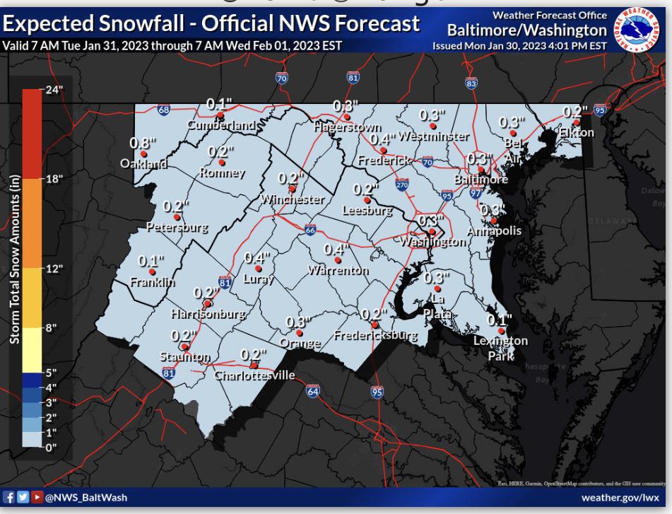
Updated lwx. Nearly a forum-wide dusting!
.-
2
-
 1
1
-
-
60° here in Augusta County at 1550’. Waiting on my Wednesday morning snow

-
I will try to get this in before pbp for the venerable Icon. Here is current snow cover in the US. TX, OK, and AR didn’t used to have snow pack every year, did they? That’s some crazy recent history which is likely to regress to the mean, in my opinion. Soon we shall have snowy times. Hopefully it happens this winter! And soon!

-
1
-
 1
1
-
 1
1
-
-
6 minutes ago, stormtracker said:
Oh no. Reverse psych doesn’t work and we all know it. I’m just legit tired man. I really needed the distraction of a snow event. I’m going THROUGH it irl brother. I’ve legit given up. It’s cool tho. Of course I’ll still be checking the models and dropping in, but meh…
I hear you. Hope you feel better soon. I have resorted to looking to chase possibly. I tend towards seasonal depression and snow is its kryptonite. Likewise craft beer and the strains I cultivate, but snow is the best. Hope we can cash in on a forum-wide 1-3/2-4 event at least before this winter turns to spring.
We had some heavy sideways flurries for an hour or so today, so that helped a little.
-
7 minutes ago, stormtracker said:
Ok. Let’s get ready for the 18z DH. Disaster hour.
Reverse psychology, or have you really gone negative on us when we most need your positive vibes? Lol
-
10 minutes ago, IronTy said:
This pic is famous amongst the "moth community". I've been doing this shit for 35yrs, I know how to raise them thicc.
.jpg.0747f0d791ce8584af8176e65dcc5ed4.jpg)
Why? Not joking or putting it down. Just seriously want to know! Is there an ecological benefit? Or do you just think they are cool and they are like pets?
But yeah, those look similar to the tomato plant eaters. And the horn worms they try to sell us at the pet store for my son’s bearded dragon.
-
1
-
-
21 minutes ago, CAPE said:Love me some high gravity ales!
After all the suppression depression from the GFS, can we go back to talking about happy hour drinks now? Lol
In actuality, we all know ensembles are more important this far out, so the fact the ops are showing chances and nearby snow is the take away.
Still love @jayyy’s post from a little while back so I saved it:
-
2
-
-
30 minutes ago, CAPE said:
Half way through one of these.
Dayum! Look at that abv. CAPE isn’t f-ing around!
-
1
-
-
Freezing rain wiped away my trace of snow, but ice is cool, too, I guess!


-
8
-
-
Mostly rain here now in Augusta County with some bb sized sleet balls. I know this because they feel different than raindrops and actually hurt a little when traveling 20mph on an atv. Lol

-
3
-
2/12 Potential Super Sloppy Bowl fumble with low scores possible!
in Mid Atlantic
Posted
Lets see what the gefs and Euro and eps say before completely giving up. The GFS hasn’t been consistent run to run for the last 6 runs, so accepting this as the inevitable final solution doesn’t make sense. Trends are against us, even out west at elevation, but still worth tracking for me at least.