

SENC
-
Posts
910 -
Joined
-
Last visited
Content Type
Profiles
Blogs
Forums
American Weather
Media Demo
Store
Gallery
Everything posted by SENC
-
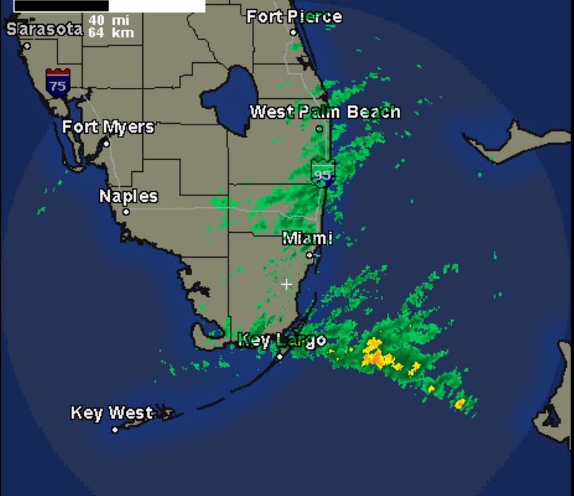
Like this? Convective T-Storms firing..
-
Har! Har! Har!!!!! OMG YOU are so friggin right!!!!!!! Congrats to those that got a "dusting of snow" especially,,, to those that got good amounts.. For all the others.. We down this way don't get hyped up at ALL.. As We hardly NEVER get snow, or Ice even. Our snow(s) always come as a pleasant surprise.. One GOOD thing is coming out of this, calling it Our silver lining.. At LEAST these Temps will kill the dern Skeeters off, here in the Low country until Spring.