

Blue Ridge
-
Posts
1,533 -
Joined
-
Last visited
Content Type
Profiles
Blogs
Forums
American Weather
Media Demo
Store
Gallery
Posts posted by Blue Ridge
-
-
1 minute ago, Carvers Gap said:
Which wx office handles Dickenson Co?
Charleston, WV (RLX)
-
 1
1
-
-
4 minutes ago, BlunderStorm said:
Interesting Update but you would think they would at least relent and lay down some winter weather advisories north and east of TRI.
Still too early for WWAs. Even if they decide on warning-criteria for the mtns, a watch isn't likely until the overnight/AM at best. We won't see WWA or WSW products until tomorrow PM at best, and possibly not until the mid-evening update or overnight/AM.
-
1
-
-
If you're taking requests from the peanut gallery...
Dandridge Dollop or Dandridge Destroyer both have a nice ring.-
3
-
-
3 minutes ago, bluegrassweather71 said:
Should I be liking my chances here in the London, KY area? I sure hope so, ten years is a long time to go without a white Christmas. lol
The 75 corridor, especially north, has been pretty consistently in the game with each model run. If a stronger, more amplified solution like the NAM presents comes to fruition, you're in a very good spot.
Edit to add: I'll echo the caveat @Carvers Gap mentioned - microclimate oddities do apply...
-
2
-
-
2 minutes ago, Carvers Gap said:
1-2. We deal with a significant heat island here and are right on the river, so our elevation is a bit lower than Bristol or JC.
Not to mention, the heat island seems to follow the river through the valley a ways. You double dip on unfortunate circumstances. Yet, seems like we have a few storms a decade in which SWVA and Sullivan are crushed while anything south of the Sullco/Washco border are blanked.
-
5
-
-
Hi, @bluegrassweather71! Welcome. @Carvers Gap hit the nail on the head. MRX are the kings/queens of hedging, but this is a situation in which it is certainly warranted. Given the high uncertainty, conservatism is warranted.
-
3
-
-
Nice little shower rotating through right now. Might be enough moisture out there to make sunset interesting tonight.
-
1
-
-
It’s interesting that the reports coming in from the lower elevations of NE Tennessee are on the light side. Seems like the Central Valley did really well.
.
The best moisture and lift remained concentrated south and west of roughly this line:
I’ve seen a few reports from Greene Co. and Washington Co. of 3” or better. Family in lower Unicoi Co. have damn near 4”. Meanwhile, Kingsport and Gray are lucky to have an inch, while friends in NW JC are reporting 1.5”.
As odd as it looked, I believe MRX was right to exclude Johnson County from the WSW area.-
3
-
-
6” on Roan Mtn [edit: specifies 3700’ - that’s not quite at the summit]
-
3
-
-
Interesting pulse rotating through right now...

-
2
-
-
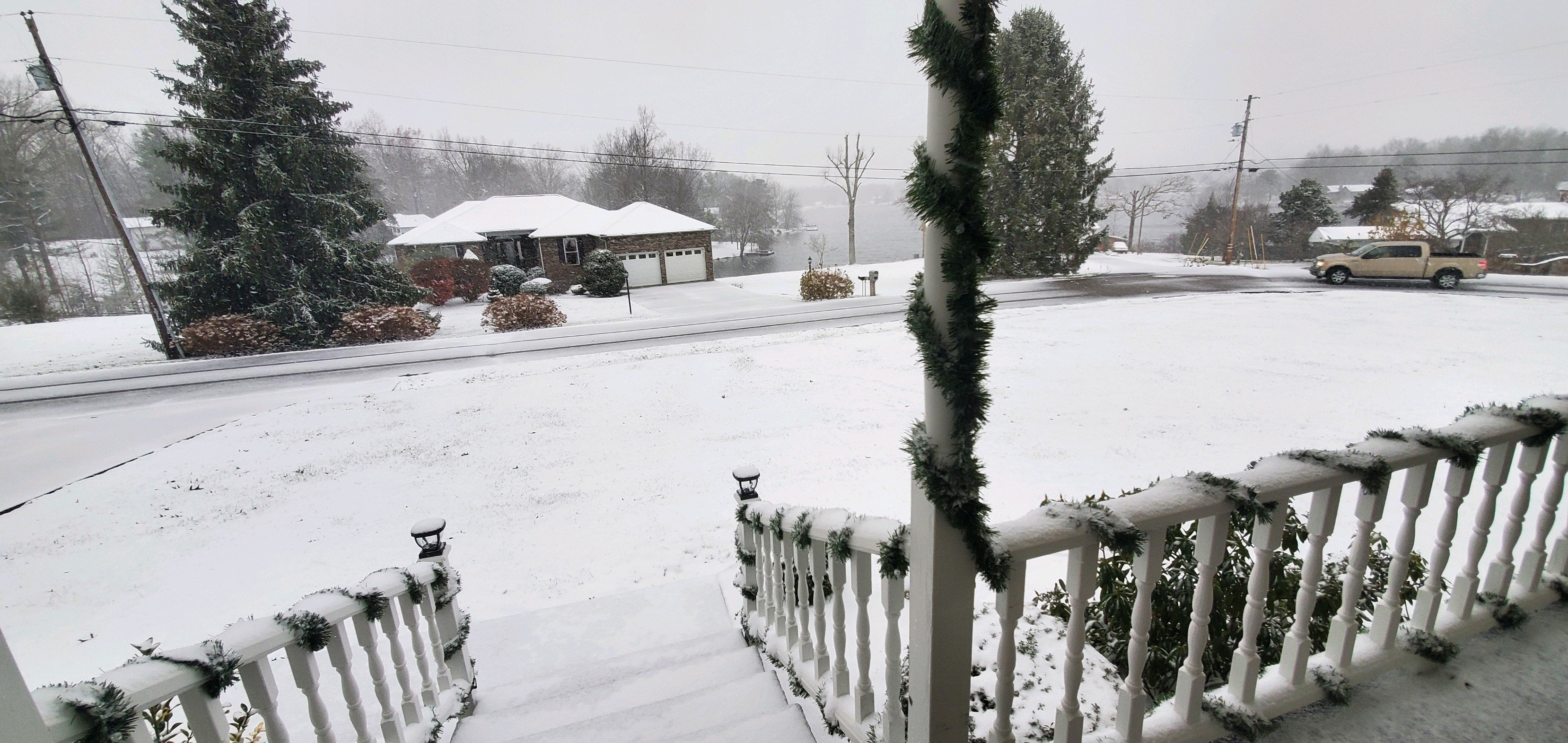
A solid 2” event IMBY. Main roads are well treated, but side roads are fairly slick. Woke up at 0400 and it was absolutely ripping. Should have gotten outside for a measurement while it was fresh; judging solely on appearance, I’m guessing a bit was lost. Like Holston mentioned above, the grass has that splotchy look already.
-
1
-
-
From the 9:00 PM AFD update:
Further east in the Valley, the system looks to have slightlyover-performed as a few locations have reported 1.0-1.5 inches.
You don’t say.-
1
-
 3
3
-
-
Ripping for the last hour. Went from nada to half an inch.
-
3
-
-
Cumberland/White Border

O_o-
2
-
 1
1
-
-
Kingsport/Gate City seeing any action yet?
Nothing on cams yet.-
 1
1
-
-
Snow/graupel mix at 35°
-
4
-
-
Wow, it’s snowing pretty good up here at the cabin right now. We just came up from breakfast and I’m so surprised at it starting this early. I think this bodes well for later !
Good stuff! Looks like a nice little pulse rotating through now. PWS per Wunderground shows temps around 35°-36° around the 2500’ elevation mark. Any idea what elevation you are?
Keep us updated!
. -
48 to 42 in two hours here in Jboro with absolutely wicked wind.
-
1
-
-
-
-
-
Just now, twistingtornado said:
Ah, I see now. It's earlier than the data I'm looking at. Looked like a very brief spin up.
Yes indeed. Deleted my original post to which you responded because I keep trying to embed my tweet but no luck. Here's the link again for anyone interested:
edit: of course now it works lol-
1
-
-
4 minutes ago, Chinook said:
So this is the 2nd or 3rd or 4th tornado to climb the Appalachians today? Sounds like April 3-4th 1974, when a tornado went over a mountain in West Virginia.
FWIW, these are largely riding the easternmost fringe of the Valley.
-
4 minutes ago, Uncle Nasty said:
We are in Ooltewah. Woke my wife up and we got in the closet under the stairs. No reports of damages yet in our area. Rumors there was a touchdown but I'll wait until I see ground reports. Our house is 4 years old and built solid. The wind was howling. Hopefully we have no loss if life in our area. I'm hoping no damage at our house. We have underground utilities and lost power for 20 minutes. Lost it a 2nd time for 10 minutes. Everyone stay safe.
I cracked the closet door 1 time and you could literally feel pressure. Im guessing that was just from the main winds from the storm being so strong. Just hope we have no damage
Sent from my moto z4 using Tapatalk
Good to hear you're safe. Debris on radar says there was 100% a touchdown; question now is the exact path. The debris sig went directly over Ooltewah proper.
-
1
-

Dandridge Dollop 12/24/20 Storm Thread (Winter Wonderland)
in Tennessee Valley
Posted
Also worth noting that GSP issued a Winter Storm Watch (2-5", wind gusts to 40 MPH) for Avery, Madison, Mitchell, and Yancey, NC.