

Blue Ridge
-
Posts
1,533 -
Joined
-
Last visited
Content Type
Profiles
Blogs
Forums
American Weather
Media Demo
Store
Gallery
Posts posted by Blue Ridge
-
-
It’s only a dozen or so grammatical errors away from passing as a DT rant.
-
 1
1
-
 4
4
-
-
1 minute ago, BullCityWx said:
That would absolutely destroy Highway 12.
Yeah as much as I love the 25.1 bullseye IMBY, this just doesn’t seem worth it lol
-
Landfalling snowacane at Morehead on hour 174. Say it ain’t Sosa.
-
1
-
-
The wind has done a number tonight.
Went out for a measurement - best estimate is 1.25”. I have 6” mini-drifts in spots, though.
-
-
-
10 minutes ago, Avdave said:
Endeavor Air landed on 5L/22R at RDU has slid off the runway in a CRJ9 aircraft. 19 souls on board but havent heard of any injuries. There are a handful of birds circling over the airport waiting on clearance to land
DL 5501 maybe? DCA to RDU. Looks like another Delta/Endeavor (JFK to RDU) was re-routed to CHO.
edit: you mentioned the redirect in a separate comment. My bad.
-
It’s powder city in the Triangle and we’ve got dudes crying bust because we might not hit warning criteria.
Ignore list is getting more of a workout tonight than the ruler, and I’m fine with that.
-
8
-
-
Good band right now. Roads quickly getting covered.
-
Just now, eyewall said:
Some of that is mixing with IP/ZR
Yep - mentioned this in the obs thread. Per Twitter reports, sounds like Lillington, Dunn, Four Oaks, Benson, etc. are mainly IP, with some ZR mixing in toward the south.
-
For everyone on the ledge about banding: the bright returns around Lillington and points NE are IP (mixed w/ ZR toward Fayetteville).
-
1
-
-
12 minutes ago, wake4est said:
Just dumping snow now
You must be south and/or east of downtown HS. I’m SW and it’s a been touch and go.
-
I’d call it -SN at this point.
-
1
-
-
Flurries in Pineapple Springs
-
Sleet hitting the windows in HS.
-
7 minutes ago, nwohweather said:
Just feels like a hard wish cast map. Hard to expect these results out of such a weak low
Ah yes, noted wishcast artist *checks notes* Eric Webb?
-
10 minutes ago, SnowDeac said:
Where’s Brick?? North Raleigh looking pretty good right about now. Just texted my parents to see what’s up around North Ridge. Boring white rain in Charlotte.
He posted in the disco thread - snow for the past hour, apparently. Down south, it’s still a rain/snow mix.
-
3 minutes ago, FatherNature said:
I wouldn’t be surprised if someone around Wake County and RDU area wake up with a inch or inch and a half of snow tomorrow morning.
Upon what is this prediction based?
-
 2
2
-
2
-
-
1 hour ago, CaryWx said:
Could just about throw a wet snowball into the sleet zone from Cary
Hi, it’s me…the sleet zone
-
8 minutes ago, NorthHillsWx said:
Starting to hear some popping in the neighborhood… 30.8 with freezing rain. Hoping we don’t go dark. I’d say we’re at .25” so definitely looking like we’re on track for more than forecast
Good luck - we’re flirting with 32 here but I think power loss is a foregone conclusion given the frequency of interruption at this point. Fingers crossed we torch just enough before the worst winds move in.
-
Temp creeping up to 31 during lulls. Otherwise steady state with moderate ZR. Not a hint of sleet for some time.
-
Flipped to all ZR and it’s adding up fast. Gusting 20-25. Just had the first power flicker of the day.
-
21 minutes ago, Brick Tamland said:
Sleetfest 2022 here now.
Same thing in Southern Wake. Window rattling sleet.
edit to add: Wind picking up with gusts to 25 MPH. I’m glad this has been an IP show thus far.
-
23 minutes ago, CaryWx said:
Really? In Wake county? Not according to radar. zr still east of I95
If you’re looking at a “precip depiction” view, toss it. Those are flawed algorithms and rarely get basic rain/snow changeover correct, much less a mixed bag of WTF like we have this AM.
-
1
-
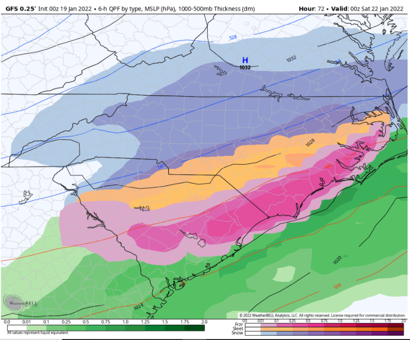
Potential 1/28-1/30 2022 winter storm
in Southeastern States
Posted
Either scores a coup or is hallucinating from glue consumption again