

psv88
-
Posts
15,661 -
Joined
-
Last visited
Content Type
Profiles
Blogs
Forums
American Weather
Media Demo
Store
Gallery
Posts posted by psv88
-
-
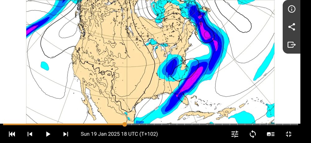
RGEM colder and brings snow out to eastern Suffolk now lol. Welcome to the party!
-
 2
2
-
-
6 minutes ago, snowman19 said:
EURO is 3-4 area wide
That’s not true. It’s a 3-6” event. Northern areas will be 6” maybe highest elevations 8. This is per Euro btw
-
1
-
 1
1
-
-
Could be a nice little event Thursday night for Long Island and coastal NJ. Outside shot now, but potential for 2-4” of fluff
-
17 minutes ago, EWR757 said:
A lot of CMC trash talk. While the CMC shift was more significant for major population centers, I'll suggest the ECMWF was more meteorologically significant.
The ECMWF AIFS AI did better, but it's likely the Google model did the best.
There are still warm air issues along the coast and urban areas tomorrow for at least the first few hours of precipitation.
NYC/EWR will be at best slush tomorrow afternoon, and could very well end up being melted snow or even a cold rain.
Google Graphcast had the most correct position of the low since Jan 15:
Take a break
-
3
-
1
-
-
Remember when the GFS had the SLP into fire island? Lol. Now has a snowstorm to block island
-
3
-
-
1 minute ago, jm1220 said:
Looking like another win for the Euro AI.
Absolutely. Terrible from the Canadians. As most of us said
-
4
-
-
Just now, Allsnow said:
What’s a 300 mile shift between friends?
-
4
-
-
3 minutes ago, weatherpruf said:
We will take a normal snow event that doesn't flip to rain or get eaten up by dry air. A solid 4-6 would be good.
This.
-
1
-
-
16 minutes ago, LibertyBell said:
How much did you get in the storm last February that dropped 6.2 inches at JFK? There was a narrow swath of heavy snow but I think it covered at least half of Long Island.
8 inches or so
-
1
-
-
4 minutes ago, MJO812 said:
Nam is nice

Beautiful
-
2
-
-
5 minutes ago, Rjay said:
NYC and immediate suburbs having WWA for 3-5" locally up to 6".
Includes all of Suffolk too. Haven’t seen such a broad advisory in a while
-
1
-
-
13 minutes ago, jm1220 said:
Somehow Port Jeff will jackpot like always.
Wonder if William/Pamela is still out there
-
2
-
-
4 minutes ago, bluewave said:
Again, the Euro has been the most suppressed with this event out of all the guidance.
Btw you still haven’t explained to @Dark Starhow the warm Great Lakes only impact night time temperatures but not day time temperatures. I was curious about that as well.
-
1
-
-
Just now, snowman19 said:
Not really sure what people are looking at right now on twitter, saying the EURO “caved”. It caved how exactly? It had 2-4 area wide yesterday at 12z, now it has 3-5/3-6 area wide. Nothing but inconsequential noise. No substantial difference. Windshield wiper effect. It’s actually been extremely consistent and it never turned us to rain at any point
Correct.
-
2
-
-
Just now, bluewave said:
Again, the Euro has been the most suppressed with this event out of all the guidance.
It’s also the only model which has been consistent with snow for the city and the coast. I’ll leave it there. You can spin it however you want, but from a SNOW standpoint it was insistent that the entire area will see snow. I really don’t give a shit if its SLP placement was suppressed. 99.999% of the population could care less.
-
2
-
1
-
 1
1
-
-
2 minutes ago, jm1220 said:
It'll be good to have some paste to start out so the snow doesn't all blow away during the week. It'll be a tundra next week.
Northwest Suffolk looks good for a solid high end advisory event now. Generally 4-6” snowfall looks likely from your area out to Smithtown north of LIE
-
2
-
-
1 minute ago, jm1220 said:
Euro probably 4-7" areawide. East of the city has the most QPF but ratios might make the amounts areawide similar since east of the city starts as wet snow. Very nice run and beefed up.
Nice cold press during the storm for coastal areas. Love to see it as opposed to the dreaded SWFES where we end with slop
-
1
-
-
2 minutes ago, bluewave said:
Again, models have been all over the place with snowfall amounts and the placement of those amounts. You can see why posters west of I-95 would be hesitant to give the Euro high marks based on this original suppression forecast and under 1”.You can go back to 2010 and see how models usually don’t have much of a clue on snowfall beyond a day or two. Those headline model skill scores really don’t apply to East Coast storm tracks. We can remember how suppressed the Euro was for January 2016 and the actual totals were more than double what the Euro had a day before. Remember how some people didn’t want to believe the amped up NAM which was correct. Or when the Euro had an historic NYC snowfall in January 2015 but a wide miss with heavier totals east.
But you are correct in a sense that models usually don’t completely miss storms. Unless we go back to January 2000. But P-types and amounts are usually in play sometimes right up to nowcast time.
Posters west of NYC hesitant to give Euro high scores on this original Euro first guess

That was a 7 day forecast! We are talking day 5 or less. Stop. Even 7 days out it showed the potential for a light even area wide, which generally is correct
-
1
-
-
5 minutes ago, MJO812 said:


Yikes. Lots of weenie suicides by the northwest crew if this verifies
-
 1
1
-
-
4 minutes ago, HeadInTheClouds said:
OMG. The canadian never showed 2 ft. It showed 11-12 inches 2 days ago and at 12z today it showed about 8. Don't make it seem so drastic. Every model corrects closer to events including your Euro.
It’s weird how you keep ignoring that the Canadian models gave the city zero snow until today. Why is that?
-
2
-
-
Just now, bluewave said:
But the models are seldom correct with snow amounts beyond a day or two. So it’s not worth it to get overly invested until much closer in. Since that type of IMBY snow longer forecasting often leads to disappointment. Unless we go back to 2010-2018 when every snowstorm seemed to overperform.
Incorrect to the inch? Sure. But it’s wrong to say models cannot generally predict snow amounts “beyond a day or two”
we have known this was a 3-6/4-8” event (for the snowier areas) for 5 days. Nothing has changed.
QPF output has generally been between 0.25 and 0.50 for most models. We knew there would be cold air to work with. For areas north and west this was a relatively straightforward forecast. Trickier for areas right on the line
-
1
-
-
Just now, HeadInTheClouds said:
So the euro was showing 2 or 3 for me yesterday and the cmc about 8. My forecast is for 6-8.
The euro was lighter in amounts and the Canadians gave the poconos 2 feet. That’s now off the table.
Canadians had the city and coast getting zero. That changed in one run lol.
-
1
-
-
Just now, wxman said:
Fair enough but a few of us were saying the rgem was on crack being so far west a few days ago yet it sure seems like the western envelope will prevail here.
The western envelope had the city getting zero snow and all rain. Is that your call right now?
-
5 minutes ago, bluewave said:
We track low placement from 5 days out and are not concerned with P-Types that early. The Euro and GFS started out very suppressed well Southeast of the Benchmark. So the CMC can shift 60-100 miles east next few runs and still win on storm track. Snow amounts are always the last thing we are concerned about since model skill beyond a few days has always been very low here.


No. Snow amounts are the only thing we care about actually.
-
1
-
1
-


Discussion-OBS slippery plowable moderate to high impact snowstorm with many delays near I95 and inland btwn 10AM Sun 1/19-4AM Mon Jan 20. R/S line uncertain near and east of I95 - parts of LI may be limited snowfall of around 1"?
in New York City Metro
Posted
Post the latest RGEM