

psv88
-
Posts
17,311 -
Joined
-
Last visited
Content Type
Profiles
Blogs
Forums
American Weather
Media Demo
Store
Gallery
Posts posted by psv88
-
-
87 today. Beautiful day to sail the new boat. Winds gusting to 20 mph or so was perfect
-
78 today.
-
35 minutes ago, Brian5671 said:
Looks like it's finally winding down...another monster event for some areas of the subforum
I can’t wait to hear again how we’re in a big drought after the area received 10 inches of rain this month
-
 1
1
-
 4
4
-
 1
1
-
-
2.48” storm total. 9.73” for the month.
-
6 hours ago, jm1220 said:
The flood watches east of the city probably could've been taken down yesterday AM although maybe Upton kept them up because of uncertainty with the surface low's evolution. But it was 100% obvious starting 48hrs out that the heaviest rain would be west of the city. The expectation was widespread 2-3" from what I saw which I think only happened in some parts of Suffolk. Much of Nassau and most of the city had 1" or less. I had maybe 1.7". Maybe someone had a flood warning in Suffolk but I was asleep. I wasn't optimistic since a lot of the models went to straight dry slot here but was a little pleasantly surprised.
A lot of Suffolk has between 2 and 3”. Im at 2.35”. Islip airport about the same.
-
4 hours ago, 495weatherguy said:
No one was “calling bust 2 hours into an event”. Monday was filled with warnings and precautions for Tuesday during the day. Merely commenting on the overhype of a rain event that clearly was going to be west of NYC, let alone LI.
This is not true. Look back at the posts.
-
1
-
-
2.21” total. 9.56” for July, Suffolk County.
the Long Island posters have to stop calling bust and whining early in events. Please.
-
3
-
 2
2
-
-
Getting destroyed out here. Firehose off the ocean. Up to 1.67”. As usual those calling bust 2 hours into an event look foolish
-
1
-
3
-
-
0.02”.
-
Good luck NJ, hopefully flooding isnt too bad.
-
1
-
-
42 minutes ago, WestBabylonWeather said:
I went up there not too long ago driving around. Did you go fishing or to park?
Tied up with some friends to swim and hangout for the day.
-
2
-
-
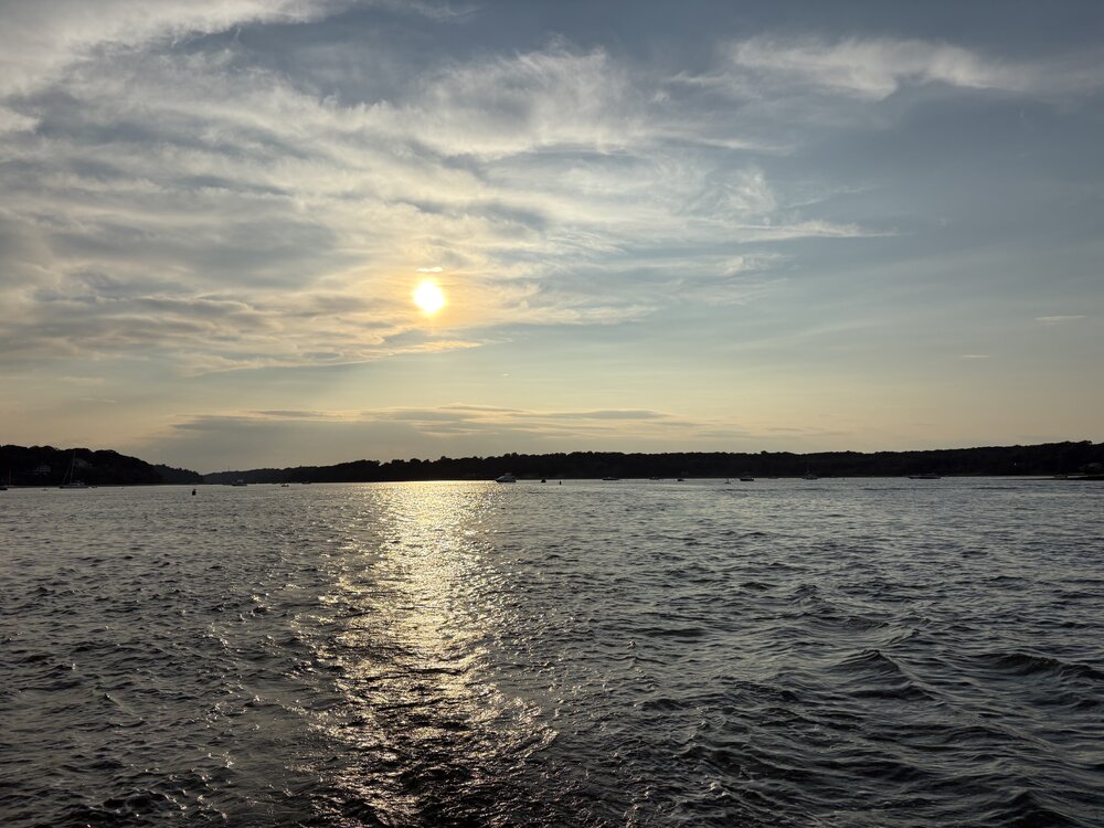
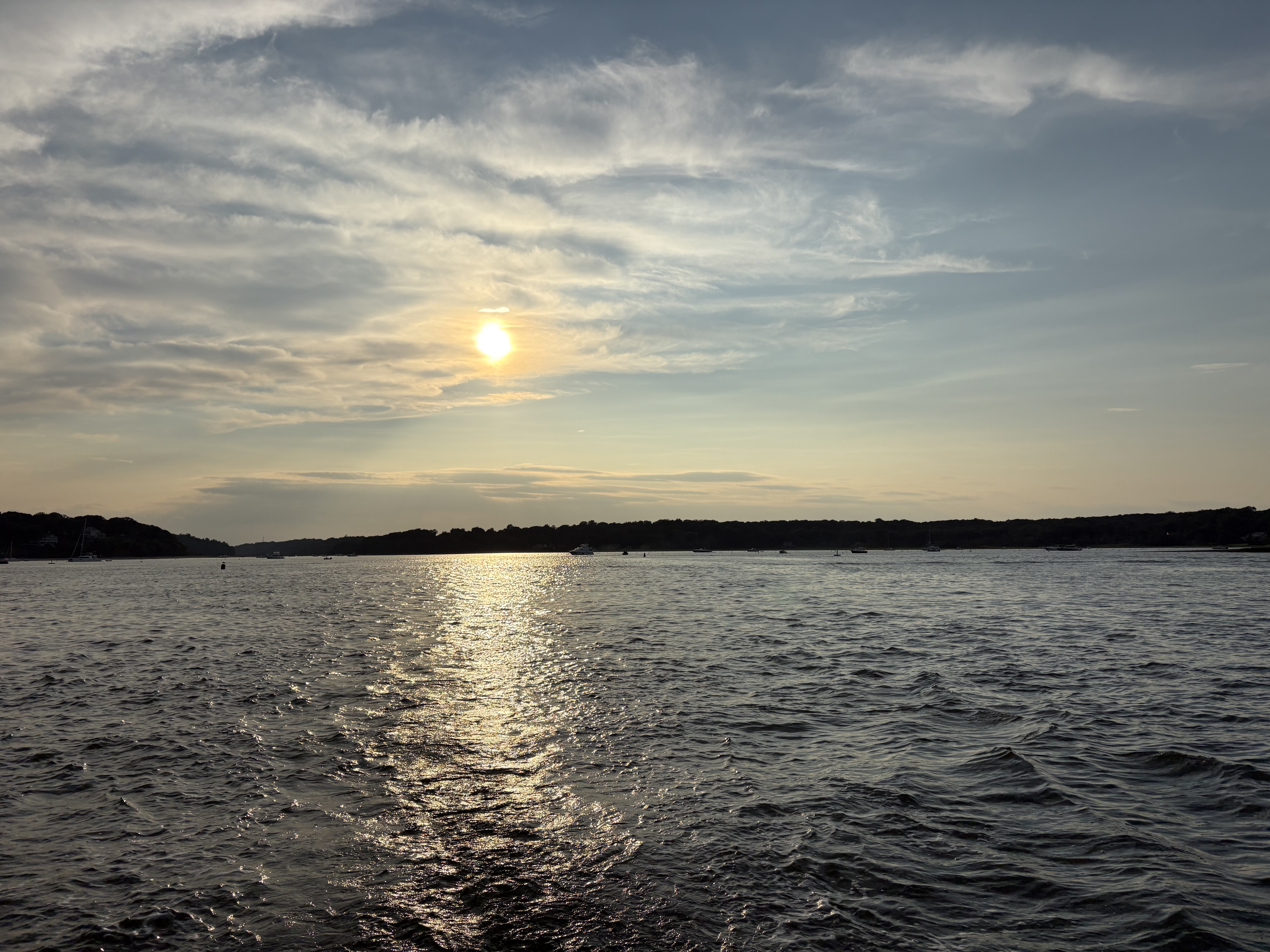
Lloyd Harbor, New York (Suffolk County) yesterday evening. Perfect day.
-
5
-
-
3 minutes ago, the_other_guy said:
Been saying this for years. There is an agenda here. Easy to see why Central Park would be cooler than the concrete hell holes that LGA and EWR are.
Now the concrete hellhole airports may be more representative of NYC climate as a whole, but that is another discussion.
That is vastly different then the pushed conspiracy theory that CPK temp readings are wrong
Buddy. When it’s 90 in Montauk and Weshampton and JFK and 86 in the park, it’s not an agenda or a conspiracy, it’s a temperature that’s not representative of the area. Don’t tell me it’s cooler in Central Park than all of the coastal terminals in early summer. Enough.
-
9
-
-
Showers bubbling up on some boundary across the island. Looks dark as night out there.
-
0.25” today.
-
6 minutes ago, jm1220 said:
Can always use the rain here in the summer.
Not always. My yard is a swamp. Seeing some lightning strikes in your hood from my office in Melville
-
Just now, jm1220 said:
Dying as it moves east as usual. It's the rare north to south setups that bring real severe to LI. Maybe around 25A gets some heavy rain, where I am probably some gusty showers. I can hear a couple distant rumbles of thunder.
Do you want tornados and wind damage? lol. Its not like we need the rain, weve had nearly 7 inches in July
-
1
-
 1
1
-
2
-
-
14 minutes ago, weathermedic said:
Severe thunderstorm warning for Bronx and Queens just issued until 5pm. 60 mph winds possible.
Looks like 50-60 in that cell. Bayville area probably taking it on the chin now
-
6 minutes ago, mgerb said:
Midwestern twister...
-
Just now, WestBabylonWeather said:
Wow. North and west cashing in. Virtually nothing (yet) South shore of LI
im ok not having tornadoes here. All set!
-
2
-
-
God damn. That looks really bad east of Motown...
-
That looks like a strong tornado southeast of Morristown. Debris sig?
-
57.5 this morning
-
81.5 today. 64 now.
-
1
-
August 2026
in New York City Metro
Posted
84 today. Florida pattern now. Steamy