psv88
-
Posts
17,310 -
Joined
-
Last visited
Content Type
Profiles
Blogs
Forums
American Weather
Media Demo
Store
Gallery
Everything posted by psv88
-
87 today. Beautiful day to sail the new boat. Winds gusting to 20 mph or so was perfect
-
78 today.
-
I can’t wait to hear again how we’re in a big drought after the area received 10 inches of rain this month
-
2.48” storm total. 9.73” for the month.
-
A lot of Suffolk has between 2 and 3”. Im at 2.35”. Islip airport about the same.
-
This is not true. Look back at the posts.
-
2.21” total. 9.56” for July, Suffolk County. the Long Island posters have to stop calling bust and whining early in events. Please.
-
Getting destroyed out here. Firehose off the ocean. Up to 1.67”. As usual those calling bust 2 hours into an event look foolish
-
0.02”.
-
Good luck NJ, hopefully flooding isnt too bad.
-
Tied up with some friends to swim and hangout for the day.
-
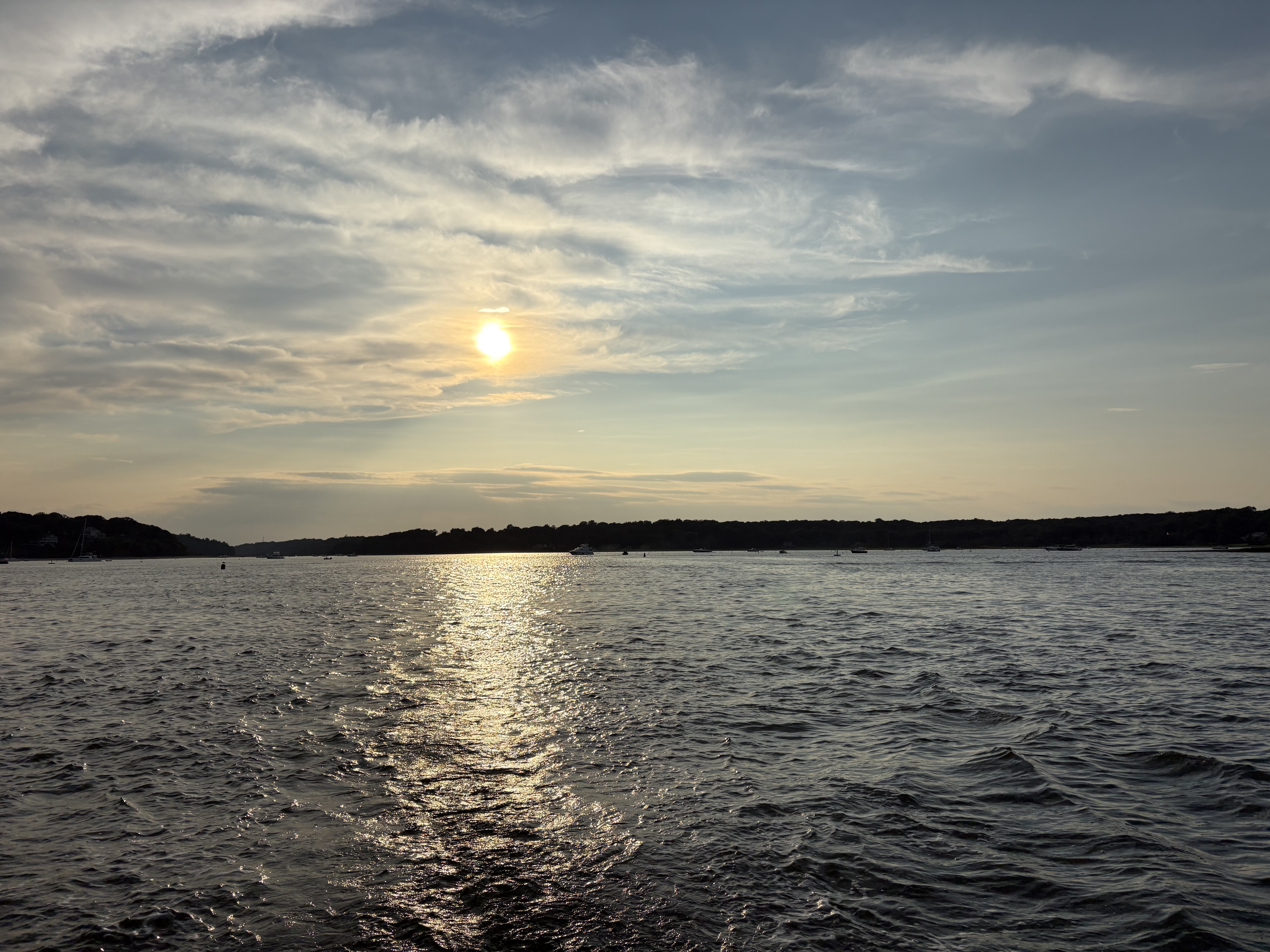
Lloyd Harbor, New York (Suffolk County) yesterday evening. Perfect day.
-
Buddy. When it’s 90 in Montauk and Weshampton and JFK and 86 in the park, it’s not an agenda or a conspiracy, it’s a temperature that’s not representative of the area. Don’t tell me it’s cooler in Central Park than all of the coastal terminals in early summer. Enough.
-
Showers bubbling up on some boundary across the island. Looks dark as night out there.
-
0.25” today.
-
Not always. My yard is a swamp. Seeing some lightning strikes in your hood from my office in Melville
-
Do you want tornados and wind damage? lol. Its not like we need the rain, weve had nearly 7 inches in July
-
Looks like 50-60 in that cell. Bayville area probably taking it on the chin now
-
Midwestern twister...
-
im ok not having tornadoes here. All set!
-
God damn. That looks really bad east of Motown...
-
That looks like a strong tornado southeast of Morristown. Debris sig?
-
57.5 this morning
-
81.5 today. 64 now.
-
Still have some smoke smell and haze