eyewall
-
Posts
13,158 -
Joined
-
Last visited
Content Type
Profiles
Blogs
Forums
American Weather
Media Demo
Store
Gallery
Everything posted by eyewall
-
Agreed. Not sure if it will get Crabtree going but we shall see.
-
The latest runs are bringing it back in our direction but yeah we shall see.
-
The east side of the storm, which is what you will be in.
-
If you are chasing try one of these two cells:

-
That had a nice hook as it came off the lake!
-
It is the CAD wedge we needed in January LOL.
-
Got to love the warmer half of the year ;). Anyway it is snowing today in the NC mountains and 47F in Raleigh NC midday which is very cold here for May.
-
LOL you have about a 10% chance of it being clear in VT at that time.
-
That is impressive. I only wish it was shot in landscape. The amount of lightning is insane.
-
They didn't hit a solid environment until reaching the Coastal Plain.
-
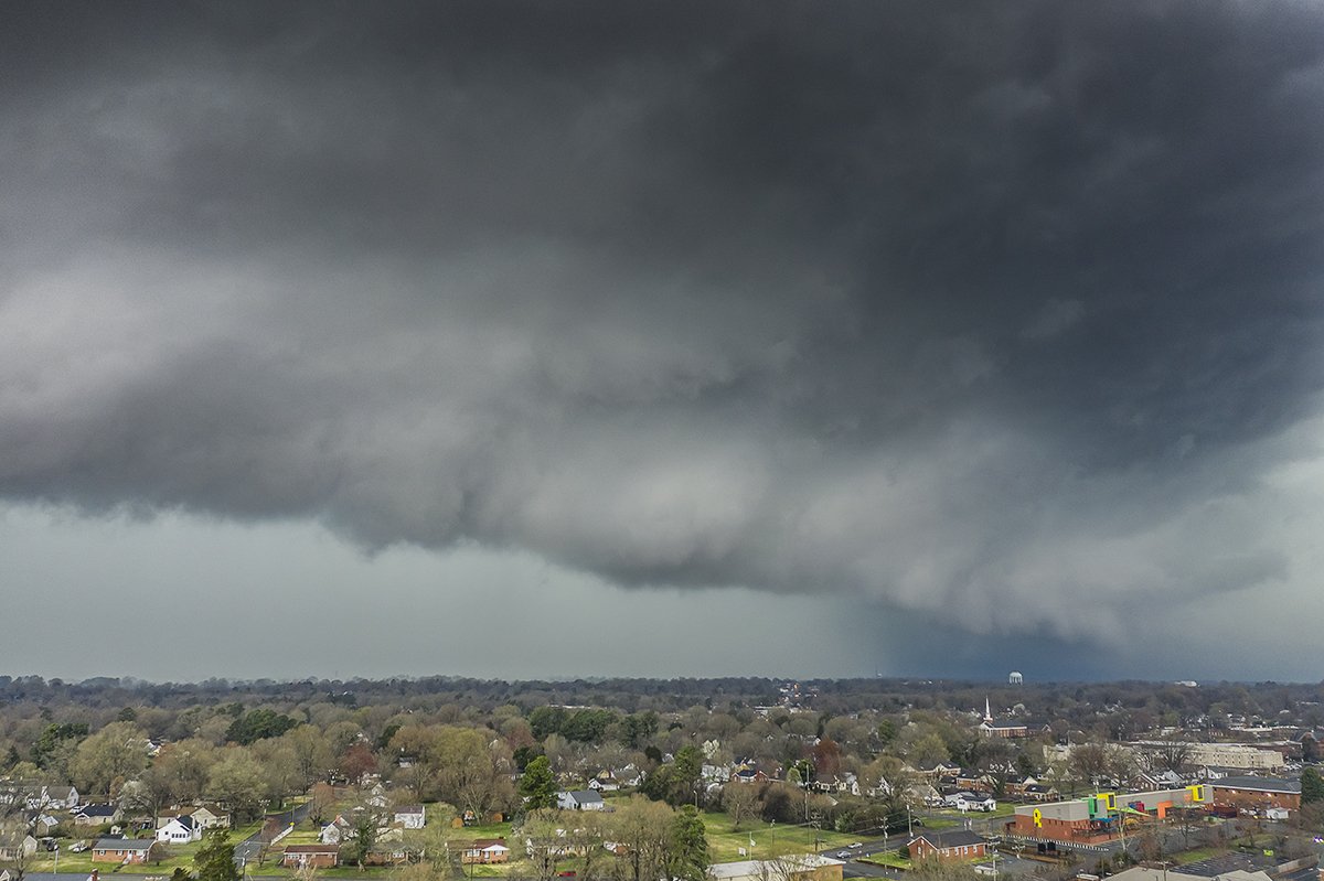
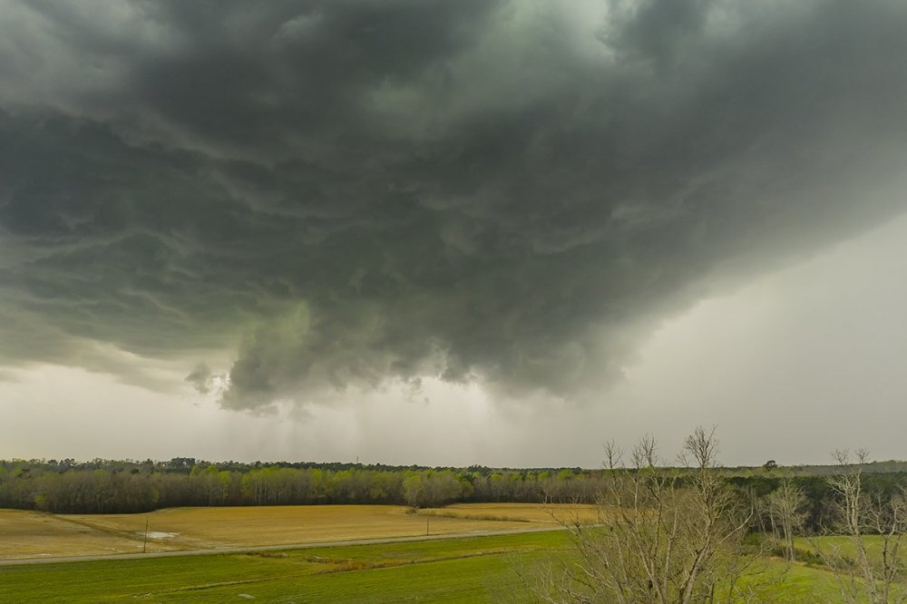
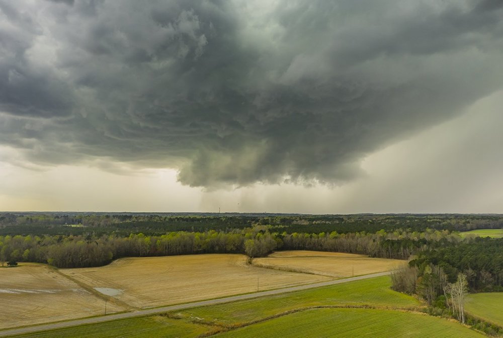
Got a wall cloud on the lead cell this afternoon near Dortches NC
-
I caught the developing meso outside of Apex of what became that supercell over Raleigh:
-
Proximity to the radar is also why the CC hole doesn't look as well defined.
-
It has been on the ground for over 60 miles and counting going by the CC drop.
-
yeah it is in a radar hole. The circulation is very intense.
-
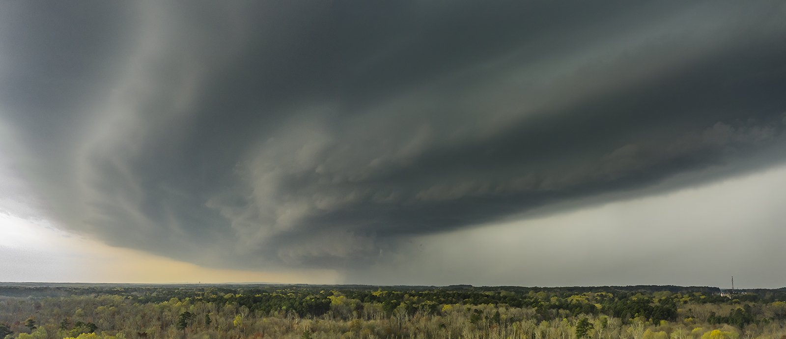
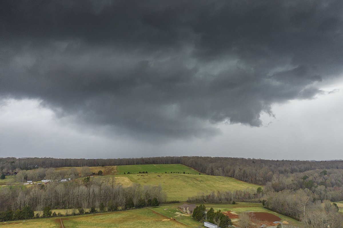
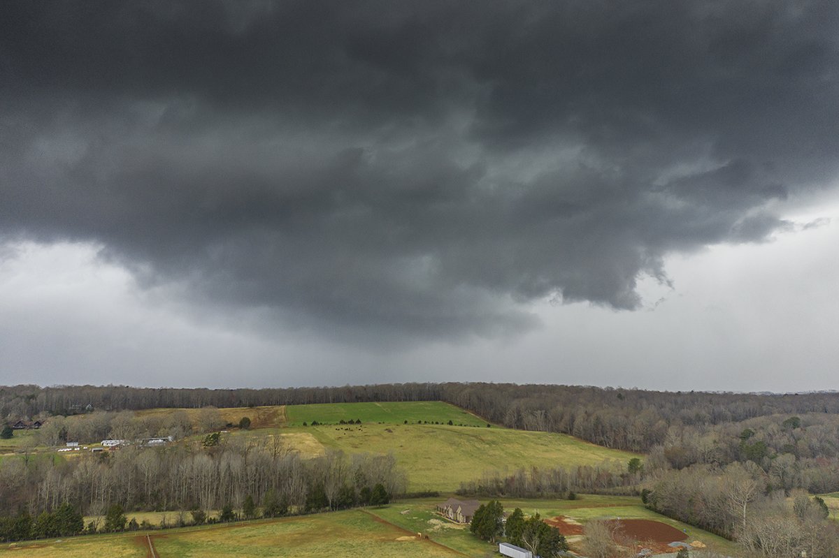
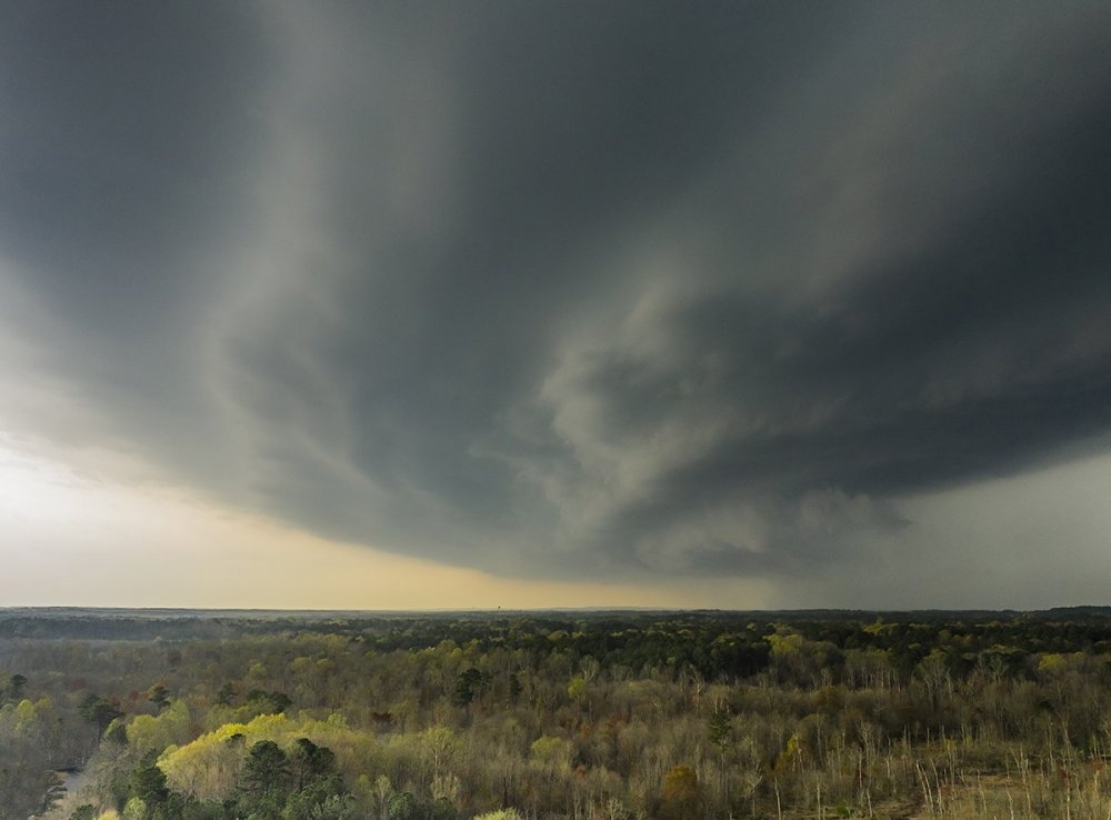
It will certainly go down as one of the worst Moderate Risk busts in some time. They seem to struggle when it isn't the Plains or Dixie Alley. None the less here is a pano I took of the tornado warned cell in Alamance County NC:
- 825 replies
-
- 12
-

-
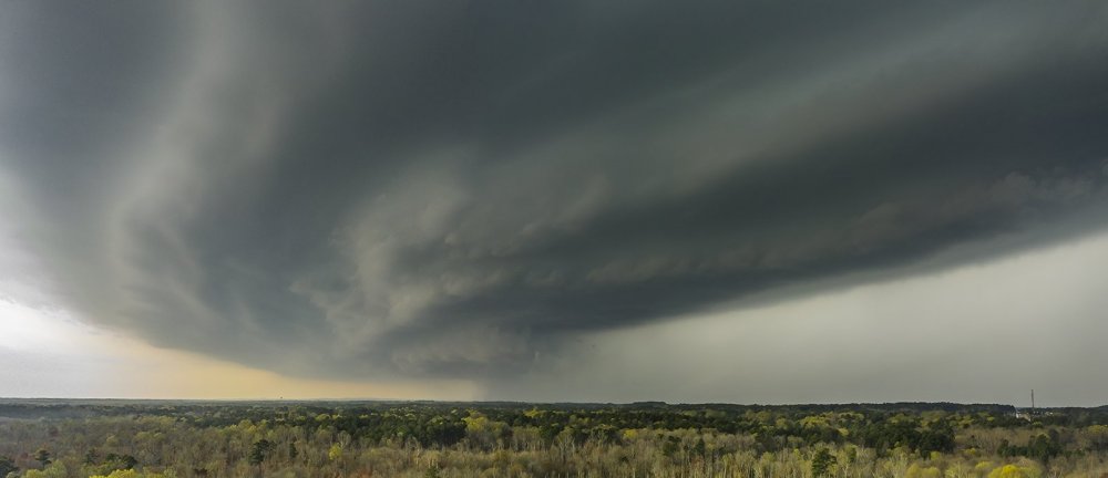
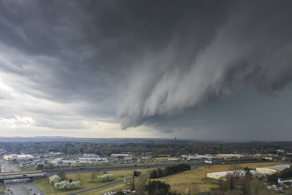
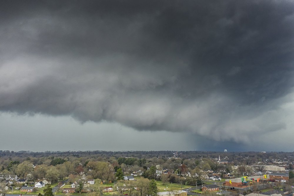
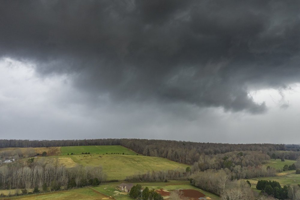
Alamance County NC this evening (Graham and near Saxapahaw)

-
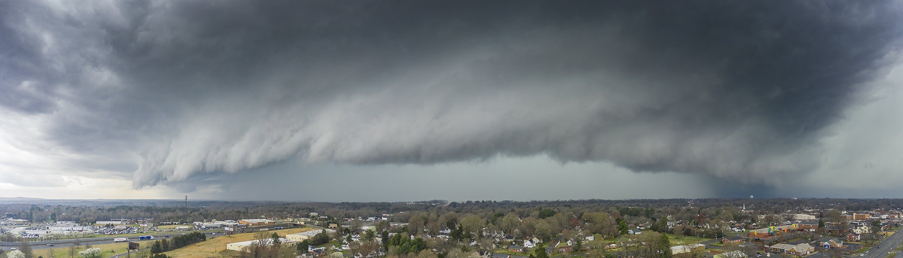
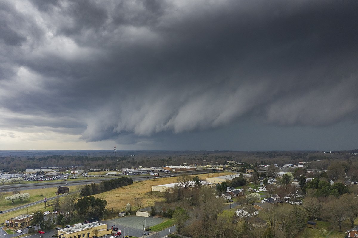
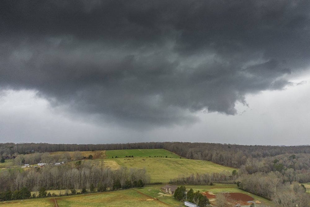
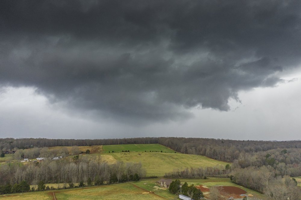
About to post some pics. I caught the tor warned cell in Alamance and then the next one to its southwest near Saxapawhaw that also became warned. If there was any funnel it was most certainly rainwrapped. None the less not a bad first chase of the year.
-
yeah I may roll west a bit.
-
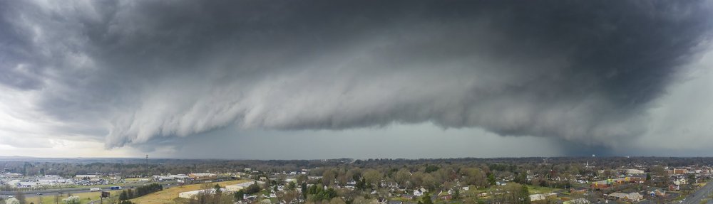
I will take a consolation shelf with the QLCS
-
Some breaks and filtered sun appearing here in Raleigh. The main line is still west of I-77
-
I would love to get something like that with drone
-
Downgraded to Enhanced in southeast NC/northeast SC
-
Yep. 50F and drizzle isn't going to get the job done.
-
Again on 4/16/11 in NC we had 30 tornadoes and hardly any sun that day.