

Eskimo Joe
-
Posts
24,546 -
Joined
-
Last visited
Content Type
Profiles
Blogs
Forums
American Weather
Media Demo
Store
Gallery
Everything posted by Eskimo Joe
-
We're in wedge season. Expect the cool/mist to hold.
-
Going to hike the Maryland Heights tomorrow. We got about 2/3rds the way up there this past summer but got chased off by a nasty thunderstorm. Here's hoping we can do it.
-
-
Sure they could, but it wouldn't be taken seriously by the residents. Well they're dumb for doing that. This is the one holiday that you can easily physically distance and still have fun. Hell, just dress up like a nurse or plague doctor and you're good to go.
-
Our neighborhood is decorated up. We're doing the whole candy down the PVC pipe for the kids. No one can cancel trick or treating.
-
Of course Halloween is going to be ruined.
-
Cheer up, soon we'll be in the 50s for Christmas.
-
Woke up to dense fog in New Windsor, but could see stars. Always neat to experience that.
-
People aren't taking this seriously and it's infuriating.
-
-
Eyeballing < 1 mile visibility. Going out to measure!
-
Is there any good news for us, or is this really looking like another shut out for us?
-
Got down to 34 in Reisterstown with frost in the cars and porch rails. Nada on the ground.
-
JB has really turned into an interesting person.
-
If this were winter, people would be melting down. What a cutoff.
-
What kind of QPF is Euro spitting out?
-
So the haptic rain sensor with my Tempest is not the greatest at picking up drizzle / very, very light rain. Looks like it's been underestimating the precip. When you get to RA- it picks everything up though.
-
Can we just cancel winter and move on already?
-
Yup. We haven't gotten to the point of no evening snow walks.
-
-
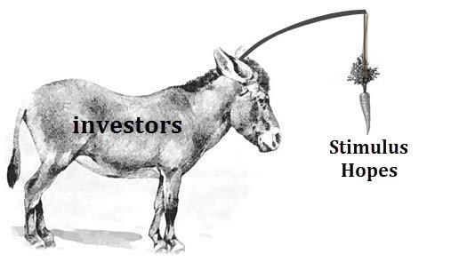
IMO, since 2008 we've pumped so much public money into the markets that they no longer reflect the "real" state of the US economy. If we let the market go, there's no way it would be over 25,000 right now. It's on a seemingly odd sugar high.


