StormchaserChuck!
-
Posts
2,274 -
Joined
-
Last visited
Content Type
Profiles
Blogs
Forums
American Weather
Media Demo
Store
Gallery
Everything posted by StormchaserChuck!
-
 Wish I would have went colder in Chicago, NAO was the wild card.. it had been negative against trend-analogs going into this 4/6 months -EPO really hit it too. In October I said +EPO Winter's averaged 7 named storms that point on, and we had 0 then after 19 early.
 -
hang back, hang back (it will-it always does) watch for it to get more cutoff/bombsouth though /snow north of Richmond though (5/9 Richmond-centered storms are in Dec)
-
January Medium/Long Range Discussion
StormchaserChuck! replied to WinterWxLuvr's topic in Mid Atlantic
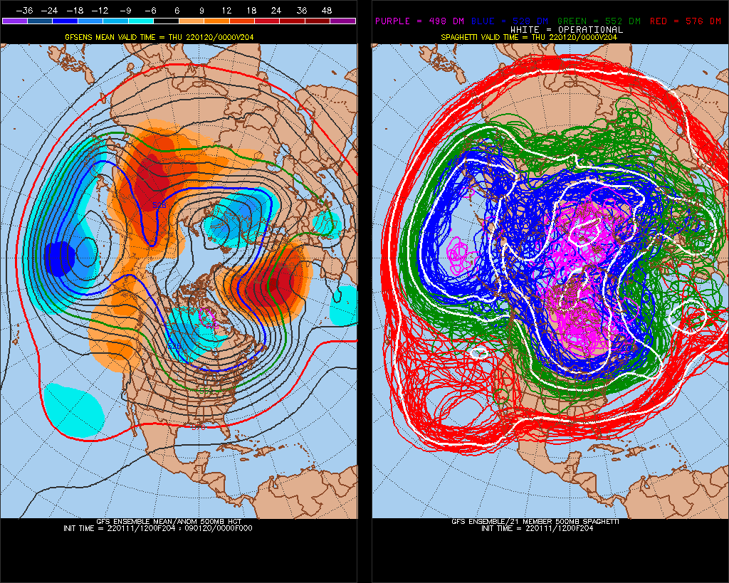
So much for that +NAO projected LR, It's a -NAO pattern this year. Feb 7-9-2022 +NAO is a big test. (^The timing of this -NAO lifting out isn't going to match STJ energy.).thumb.gif.c84d5ed49f25d090e2bdac787c860429.gif)
-
January Medium/Long Range Discussion
StormchaserChuck! replied to WinterWxLuvr's topic in Mid Atlantic
warmth is gravitating to the land, but it's a really good pattern. +AAM measures Earth momentum. Again, I like that cutoff piece for a snowstorm.
-
January Medium/Long Range Discussion
StormchaserChuck! replied to WinterWxLuvr's topic in Mid Atlantic
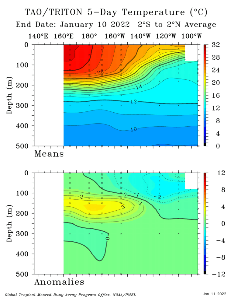
CPC maps are stronger, they have +6c in the central subsurface. history shows not much correlation, although 87-88 was negative in the subsurface during El Nino, and that was followed by a Strong La Nina. re: the storm, Well, it's 25 degrees right now. -
January Medium/Long Range Discussion
StormchaserChuck! replied to WinterWxLuvr's topic in Mid Atlantic
If the 1st piece slows down/holds energy back.. -
January Medium/Long Range Discussion
StormchaserChuck! replied to WinterWxLuvr's topic in Mid Atlantic
We are heading into El Nino, it looks like I showed you the counter example, 1987-88 where the cold subsurface water during El Nino gave us a lot of southern jet High pressures. I think the warm bubble in the subsurface won't last past April-May, but it does directly correlate to +PNA conditions directly(when 165W-135W is warm-warming).
-
January Medium/Long Range Discussion
StormchaserChuck! replied to WinterWxLuvr's topic in Mid Atlantic
STJ moisture is good Jan 22-26 it looks like. -
January Medium/Long Range Discussion
StormchaserChuck! replied to WinterWxLuvr's topic in Mid Atlantic
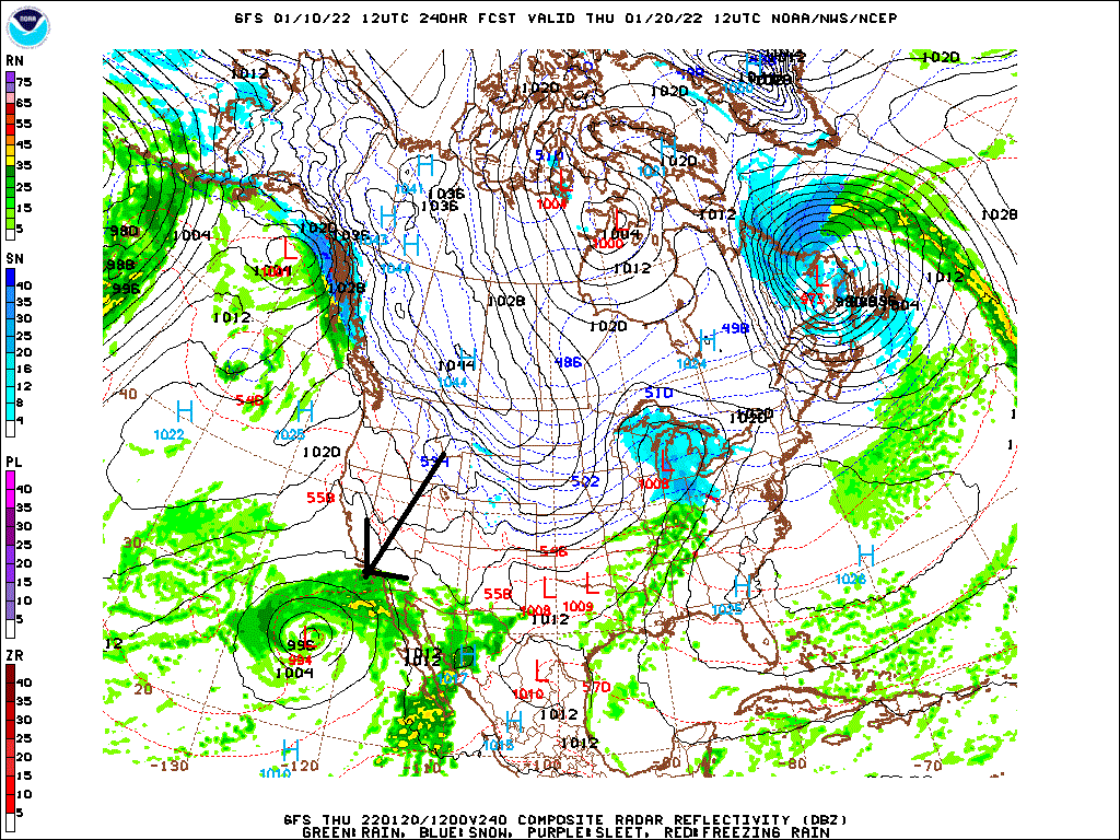
This is the one I'm looking at. If we have a -EPO/+PNA pattern the last week of January, this will be a big snowstorm probably.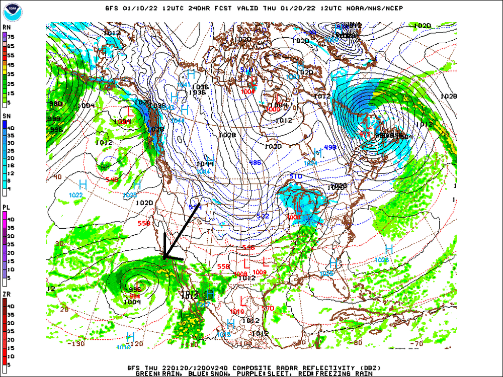
-
January Medium/Long Range Discussion
StormchaserChuck! replied to WinterWxLuvr's topic in Mid Atlantic
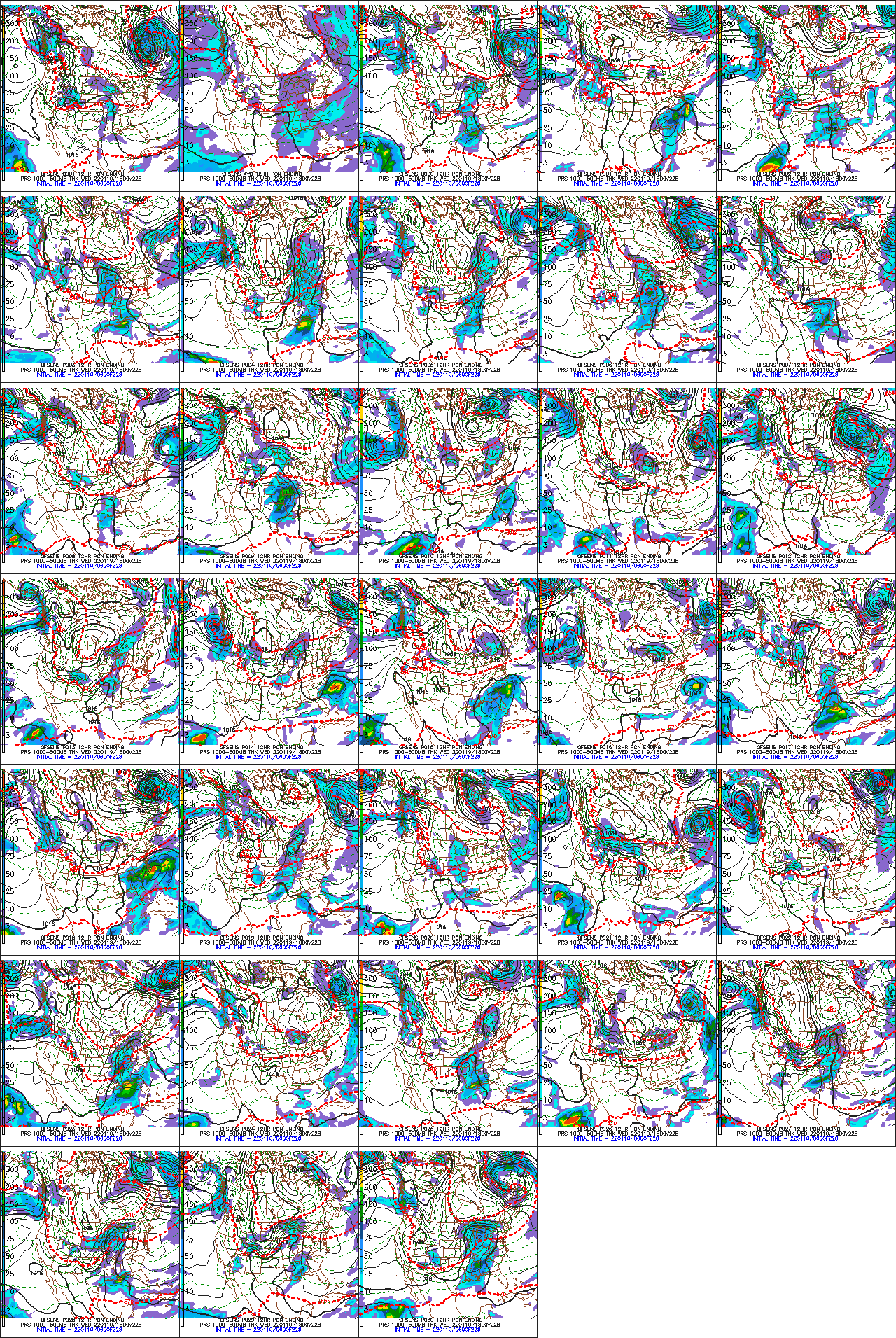
STJ near Mexico GFS ens's are borderline going back to -PNA/something at Day 15, so we'll see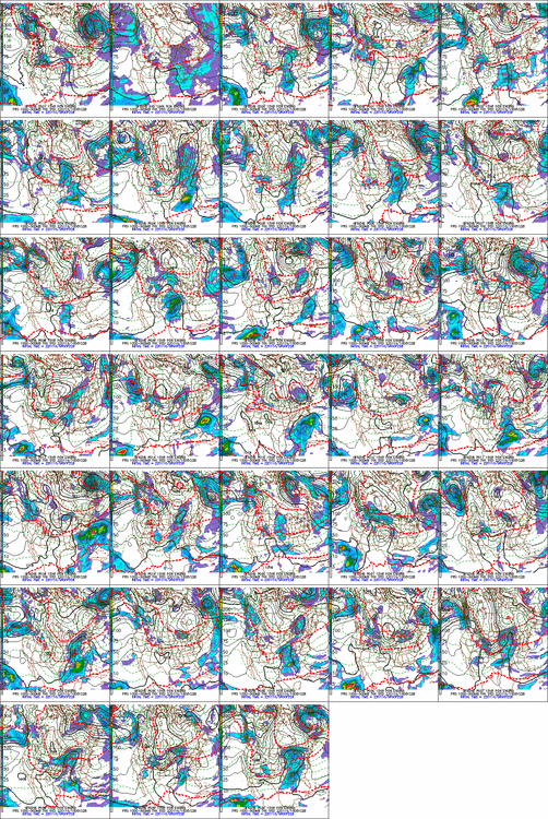
-
January Medium/Long Range Discussion
StormchaserChuck! replied to WinterWxLuvr's topic in Mid Atlantic
Let's see what's going on here at 98hrs This would be a great chance to trend west if not for this complete depletion of reverse-Dec -PNA. It's too strong otherside/+PNA. We miss it. NAO-PNA are running together wrt every storm. ^1040mb High pressure, we aren't even that cold believe it or not -
January Medium/Long Range Discussion
StormchaserChuck! replied to WinterWxLuvr's topic in Mid Atlantic
Yeah, Obviously when the -PNA comes back it's going to stick around for the Winter. Our window is small. I do have a +PNA signal 2-21/22-22 though. -
January Medium/Long Range Discussion
StormchaserChuck! replied to WinterWxLuvr's topic in Mid Atlantic
Yeah, let's see what is happening though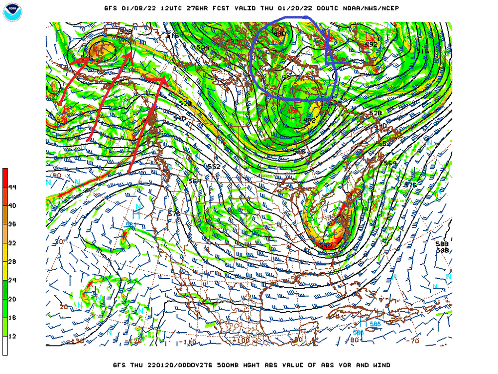
-
2021-2022 ENSO
StormchaserChuck! replied to StormchaserChuck!'s topic in Weather Forecasting and Discussion
well, 90% of the population never sees snow. GW might be a program, too -
2021-2022 ENSO
StormchaserChuck! replied to StormchaserChuck!'s topic in Weather Forecasting and Discussion
Yeah, warm pool should be centered in 2-3 weeks. surprised me. In this age of weather derivatives, etc. It should be interesting to see what happens, +PNA in La Nina +2-3 weeks from now (after what's already happening)? -
2021-2022 ENSO
StormchaserChuck! replied to StormchaserChuck!'s topic in Weather Forecasting and Discussion
-PNA for Feb, March, April, and May, I think. I have a +PNA signal for 2-21-2022 and 2-22-2022, and we have been reversing last year in the Pacific pretty good (strong -PNA February), but I think we will pull it off 4-month in a row after this. -
January Medium/Long Range Discussion
StormchaserChuck! replied to WinterWxLuvr's topic in Mid Atlantic
STJ looks juicy for this one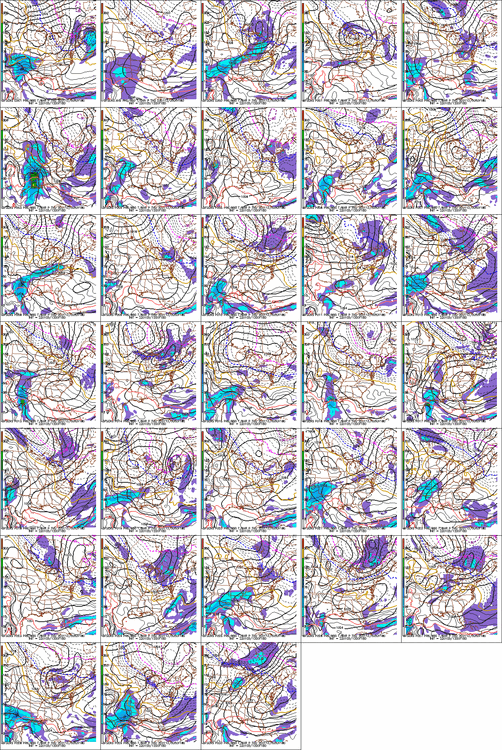
-
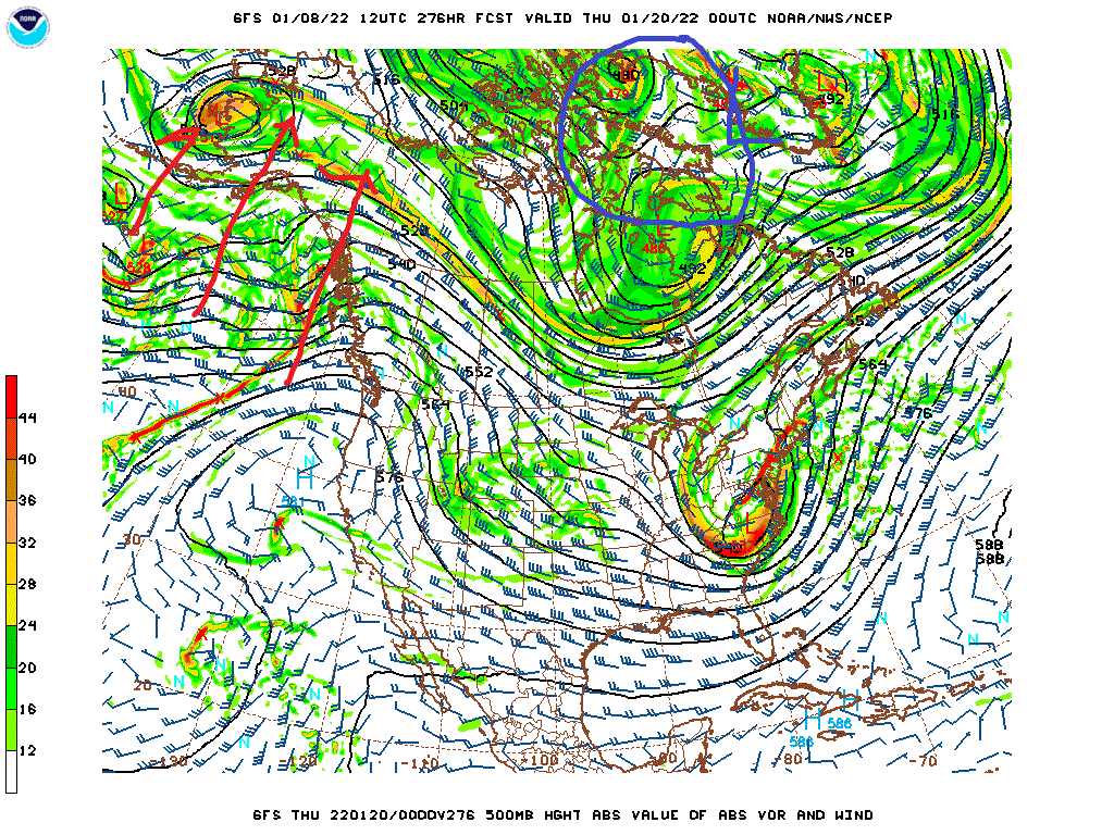
Yes, I've been watching it for 4 years. What falls, not in 6 hours, but overall is reprented. Totals were always lower when that map was low. simple mmk
-
January Medium/Long Range Discussion
StormchaserChuck! replied to WinterWxLuvr's topic in Mid Atlantic
Don't underestimate this one.. even as starting as snow briefly, everyone loves a good +PNA(not going to trend warmer) -
Yeah, we're going to get less than 1".. 1-2" if we're lucky
-
here.. accurate totals b
-
January Medium/Long Range Discussion
StormchaserChuck! replied to WinterWxLuvr's topic in Mid Atlantic
Watch the gravity over the SW Rocky mountains/warm Denver over the next few years. (We really need a Strong El Nino to even things out) We had a peak -PDO in the 1950s, didn't even out until 72-73, (65-66 was a -PNA El Nino) so we'll see.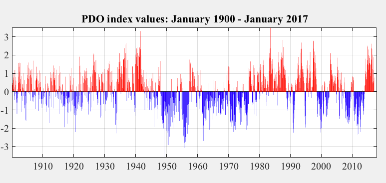
-
January Medium/Long Range Discussion
StormchaserChuck! replied to WinterWxLuvr's topic in Mid Atlantic
Like I said though, -PNA popped, pattern changes to cold after 36hrs.. which makes me feel less good that it hasn't happened already. It will happen though it's too short term, but blah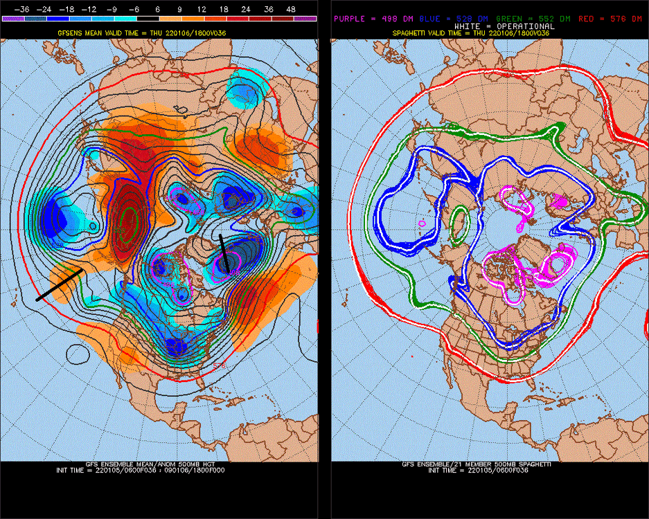
-
January Medium/Long Range Discussion
StormchaserChuck! replied to WinterWxLuvr's topic in Mid Atlantic
Surprise -PNA/SE ridge -
January Medium/Long Range Discussion
StormchaserChuck! replied to WinterWxLuvr's topic in Mid Atlantic
Opening the borders of Canada?
.gif.d7c1fb6e31a3d91818d72c0c95a0f237.gif)