JerseyWx
-
Posts
3,737 -
Joined
-
Last visited
Content Type
Profiles
Blogs
Forums
American Weather
Media Demo
Store
Gallery
Everything posted by JerseyWx
-

December 16-17, 2020 Storm Observations and Nowcast
JerseyWx replied to wdrag's topic in New York City Metro
Ended with about 8" (some spots slightly less). Not bad, definitely less than expected. Feels like winter nonetheless. @rgwp96 @ForestHillWx- 1,011 replies
-
- 3
-

-
- heavy snow
- sleet
- (and 4 more)
-
December 16-17, 2020 Storm Observations and Nowcast
JerseyWx replied to wdrag's topic in New York City Metro
Tons of sleet here. 6.5 inches. Butler, NJ -
Had rain and sleet, now snow. Not sticking to anything as of yet.
-
3 inches here. Had some roaring downpours earlier.
-
Roaring downpours with strong gusts.
-
November 2020 General Discussions & Observations Thread
JerseyWx replied to Rtd208's topic in New York City Metro
Tomorrow through next Wednesday is forecasted to be 70 or greater IMBY. That's pretty remarkable considering we are heading into the second week of November. -
November 2020 General Discussions & Observations Thread
JerseyWx replied to Rtd208's topic in New York City Metro
Thursday on could easily pass as mid to late September. -
October 2020 General Discussions & Observations Thread
JerseyWx replied to uofmiami's topic in New York City Metro
26° this morning. Downright cold for this time of year. -
remnants of zeta and potential first flakes for some areas
JerseyWx replied to forkyfork's topic in New York City Metro
Mostly rain, but there are wet flakes mixed in. Had sleet earlier. -
October 2020 General Discussions & Observations Thread
JerseyWx replied to uofmiami's topic in New York City Metro
Thanks, I like that layout. -
October 2020 General Discussions & Observations Thread
JerseyWx replied to uofmiami's topic in New York City Metro
Where do you get those charts from? -
Lol you knew that a post like this couldn't be made without me commenting This year, I find that the wind down of Summer is definitely a lot harder to grasp because of COVID. Usually I feel maxed out and content that everything I could have done was actually achieved. Hoping next year is a lot better, and I think it will be so long as people take this seriously and pay attention to their health.
-
Lol yeah, although the same thing is true for winter lovers who can stay home during a storm and don't have to actually travel through it. I can work in the sun and heat just fine unless it's really hot and humid, like 93/75 or something.
-
Really feels like summer today. I was just soaking in the warmth whenever possible. Feels great after a horribly damp and chilly spring. Been noticing a lot of grey tree frogs lately. It could be poor memory, and it probably is, but I don't remember hearing them alongside peepers before. I always thought the grey tree frogs came out later in June and beyond.
-
It's funny when the dews creep up into the low 60's this time of year, you really feel it. Now if we were nearing the end of a humid summer it would feel much better.
-
I agree with you and the others in terms of the supply chain. I think things will level out, especially now that there are limits imposed.
-
Yeah sometimes you folks in Warren get skunked when it's an east-west kind of gradient. Overall it's been a terrible winter, only decent storm came in December like you said. Outside of those 8 inches, a few other events were able to bring me just above a foot.
-
I'm still amazed at the lack of snow imby this winter. The HV and far NW NJ folks have nearly double what I do, just from small events that never came to fruition here.
-
Yeah I noticed that on the NWS site. Curious how long it holds together.
-
Well that's not bad compared to other areas. I'm barely over a foot. You and the HV folks cashed in on a lot of smaller events where I got nothing but maybe some flakes flying. Tomorrow is March, and next week turns wet and mild again. This winter has been such a disappointment, and that's coming from me, someone who lives for the heat of summer.
-
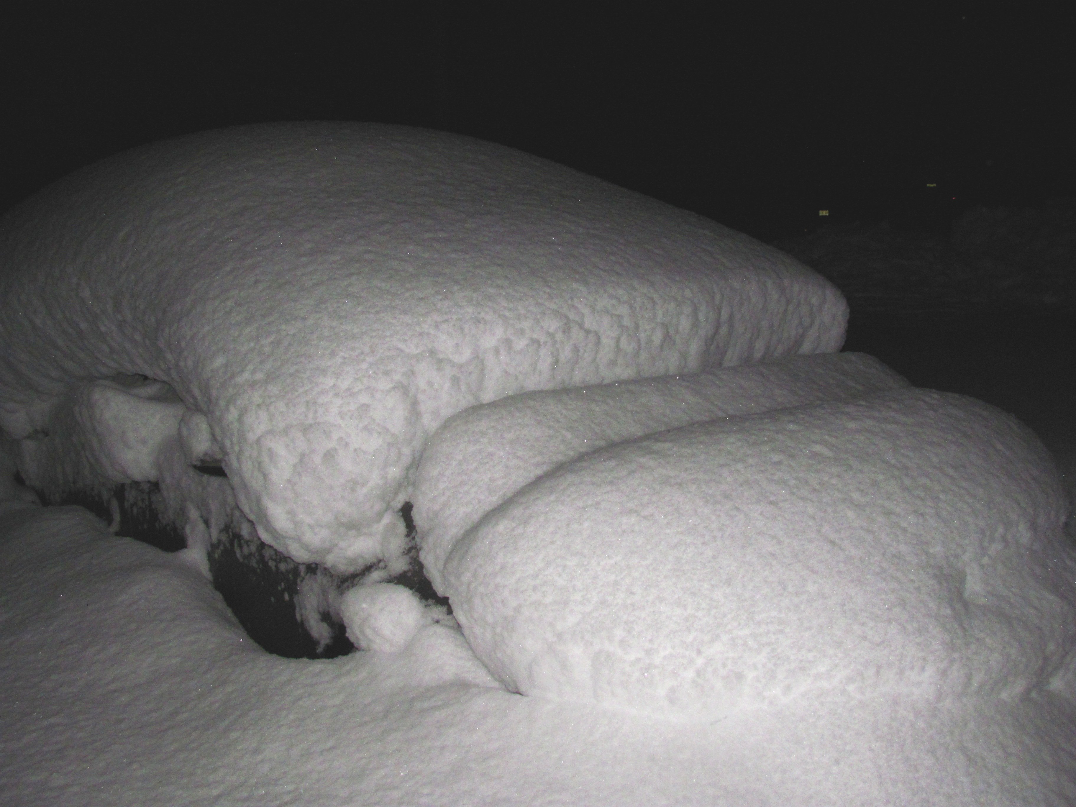
March 7. My area cashed in on some major rates. Best I've ever seen. January 2016 was an impressive storm here too.
-
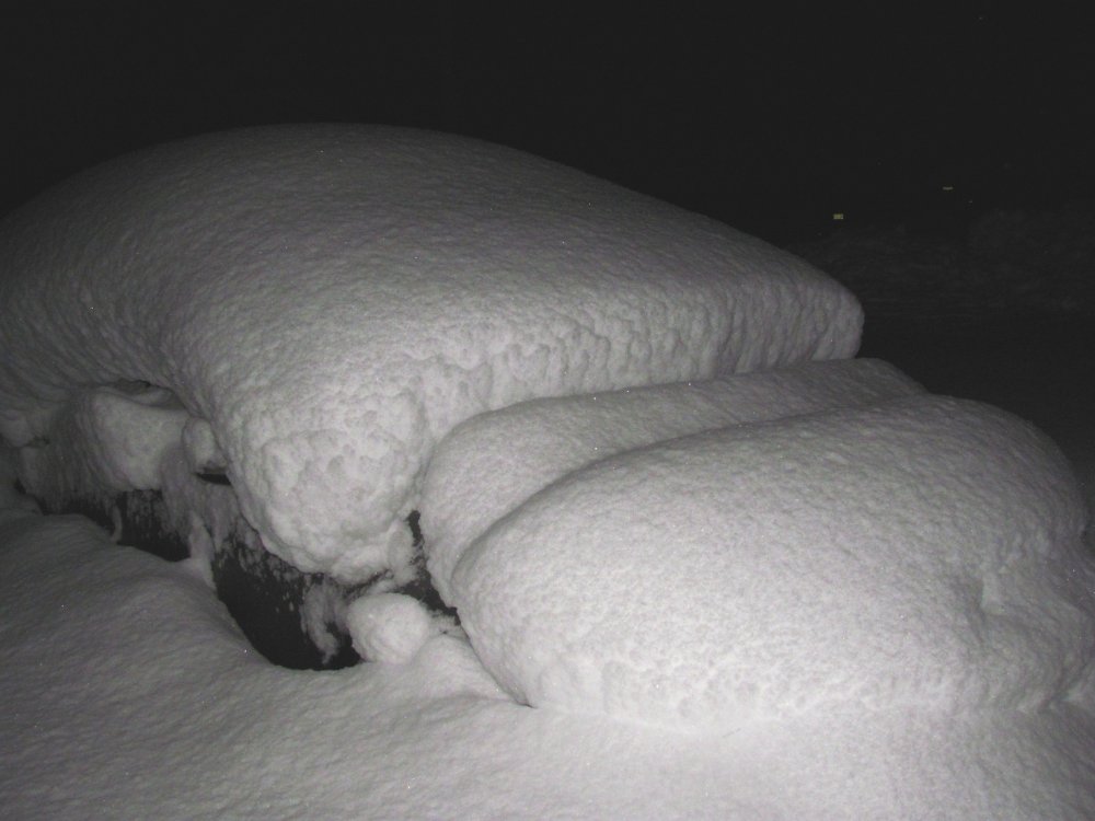
And then two years later in March 2018 we got this:
-
I love the Christmas season and the music that goes with it.
-
Definitely. Both explain weather phenomenon very well IMO. Speaking of leaf drop, my neighbors tree (which is almost entirely over our property) usually doesn't shed until after Thanksgiving, sometimes even into December. However, after last Friday's cold and wind combo, they dropped off faster than I've ever seen before. Most other trees around here are either completely bare, or if they do have leaves it is a mix of brown/dull colors. Really not much green left. Unlike last year, I waited to start raking until now, otherwise the leaves come right back.
-
It's a shame, I hope radio doesn't die out. I like 101.1, 104.3, 103.7, and many others. Fun to listen to the various DJ's. But, as we see more and more, the human element of things is being replaced/removed.