

WestMichigan
-
Posts
1,326 -
Joined
-
Last visited
Content Type
Profiles
Blogs
Forums
American Weather
Media Demo
Store
Gallery
Everything posted by WestMichigan
-
The lack of agreement between the models even this close to an event is surprising.
-
Fighting virga here. Every once in a while I see some flakes but nothing of substance yet.
-
you need a good clipper
-
Knowing GRR I would say probably not
-
Winter finally shows up in the UP
-
GRR hasn't posted any maps yet. I think they are too hesitant to make a call right now. The days long LES after this should really help stack up the snow. Might be time to break out the XC skis.
-
Not to interrupt the Chicago discussion but on the East side of Lake Michigan it is looking pretty good.
-

Let’s talk winter!! Ohio and surrounding states!!
WestMichigan replied to Steve's topic in Lakes/Ohio Valley
6z GFS says wait a minute, and it may be the kiss of death, but it looks like Central OH might get some snow. -
Winter '23-'24 Piss and Moan/Banter Thread
WestMichigan replied to IWXwx's topic in Lakes/Ohio Valley
I have a 54" blade but a lot of the time a blower would be much better. -
RGEM and ICON buth have less QPF and even with the RGEM east solution snow totals are much lower in MI.
-
GRR goes with a watch. Now to see if they can actually go with more than an advisory if this pans out.
-
HRRR says warm air for the win across all of southern Michigan and Illinois. Not sure how much I believe it but it is a different solution for sure.
-
You have a much better chance on that side of the lake than I do over here.
-
Let’s talk winter!! Ohio and surrounding states!!
WestMichigan replied to Steve's topic in Lakes/Ohio Valley
I remember my days in Central Ohio and whenever Ji entered the thread it was either something major about to happen or the WTOD was heading for Columbus. Glad to see you still lurk here. -
GRR reported 4.1" of snow with 0.94" of precipitation. Talk about some heart attack shoveling.
-
28.92 and still dropping here. Very consistent with those in Indiana and NW Ohio
-
What are the totals from that. NE IL and MI looks to really cash in with that look
-
Winter '23-'24 Piss and Moan/Banter Thread
WestMichigan replied to IWXwx's topic in Lakes/Ohio Valley
Wish I had one of those for my tractor. They are soooo expensive. -
GRR finally filled in the gap with a Winter Weather Advisory.
-
12z NAM says my area stays all snow. Not sure what to think about the slight south shift on the last 2 runs. Is it real or is it the NAM doing its usual shenanigans?
-
The Euro and GFS ensemble pressure mean has been fairly consistent of late and suggests that the low will track from near Chicago to South Haven the northeast to near Saginaw. North of this track, the precipitation will be mainly snow. South of the track we`ll see a snow to rain transition. It`s entirely possible that we could see several inches of snow accumulation difference between southern Kent and northern Kent county. looks like GRR is going to have some fun with this forecast. Someone is almost guaranteed to be mad at the weather guy tomorrow.
-
Managed about 1.5” overnight. Nice to see snow again.
-
Winter 2023/24 Medium/Long Range Discussion
WestMichigan replied to Chicago Storm's topic in Lakes/Ohio Valley
GFS goes crazy with the light intensity long duration LES across the western parts of Michigan. I'll take the under for sure on this run. -
Winter 2023/24 Medium/Long Range Discussion
WestMichigan replied to Chicago Storm's topic in Lakes/Ohio Valley
Wasn't sure if there was a NSFW tag needed on this one.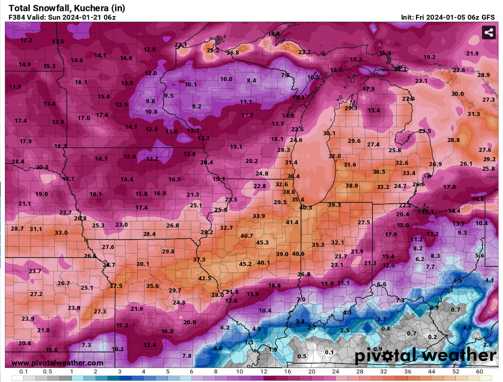
-
Winter 2023/24 Medium/Long Range Discussion
WestMichigan replied to Chicago Storm's topic in Lakes/Ohio Valley
Wyoming and Montana would have beavis1729 approved temperatures.


