CCHurricane
-
Posts
541 -
Joined
-
Last visited
About CCHurricane

Recent Profile Visitors
3,289 profile views


-

Saturday, July 18, 2026 Thunderstorm/Severe Weather Potential
CCHurricane replied to weatherwiz's topic in New England
Getting ready here in Barnstable for this MVY cell to move through. -
Amazing stuff - well done
-

-
Just getting around to seeing this thread. Phenomenal job. Should you ever need assistance with web-hosting costs, please let the forum here know. Myself and I'm sure many others would be happy to pitch in.
-
Oil will be $120 by midnight tonight!
-
3k NAM pumping up from ~1in. to 3in. in Boston.
-
ho-hum 6-8"
-
For Boston... 00z 12k NAM coming in with 6-8" 00z 3k NAM says, what snow? 00z HRRR says 4-6" 18z GFS says 4-6" 18z EURO says 4-6"
-
00z HRRR says Boston sees moderate snow accumulations...not buying that at the moment. Severe gradient just to the south, little to nothing down at the Braintree split.
-
"Don’t do it" 2026 Blizzard obs, updates and pictures.
CCHurricane replied to Ginx snewx's topic in New England
Tracking weather (either as a profession or hobby) is likely one of the most prone industries to confirmation bias. We all fall to it to some degree, especially with the number of models and frequency. Want the big one? Hug the models that show the big one and rationalize why THAT is right over others. Going to miss the big one and can't imagine not being in the Jack? Find ways to delegitimize others who have had a once in a generation experience. -
"Don’t do it" 2026 Blizzard obs, updates and pictures.
CCHurricane replied to Ginx snewx's topic in New England
Confirmation bias is undefeated. -
any idea if they'll actually get around to updating this map? So many of the reports represented are mid-day Monday obs (for example Westwood and Dover, MA observations). Seems like they never actually received / incorporated EOD totals Monday night for a lot of spots.
-
Agree with your assessment. Your measurement lines up with common sense. You can tell vs. the January storm this year (that was just around a foot), that this was a different animal. You don't see front end loaders out for a 1 foot storm. I question the ~14" report from Falmouth, especially with numerous +14" reports that came in yesterday afternoon mid-storm.
-
"Don’t do it" 2026 Blizzard obs, updates and pictures.
CCHurricane replied to Ginx snewx's topic in New England
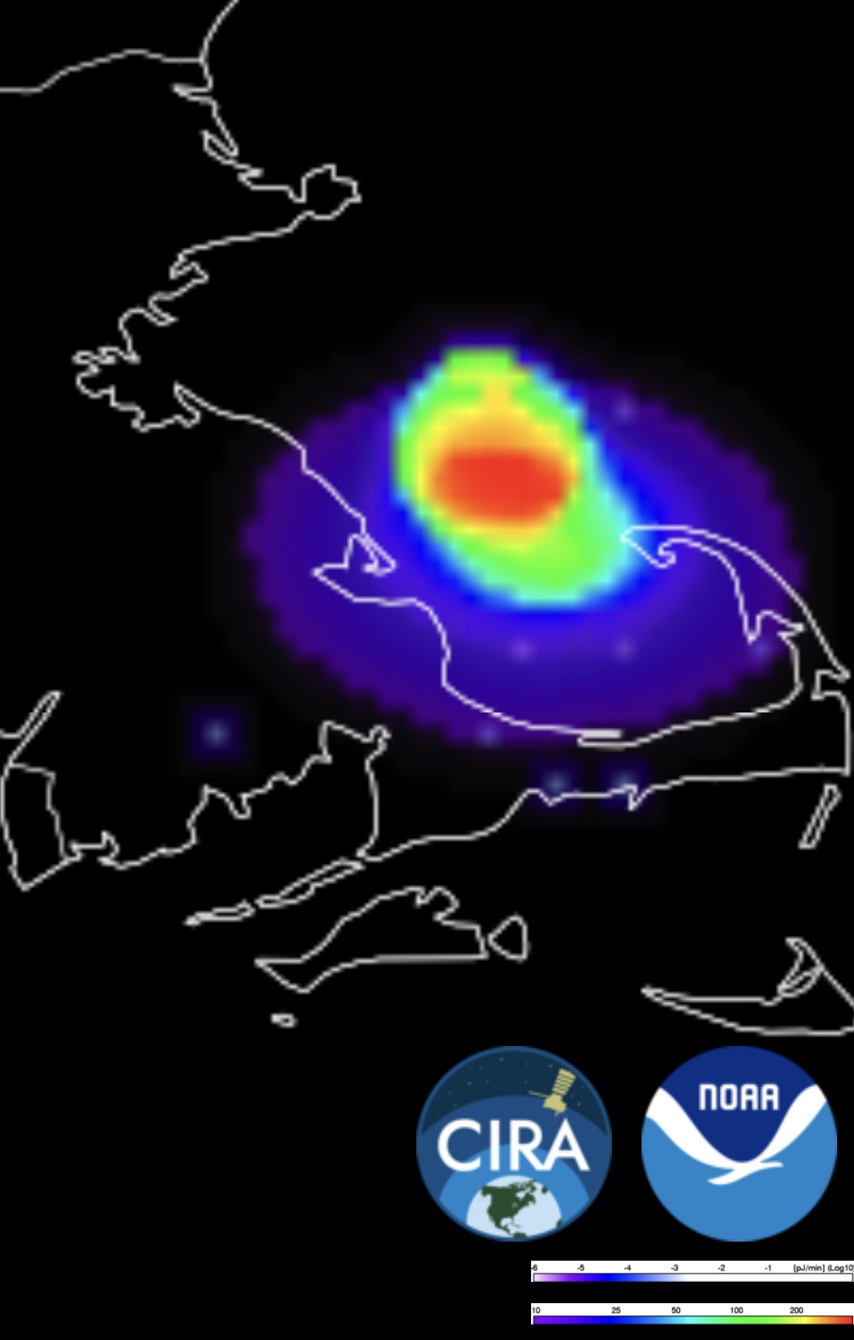
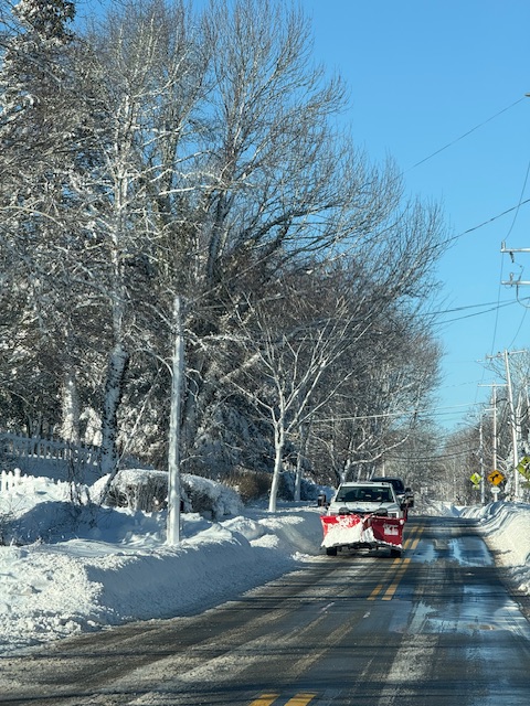
Have been without power in Barnstable (Cape Cod) since 4AM yesterday. Cell service has been non-existent away from Route 28. Not being able to track radar yesterday was so frustrating. 21” here in Barnstable, but measuring in a blizzard is never easy. Can’t wait to chow down on +50 pages of event observations tonight.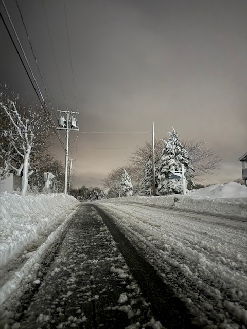
-
Best I can do for you is 15.3” COCORAHS report from this morning for Taunton. 21” here in Centerville, Barnstable (pretty challenging to measure so +/- a few inches on either side). No power, no cell service since 5AM yesterday. Need to drive on Route 28 for cell service to improve. While we are on the topic, pet peeve is Broadcast stations using reports form 2PM yesterday for their snowfall graphics.