

dryslot
-
Posts
62,800 -
Joined
-
Last visited
Content Type
Profiles
Blogs
Forums
American Weather
Media Demo
Store
Gallery
Everything posted by dryslot
-
I'm not sure how they are coming up with the areas and where the data source's are coming from.
-
Damn close on totals here, 74.6" on that map, I had 72.9".
-
Yeah, I think so, If not, I can find a better one quite easily with minimal travel.
-
Missed on the big December snow last year but ended up with an avg winter, Depending on ENSO, We should be ok again this year.
-
Mine is toast, Back to back high 20's.
-
1938
-
Good luck.
-
Cold weekend on tap.
-
She gone.
-
Yes, They had got another foot.
-
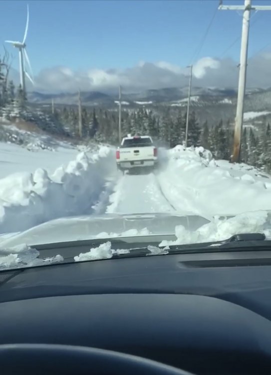
Yes, Definitely doesn't get picked up on radar, Your not kidding about a cabin up there, , Buddy of mine works on the turbines, This was May 8th this year.
-
It is as you head towards the border out of town.
-
Seeing some of the depth of the pack when i'm out riding, I would want to be in that Rangeley corridor or NW of it.
-
What bad memories that winter.
-
If this was the Euro of yore, There would be 200 in this thread right now.
-
Ha ha
-
So are you wearing sucker on the front or the back of the jacket or both? lol
-
We should be all set, He doesn't snowmobile so we don't have to worry about him killing winter off by buying a new sled.
-
Euro better get its shat together this winter in a longer wave pattern.
-
Don't do it.
-
Getting stuck is half the fun................
-
Ha, I know i would just pick up a plow truck, But then again i have ran heavy equipment before and i would have fun playing around every storm.
-
Most up here in the Rangeley/Eustis as well as the Northern Maine area all have secondary trucks or plows and take care of there own, Plowing really raises hell on a truck and was the reason why i never put one on my Duramax, But you can pick up a good older used one to do just that to maintain the driveway road worthy or not, He will figure it out but from the sounds of it, He's dealing with a lot of snow annually, Great problem to have ha ha.
-
I was going to suggest to him to find an old beater with a plow plus a mid size tractor with a bucket but i didn't know how much of the time he is going to be there, It will pretty much snow everyday there during the winter so if its the 2" threshold, That will end up rivaling the heat bill...............
-
Tell the plow guy to push the first one back to the base of Mt Crescent, That should give you plenty of room.............


