

cheese007
-
Posts
1,637 -
Joined
-
Last visited
Content Type
Profiles
Blogs
Forums
American Weather
Media Demo
Store
Gallery
Everything posted by cheese007
-
March 2nd Moderate Risk ArkLaTex
cheese007 replied to Ed, snow and hurricane fan's topic in Central/Western States
Lots of 80-100mph gusts in the line geeze -
March 2nd Moderate Risk ArkLaTex
cheese007 replied to Ed, snow and hurricane fan's topic in Central/Western States
Metroplex dodging a bullet given what's going on in east TX -
March 2nd Moderate Risk ArkLaTex
cheese007 replied to Ed, snow and hurricane fan's topic in Central/Western States
Weather service thinks DFW mostly free of severe weather through 5PM -
March 2nd Moderate Risk ArkLaTex
cheese007 replied to Ed, snow and hurricane fan's topic in Central/Western States
70/30 Tor, 70/60 wind, 70/70 hail probs -
March 2nd Moderate Risk ArkLaTex
cheese007 replied to Ed, snow and hurricane fan's topic in Central/Western States
Day-before-the-day seems to have been the play these last few years -
March 2nd Moderate Risk ArkLaTex
cheese007 replied to Ed, snow and hurricane fan's topic in Central/Western States
Latest from FWD. They seem skeptical of storms forming ahead of the line and are talking about our old friend VBV limiting Tor potential. Bolding is mine Concerning the severe weather threat(s): The primary threat early in the event will be large hail due to steep lapse rates and strong bulk shear and a more isolated convective/supercellular mode. Once the convection congeals into a line the threat will shift to primarily damaging winds with brief/embedded tornadoes. It should be noted that the tornado threat appears less impressive than prior model runs. One thing about the synoptic setup that is not favorable for tornadoes is the flat/zonal 850mb pattern across the southeastern US. A more favorable tornado setup would feature ridging in this area. The implications are that this will cause the 850mb cyclone to develop eastward very rapidly, and out of phase with the main upper level trough and its forcing. As a result the low level jet will shift east into the Lower Mississippi Valley Thursday afternoon causing hodographs across North and Central Texas to lose their cyclonic shape before the forcing and boundary arrive. These more disorganized wind profiles will feature veering winds, then backing winds, and then veering winds again as height increases. While veer-back-veer profiles still can support severe weather, and even tornadoes, they don`t tend to support the strong or long-track tornadoes and can inhibit low level mesocyclone intensification for very large hail production. Still given the parameter space, we`ll need to advertise all severe hazards with this event since a brief/weak tornado is still a pretty big deal if it impacts your location regardless if it`s delivered via supercell or QLCS..jpg.864703f967ef724bebcac80939602e18.jpg)
-
News 4 saying still on the ground
-
https://kfor.com/news/local/oklahoma-severe-weather/ possible TOG on NEWS 4
-
114 MPH gust in Memphis, TX per TX Storm Chasers livestream
-
SigTor hatch added to D1
-
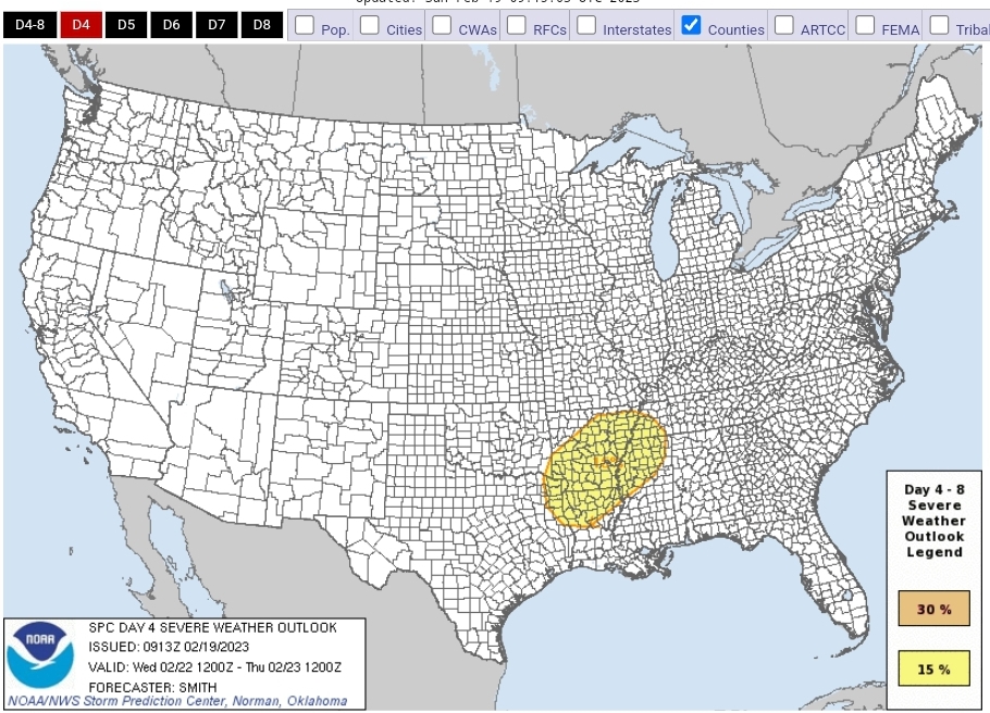
SPC 15% risk for Ark/La/Tex into northweasterm MS and far southwestern TN
-
February 15-16 potential severe weather events
cheese007 replied to DanLarsen34's topic in Central/Western States
SEL3 URGENT - IMMEDIATE BROADCAST REQUESTED Severe Thunderstorm Watch Number 33 NWS Storm Prediction Center Norman OK 345 PM CST Wed Feb 15 2023 The NWS Storm Prediction Center has issued a * Severe Thunderstorm Watch for portions of Central and eastern Oklahoma North Texas * Effective this Wednesday afternoon and evening from 345 PM until 1000 PM CST. * Primary threats include... Scattered large hail and isolated very large hail events to 2 inches in diameter possible Isolated damaging wind gusts to 70 mph possible A tornado or two possible SUMMARY...Supercell thunderstorms are expected to develop and increase in coverage over the next couple of hours. These storms will spread northeast with an attendant threat for large to very large hail and damaging gusts. A tornado or two may be possible this evening closer to the Red River. The severe thunderstorm watch area is approximately along and 60 statute miles east and west of a line from 50 miles north northwest of Mcalester OK to 15 miles southeast of Fort Worth TX. For a complete depiction of the watch see the associated watch outline update (WOUS64 KWNS WOU3). PRECAUTIONARY/PREPAREDNESS ACTIONS... REMEMBER...A Severe Thunderstorm Watch means conditions are favorable for severe thunderstorms in and close to the watch area. Persons in these areas should be on the lookout for threatening weather conditions and listen for later statements and possible warnings. Severe thunderstorms can and occasionally do produce tornadoes. && AVIATION...A few severe thunderstorms with hail surface and aloft to 2 inches. Extreme turbulence and surface wind gusts to 60 knots. A few cumulonimbi with maximum tops to 400. Mean storm motion vector 24035. ...Leitman/Thompson -
February 15-16 potential severe weather events
cheese007 replied to DanLarsen34's topic in Central/Western States
Giant ENH area for Day 2 -
Texas/Oklahoma Discussion & Obs Thread 2022
cheese007 replied to It's Always Sunny's topic in Central/Western States
Currently 30 near DFW airport and raining pretty consistently since 9AM -
Texas/Oklahoma Discussion & Obs Thread 2022
cheese007 replied to It's Always Sunny's topic in Central/Western States
Dallas and Collin added to the ice storm warning. Getting some precip as I type -
Texas/Oklahoma Discussion & Obs Thread 2022
cheese007 replied to It's Always Sunny's topic in Central/Western States
The thundersleet was quite something. Got the occasional rumble of thunder for about an hour. Even got to see one of the lightning flashes! Who knows when I'll see that again! -
Texas/Oklahoma Discussion & Obs Thread 2022
cheese007 replied to It's Always Sunny's topic in Central/Western States
Just got some thundersleet! -
Texas/Oklahoma Discussion & Obs Thread 2022
cheese007 replied to It's Always Sunny's topic in Central/Western States
Guess what got extended until 6:00 AM Thursday? -
Texas/Oklahoma Discussion & Obs Thread 2022
cheese007 replied to It's Always Sunny's topic in Central/Western States
Fwiw FWD thinks we get the bulk of our precip after midnight and throughout the day tomorrow. Getting some very light wintry mix now also EDIT: Now getting proper lught snow, already accumulating on elevated surfaces -
Texas/Oklahoma Discussion & Obs Thread 2022
cheese007 replied to It's Always Sunny's topic in Central/Western States
Not much precip wise at DFW yet but Denton getting quite the weather! -
Texas/Oklahoma Discussion & Obs Thread 2022
cheese007 replied to It's Always Sunny's topic in Central/Western States
URGENT - WINTER WEATHER MESSAGE National Weather Service Fort Worth TX 558 AM CST Mon Jan 30 2023 TXZ091>095-100>107-115>123-129>135-141>148-156>162-174-175-302000- /O.EXT.KFWD.WS.W.0001.230130T1200Z-230201T1200Z/ Montague-Cooke-Grayson-Fannin-Lamar-Young-Jack-Wise-Denton-Collin- Hunt-Delta-Hopkins-Stephens-Palo Pinto-Parker-Tarrant-Dallas- Rockwall-Kaufman-Van Zandt-Rains-Eastland-Erath-Hood-Somervell- Johnson-Ellis-Henderson-Comanche-Mills-Hamilton-Bosque-Hill- Navarro-Freestone-Anderson-Lampasas-Coryell-Bell-McLennan-Falls- Limestone-Leon-Milam-Robertson- Including the cities of Bowie, Nocona, Gainesville, Sherman, Denison, Bonham, Paris, Graham, Olney, Jacksboro, Decatur, Bridgeport, Carrollton, Denton, Lewisville, Flower Mound, Plano, McKinney, Allen, Frisco, Greenville, Commerce, Cooper, Sulphur Springs, Breckenridge, Mineral Wells, Weatherford, Briar, Fort Worth, Arlington, Dallas, Rockwall, Heath, Terrell, Kaufman, Forney, Canton, Grand Saline, Wills Point, Van, Edgewood, Emory, East Tawakoni, Point, Cisco, Eastland, Ranger, Gorman, Stephenville, Dublin, Granbury, Oak Trail Shores, Glen Rose, Cleburne, Burleson, Waxahachie, Ennis, Midlothian, Athens, Gun Barrel City, Comanche, De Leon, Goldthwaite, Hamilton, Hico, Clifton, Meridian, Valley Mills, Hillsboro, Corsicana, Teague, Fairfield, Wortham, Palestine, Lampasas, Copperas Cove, Gatesville, Killeen, Temple, Fort Hood, Waco, Marlin, Mexia, Groesbeck, Buffalo, Centerville, Jewett, Normangee, Oakwood, Cameron, Rockdale, Hearne, Franklin, and Calvert 558 AM CST Mon Jan 30 2023 ...WINTER STORM WARNING NOW IN EFFECT UNTIL 6 AM CST WEDNESDAY... * WHAT...Mixed precipitation, primarily in the form of freezing rain and/or sleet is expected. Total ice or sleet accumulations between one tenth and one half of an inch are possible. * WHERE...All of North Texas and western Central Texas. * WHEN...Until 6 AM CST Wednesday. * IMPACTS...Significant impacts to travel may begin as early as Monday afternoon and continue through at least Tuesday night. Elevated surfaces such as bridges and overpasses will likely be the first to become icy, slick, and hazardous as temperatures hover around or below freezing. PRECAUTIONARY/PREPAREDNESS ACTIONS... If you must travel, slow down and use extreme caution particularly when approaching bridges and overpasses. Keep an extra flashlight, food, and water in your vehicle in case of an emergency. The latest road conditions for Texas can be found at drivetexas.org. && $$ -
Texas/Oklahoma Discussion & Obs Thread 2022
cheese007 replied to It's Always Sunny's topic in Central/Western States
Was shocked to see the winter storm watch. Guess I'll be needing to change up some plans this week! -
Texas/Oklahoma Discussion & Obs Thread 2022
cheese007 replied to It's Always Sunny's topic in Central/Western States
Snow starting to mix in with rain at DFW -
Texas/Oklahoma Discussion & Obs Thread 2022
cheese007 replied to It's Always Sunny's topic in Central/Western States
Still 40 and raining out at DFW -
Texas/Oklahoma Discussion & Obs Thread 2022
cheese007 replied to It's Always Sunny's topic in Central/Western States
WWUS40 KWNS 241647 WWP7 TORNADO WATCH PROBABILITIES FOR WT 0027 NWS STORM PREDICTION CENTER NORMAN OK 1045 AM CST TUE JAN 24 2023 WT 0027 PROBABILITY TABLE: PROB OF 2 OR MORE TORNADOES : 60% PROB OF 1 OR MORE STRONG /EF2-EF5/ TORNADOES : 40% PROB OF 10 OR MORE SEVERE WIND EVENTS : 40% PROB OF 1 OR MORE WIND EVENTS >= 65 KNOTS : 20% PROB OF 10 OR MORE SEVERE HAIL EVENTS : 40% PROB OF 1 OR MORE HAIL EVENTS >= 2 INCHES : 20% PROB OF 6 OR MORE COMBINED SEVERE HAIL/WIND EVENTS : 70% && ATTRIBUTE TABLE: MAX HAIL /INCHES/ : 1.5 MAX WIND GUSTS SURFACE /KNOTS/ : 60 MAX TOPS /X 100 FEET/ : 500 MEAN STORM MOTION VECTOR /DEGREES AND KNOTS/ : 23040 PARTICULARLY DANGEROUS SITUATION : NO && FOR A COMPLETE GEOGRAPHICAL DEPICTION OF THE WATCH AND WATCH EXPIRATION INFORMATION SEE WOUS64 FOR WOU7. $$

