kdxken
-
Posts
12,525 -
Joined
-
Last visited
Content Type
Profiles
Blogs
Forums
American Weather
Media Demo
Store
Gallery
Everything posted by kdxken
-
Didn't notice it here.
-
Stupid clouds.
-
30° to 60° before noon. To the Moon Alice.
-
Yep

-
It pays to live in the clouds this time of year. Swamps no.
-
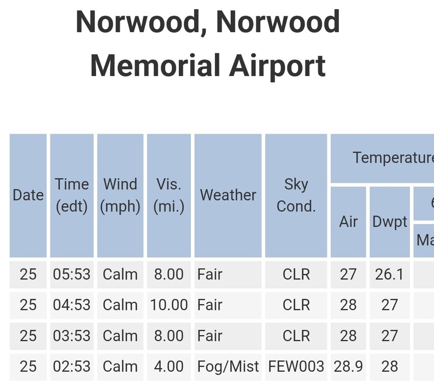
I would consider that a success.
-
Why not buy a private jet?
-
Should be good. They'll give passenger cars some leeway. Pick up trucks not so much.
-
Where are you seeing a map?
-
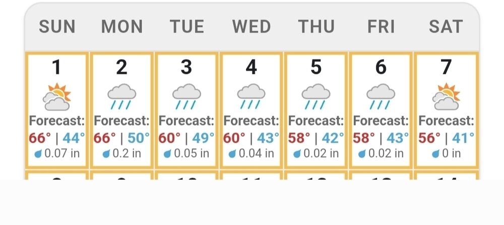
The location is 01770. Weirdly the forecast you posted has showers beginning at the same time. I don't consider showers sunny and beautiful.
-
What's this shyte? November didn't get the memo that every day is supposed to be bright and sunny.
-
Rain
-
Water dissolving and water removing . 55° bright and sunny . Same as it ever was...
-
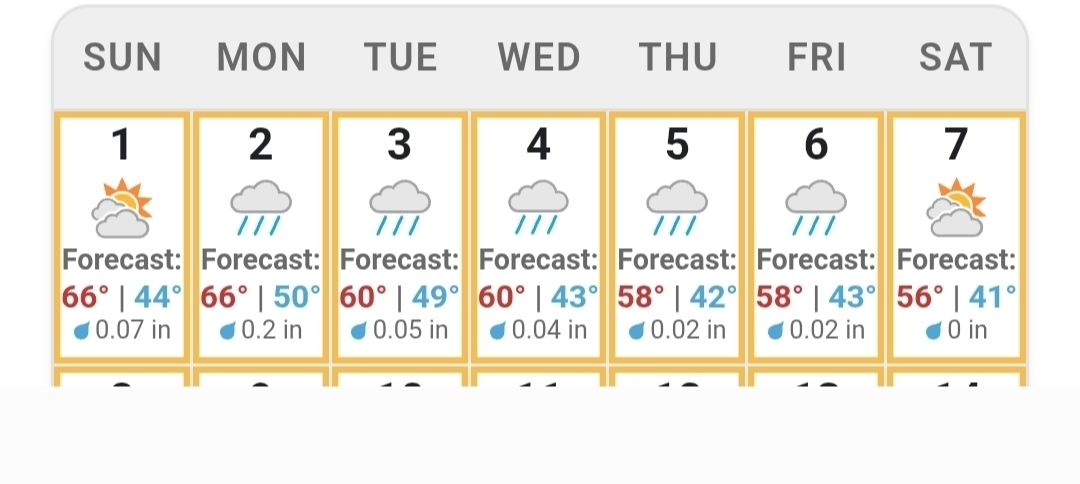
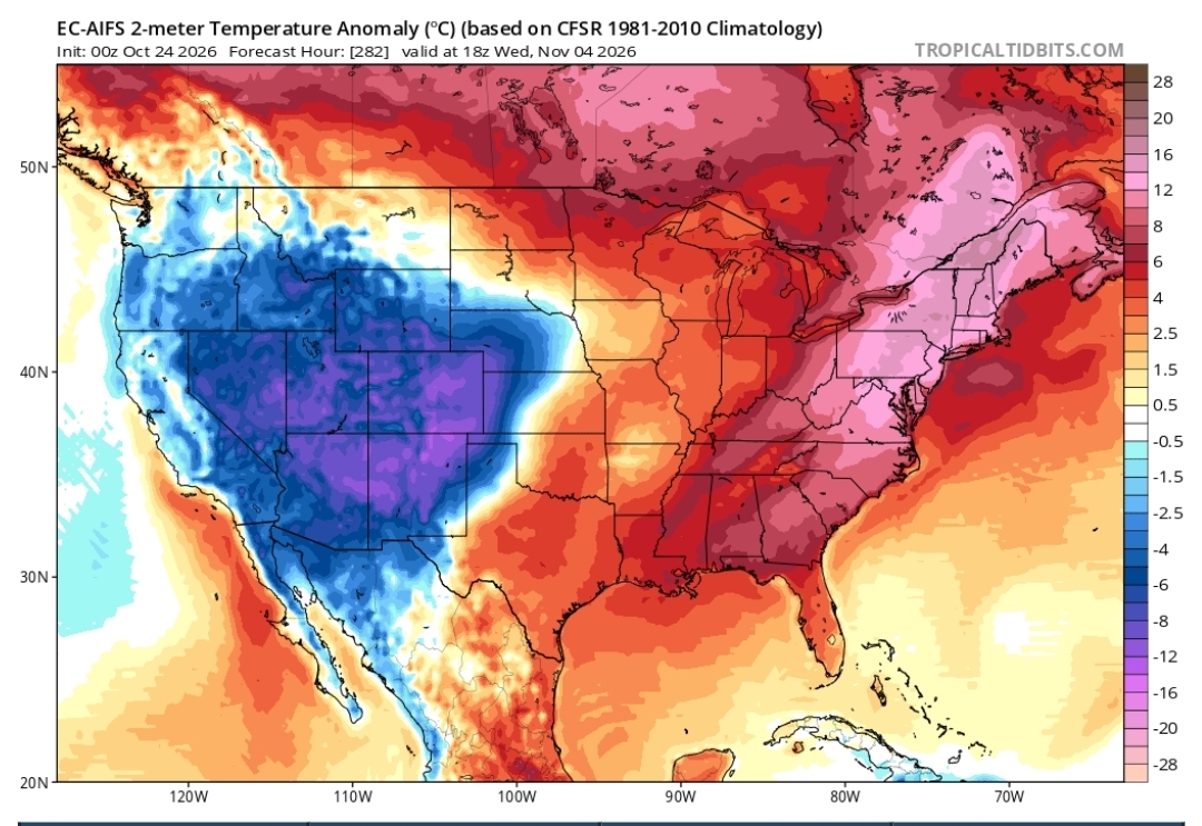
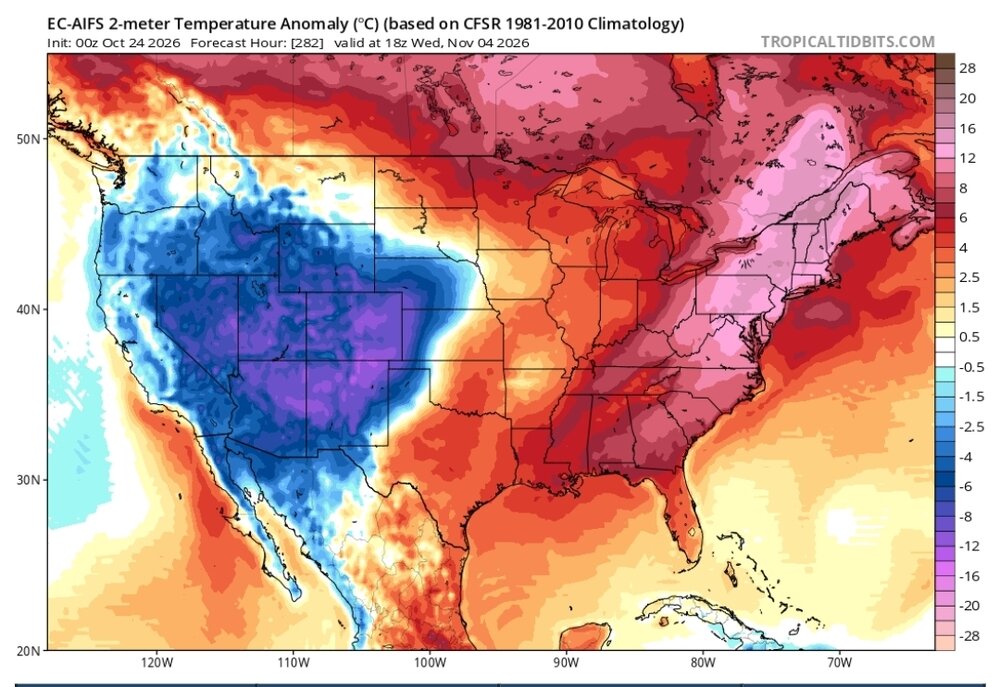
I don't know about shattered records but it looks warm. No real rain on any of the models out to 360. Let's do this...
-
27° on the dot. Not far off the coldest so far which was 26.5°
-
-
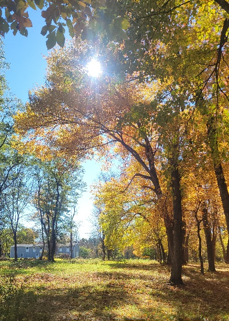
Another beauty. The beat goes on.
-
Why did you have to go an eff it up?
-
Must be nice.
-
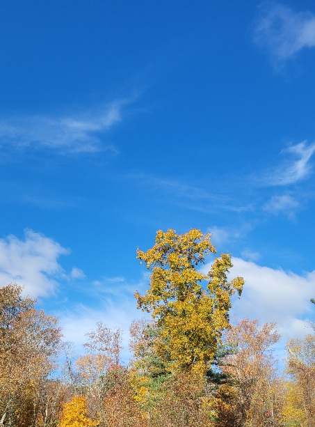
Yep, and now back to our regularly scheduled best October ever.
-
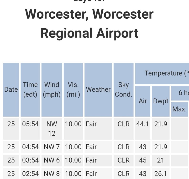
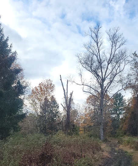
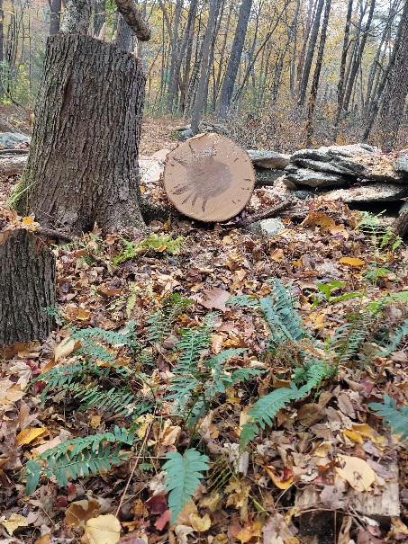
44° with a decent breeze. Beginning to look and feel like November. Only real green left in the woods is Christmas ferns and winterberry.
-
Awesome!
-
How much can you see from below the bridge?
-
Like every night.
-
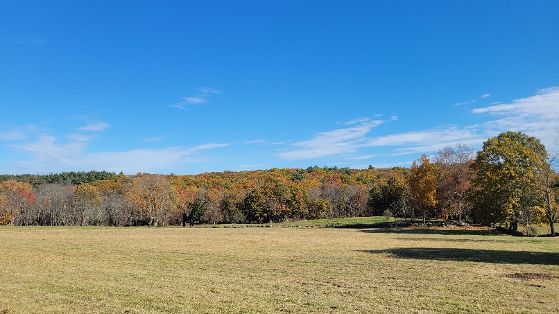
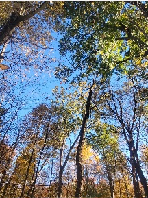
In my woods a great many leaves have fallen. Spectacular though near reservoirs or waterways still.
.jpg.ed49a75fdc0a4f0c8a1e99c5750d48d3.jpg)