

romba
-
Posts
293 -
Joined
-
Last visited
Content Type
Profiles
Blogs
Forums
American Weather
Media Demo
Store
Gallery
Posts posted by romba
-
-
1 hour ago, gravitylover said:
You obviously live a paved life
 At this point in the year a heavy wet snow will do nothing other than make mud, lots of MUD. This ruins most outdoor activities other than walking on the sidewalk (nearest one of those to me is almost 2 miles away), it wipes out the chance to get the garden going early so we can eat fresh food that's good for us and it destroys my business and puts my income off until June. If you want to see snow go find it, stop hoping for an event that will do nothing more than disrupt the lives of the other couple of million people that live in the area outside of your little Brooklyn/NYC paved and concrete world.
Don't waste negative energy concerned about other ppl's hopes.
Personally I would want every single snowstorm to dump 2 feet, get the day off from work/school and play with the kids in it, and then 80's right before and after it. And my hoping for that obviously has 0 impact on whether it happens, so why worry about what ppl like Anthony and myself want? Needless divisiveness in a world already fractured with it.
Lastly, a couple of days of 80's and sunshine would solve that mud problem fairly quickly
")
-
 2
2
-
-
4 minutes ago, NEG NAO said:
Utterly ridiculous - FIX THE MODEL PLEASE !

There’s a new algorithm to convert gfs snow totals to real world numbers- take the total and divide by 0
-
 2
2
-
-
Last night's Euro @ the tail end, take it fwiw


-
On 2/22/2020 at 8:00 AM, Hitman said:
This thread has been killing us all winter. Need to switch up the mojo. And fast.
Petition to change thread title to : Mid to Long Range (Non-Existant) Threats
-
2
-
1
-
-
Just now, Brian5671 said:
The only thing I'll say is that is within the window we have and sometimes we get a nice storm before a pattern flip to warmer.
Give me a monster blizzard followed beautiful Spring weather, yes please.
-
2 hours ago, CPcantmeasuresnow said:
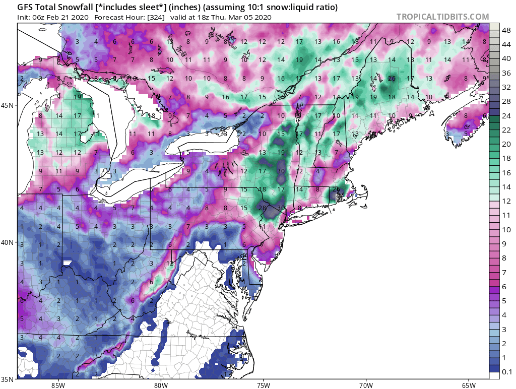
Just for laughs, the 6Z GFS this morning buries NWNJ and the HV with 30 inches of snow 12 days from now. Given the clairvoyance of the GFS long range this year start preparing now.

12Z has it too fwiw (very little). Not holding my breath.


-
2
-
-
19 hours ago, NYCweatherNOW said:
One thing I noticed some of the guys on here. If it shows warm and rain the next 15 days, we should accept it cause it’s for sure going to happen but if it’s cold and dry or cold and snowy it ain’t happening it’s 15 days away. It’s kinda biased and annoying for anyone reading through!
Anyway it’s 36 and cold in midtown feels like February just doesn’t look like it
I hear what you're saying, but this season when the models say wet, it verifies. When they say snow, they don't.
The models can really only be trusted as long as they don't forecast snow. @snowman19 has not only hacked the models, he's managed to hack the Pacific AND the Atlantic as well
-
We either have an early strong phase and get cutters to freakin Alaska, or we have kickers OTS. Sometimes when the Models are transitioning from one to the other we get what the GFS showed at 12 days away. But fear not, this will correct shortly!
We just can't thread the needle this year.
-
1
-
-
12 hours ago, NEG NAO said:

Oh look another head fake potential coastal turned cutter. Let's discuss that instead lol
-
1
-
1
-
-
Warm and wet winter. Sounds like lots of Mosquitoes anticipated for this summer, wonderful.
-
1
-
-
8 minutes ago, LibertyBell said:
what was the reason given for this so-called "upgrade" and why cant they just roll back to the previous version?
That would be acknowledging a waste of tax dollars and time and therefore a loss of potential future funding. Instead they'll likely try to find some simple fix as to the reason and just patch it up, and then patch it up, and patch it up and eventually we'll get back to where we were two years ago with an even larger waste of time and money having been accrued.
I'm super cynical when it comes to government funded agencies and projects (and even more cynical of privately run ones lol)
-
1
-
-
They need to stop call them upgrades and call them updates or adjustments. Because some of these recent 'upgrades' (GFS, Euro too I've heard) are clearly downgrades in overall ability to predict weather outcomes.
-
1
-
-
Need at least 3 major models showing the same snowfall outcome within 4 days to even consider it happening. Years past, one of them could catch on early and lead the way and the others would soon follow suit.This winter the only way that happens is if the one outlier shows less cold/snow, then all others rush to get in line like a fat man at an all you can eat buffet. Every single model correction has been to less snow, no reason to start doubting it now.
TLDR:
Weather Models this winter:
More snow? GTFOH
LESS snow? NOW we're talkin!
-
32 minutes ago, MJO812 said:
Check out the cmc
You might have been looking at last night's run
-
5 minutes ago, snowman19 said:
Everything has trended badly for us since the beginning of December. Really right after that minor snow event at the beginning of the month, things started to go to very badly and they never came back again. I’m seeing some posts on social media about pattern flips “after mid-February”...I’ll believe it when I see it, I very seriously doubt some miracle end of February or March winter comeback
If I see one more mention of an oncoming pattern-flip I'm gonna pattern-flip lol
-
1
-
1
-
-
3 minutes ago, snowman19 said:
Saturday night and Sunday look less impressive with each model run as well
Every correction has led to less expected frozen this winter
-
1
-
 1
1
-
-
1 minute ago, Allsnow said:
Eps mean for Saturday is 2-4 inches for the area. But I’ll believe that when I see it
EPS is clearly concerned about view count and its SM presence, needs to keep the masses reeled in lol
-
1
-
-
10 minutes ago, SnoSki14 said:
Another 80F Feb coming up?
And 40's and rain for April
-
Just now, PB-99 said:
Rain to Montreal

 Now we're talkin
-
2
-
-
-
9 minutes ago, MJO812 said:
People are already giving up on the 2nd half and March ? LOL
Lol you too were just about ready to throw in the towel after this past weekend's headfake. It can break even the most optimistic weenie. Resorting to a name change though to change our mojo though, that I approve of
-
1
-
-
1 minute ago, WestBabylonWeather said:
what's causing it though? when was the last time it happened?
Raging Pacific jet stream, or so I've been told, and this happened last year as well until March when the pattern finally shifted
-
30 minutes ago, snowman19 said:
Yep, everytime a +PNA ridge tries to form the PAC jet crashes into it and knocks it right down
This needs to be pinned. Second winter in a row of this crap. Cue the 'Oh but the second half of March looks good for a pattern change' aka more cold rain and white rain for the metro in March and April who wants that.
Summer and swimsuits at this point, let's just get it over with!
-
1
-
-
1 minute ago, MJO812 said:
They have been horrible after 5 days. Not sure what is going on with the models this winter.
No consistency within each model. Blow it all up and start from scratch. Baby steps- lick your finger and hold it up to the wind and take it from there
-
1
-


Mid to Long Range Threats
in New York City Metro
Posted
Had the Euro shown anything even close to resembling this, I'd be on it as well. But it did not, so not even looking twice (.....until 18z of course)