

romba
-
Posts
293 -
Joined
-
Last visited
Content Type
Profiles
Blogs
Forums
American Weather
Media Demo
Store
Gallery
Posts posted by romba
-
-
I think the Para GFS has had more head-fakes than the original.
-
 1
1
-
-
2 minutes ago, MJO812 said:
Back to tracking once again
Nice highs showing up to the north. Models are a mess right now figuring out the pattern.
Too often those HPs slowly back off and we get Cut
-
2 hours ago, MJO812 said:
Models starting to catch on to the vortex getting attacked ?


Euro with a nice track, weak on precip:


-
At least we don't have 3 inches of salt accumulating on bone dry surfaces that you can taste whenever there's the slightest breeze outside. It's the little victories these days.
-
 1
1
-
-
I’m probably totally off base here, but where were these studies when we were buried under snow year in and year out just a few years back? Increased water temps lead to more snow and amped systems, until it doesn’t and then the increased warmth leads to warmth and no snow.
I’m not familiar with the research, but it just seems to match whatever temporary cycle we currently are in, which is a huge issue in general with data and research nowadays.
-
 1
1
-
-
6 minutes ago, Brian5671 said:
Give me one or two of these tracks later in winter and we'll all be happy....
We've had a few the past few years at the peak of winter, it just hasn't worked out. Alot of 'surface reflectivity not matching the upper levels' and 'precip field is catching up to the changes aloft' that never manifested.
OTOH, during our feast years I remember a number of coastal huggers bombing off and producing solid snow for the coast.
-
3 hours ago, Neblizzard said:
Models can’t be trusted 24 hours out let alone 15 days out. It’s amazing you always post when they show an unfavorable solution for snow. The models are finally predicting warming closing in on the polar stratosphere . If the PV stretches then cold air can plunge south mid-late December into January for the east.
True, but a bit hyperbolic. 48 hours you tend to get a solid picture of even the more complex systems. At 72 hrs most models are close enough to each other to know a real risk or not. But anything more than that is just popcorn fodder.
-
5 minutes ago, Allsnow said:

-
1
-
1
-
-
84 hr 18z NAM


-
1
-
2
-
 2
2
-
-
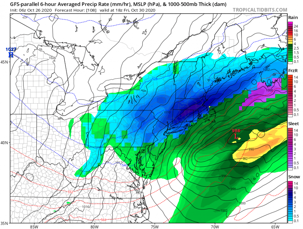
12Z Euro with a pressure drop of 12 mb in 6 hours


-
1
-
-
15 minutes ago, Juliancolton said:
Wonderful morning. 1.4" new with ongoing light snow - more just up the hill from me, where roads turned slushy. I had my doubts early this morning when temps were holding steady in the upper 30, but the models handled the CAA and dynamic cooling well
2 minutes ago, Snowlover11 said: . what a s***y morning. cold as hell and raining. 37 and rain, while 20-30 miles north is getting dumped on.
 winter ova.
Our forum in a nutshell the past 3+ years
-
3
-
2
-
-
1 minute ago, Snowlover11 said:. what a s***y morning. cold as hell and raining. 37 and rain, while 20-30 miles north is getting dumped on. winter ova.
define 'dumped on' lol
-
https://www.washingtonpost.com/weather/2020/10/28/hurricane-zeta-track-louisiana/
Flight-level winds during a midafternoon Hurricane Hunter reconnaissance flight hit 138 mph; extrapolated down to the surface, that would suggest 101 mph winds at the surface. A dropsonde, or probe, released shortly after found a surface wind of 115 mph in the southern eyewall. That would indicate Zeta is near or at major hurricane status.
The National Hurricane Center did not upgrade Zeta in their most recent advisory, raising the potential that the measurement was suspect. Regardless, Zeta continues to increase in strength and could approach Category 3 intensity as it makes landfall.
NHC: 115 mph winds? Naaahhh, we toss
-
1
-
-
15 minutes ago, North and West said:
Doesn't it seem a tad early to be spiking the ball on this? I know everyone likes to call something and be correct about it, but it seems way too early to be right. Then again, 50/50 chance.
After the past few winters in the city he's allowed some healthy cynicism even if it is a tad early.
-
1
-
-
2 hours ago, Ericjcrash said:
Lmao

-
1
-
-
Hey guys maybe some pros can help me out, my tidbits feed seems stuck from last winter. (I haven't used it since then).The dates have been updated but GFS is showing the same day 15 snowstorm. This has been happening for like 3 years now. I tried restarting in safe mode, didn't work. Ideas?
-
1
-
2
-
-
Pings in Brooklyn, lmao more frozen at 44 at the end of April then at 37 in February
-
38 minutes ago, MJO812 said:
Are you looking at the models ?
He's unfortunately right. It's inevitable this year. The 'threat' for next week is slowly whittling to white rain or plain rain as well on the GFS.
-
I'm assuming they've already laid 2 feet of salt in anticipation of next weekend's nu-GFS blizzard? Love tasting it on breezy days, almost as much as I love having unnecessary CT scans just for fun
-
1
-
-
Just now, MJO812 said:
It doubled down lol
Looks like tripled lmao
-
2 minutes ago, Gravity Wave said:
lol

It keeps going and going lol.....never change nu-GPS
-
1
-
-
1 hour ago, NEG NAO said:

That's snow right? What's that guys formula to get his 6-8? Take whatever it says and multiply by 4??? *facepalm*
-
3 minutes ago, donsutherland1 said:
At present, medium-range and extended-range cold shots and snowstorms on the GFS are suspect when no other support is present.
Understatement of the century right there.
Thanks for the breakdown as always.
-
1
-
-
GFS cold bias looks to strike again. No other model's support this as far as I can tell.

CMC

EURO

-
1
-

Wintry events possible I84 corridor down to near I80 next week (14th-18th)
in New York City Metro
Posted
Canadian says No