backedgeapproaching
-
Posts
3,818 -
Joined
-
Last visited
Content Type
Profiles
Blogs
Forums
American Weather
Media Demo
Store
Gallery
Everything posted by backedgeapproaching
-

The 2020 Lesco & Lawn Thread
backedgeapproaching replied to Damage In Tolland's topic in New England
I'm also getting expanding and growing brown spots every day. Lava approved. -
The 2020 Lesco & Lawn Thread
backedgeapproaching replied to Damage In Tolland's topic in New England
Depends on the type of grass you have. Kentucky blue grass will just go dormant and then bounce back with rain and somewhat cooler temps. With fescue and perennial rye grass you could actually lose some if it stays dry long enough and hot enough. I dont know what you type you have, but I think most will bounce back. Now, if somehow July is a roaster and dry, then obviously higher likelihood of some grass not coming back. But I mean you would need almost no rain for another 3-4 weeks I think to lose amounts you would notice. -
The 2020 Lesco & Lawn Thread
backedgeapproaching replied to Damage In Tolland's topic in New England
With no rain in sight for at least a week and temps rising toward the end of the end of next week going to let my my lawn grow a little and probably cut at the highest mower setting. Most of my lawn gets 10 hours of sun, so going to try to shade out the soil a bit. -
The 2020 Lesco & Lawn Thread
backedgeapproaching replied to Damage In Tolland's topic in New England
Dropped some fert over my acre+ of lawn this evening. Solid drink as a cell just moved through to water in. We take. -
The 2020 Lesco & Lawn Thread
backedgeapproaching replied to Damage In Tolland's topic in New England
Looks good. Surprised that fescue patch has survived and looks that good in what looks like deep deep shade. -
The 2020 Lesco & Lawn Thread
backedgeapproaching replied to Damage In Tolland's topic in New England
Weather has been great, but 10 straight days of sun and no rain means my lawn is starting brown a bit in spots. 86-87F today and another wall to wall sunny day and a few more torch days to come still. I would guess by Friday lawn will be worse its looked since I moved to VT. Dont recall an almost 2 straight weeks with no rain here. -
May 8-9 mid-spring rain, snow, cold, wind obs
backedgeapproaching replied to CT Valley Snowman's topic in New England
Like Coastal mentioned, looks like they lucked out getting the deform with upslope combo. But your right, most "normal" synoptic snow events with E/Se flow Bennington VT over into Cambrige NY struggle and normally end up with lower totals. But they do sneak in some good events with blocked flow upslope. In that big NOV 2016 upslope event Shaftsbury VT had 16-20" IIRC, I had I think 8"-9" -
May 8-9 mid-spring rain, snow, cold, wind obs
backedgeapproaching replied to CT Valley Snowman's topic in New England
Damn--crushed 12" in ENY. I think ALY had 1-2" forecast there. Getting a foot when NWS call is for 1-2"--epic positive bust -
May 8-9 mid-spring rain, snow, cold, wind obs
backedgeapproaching replied to CT Valley Snowman's topic in New England
Sun peeked out just long enough to squeeze in some nice shots, some squalls going through now. -
May 8-9 mid-spring rain, snow, cold, wind obs
backedgeapproaching replied to CT Valley Snowman's topic in New England
4.1" total here, bottom couple inches pretty wet with some drier May fluff on top from this mornings upslope. -
May 8-9 mid-spring rain, snow, cold, wind obs
backedgeapproaching replied to CT Valley Snowman's topic in New England
That area can do OK at times with NW wind as the Taconics are right to their east, but that is a big precip discrepancy in all directions. But there are 4 separate reports of 8-9" in that area, so its legit. -
May 8-9 mid-spring rain, snow, cold, wind obs
backedgeapproaching replied to CT Valley Snowman's topic in New England
Yep, check out weathernet, 2 more reports of 8+ in Washington county NY -
May 8-9 mid-spring rain, snow, cold, wind obs
backedgeapproaching replied to CT Valley Snowman's topic in New England
Whoa, about 15 miles southeast of here in West Arlington VT reported almost 9". That's not some weenie elevation spot near Mitch, maybe like 300-500ft and they are always near the bottom of snow totals in SVT--impressive. Most have been some type of nice banding at some point over night. -
May 8-9 mid-spring rain, snow, cold, wind obs
backedgeapproaching replied to CT Valley Snowman's topic in New England
Probably close to Mod SN here now. May accum in the books with .4" on the board. -
May 8-9 mid-spring rain, snow, cold, wind obs
backedgeapproaching replied to CT Valley Snowman's topic in New England
34.7F mostly snow now. Interesting that east of the spine at 2k still at 38F..waiting on cold air to ooze in I guess. -
The 2020 Lesco & Lawn Thread
backedgeapproaching replied to Damage In Tolland's topic in New England
For you guys in SE MA I would check out this place. I'm not sure if they sell it in stores, but pretty sure you can buy it direct from them and pick it up in Quincy. $3.50 a bag and pretty similar to what Milorganite is. http://www.baystatefertilizer.com/ -
The 2020 Lesco & Lawn Thread
backedgeapproaching replied to Damage In Tolland's topic in New England
I've used it a good amount over the years, good thing is you can apply at any time of year, even mid summer which you wouldn't want to do with synthetic fert. Its a little cost prohibitive for me now with 1.5 acres of grass but if I had a smaller yard I would definitely look at as an option. Has some iron in there too to help with darkening and better grass color. -
The 2020 Lesco & Lawn Thread
backedgeapproaching replied to Damage In Tolland's topic in New England
I personally would hold off on the fert if you are overseeding into an established lawn, the fert will jump start the existing grass and thicken it and make it grow more quickly out competing the young grass seedling for sunlight, moisture etc. It will also make you mow more often and greater likelyhood to trample young seedlings. Would wait a couple weeks until the new grass seed emerges and is 1 or 2 inches maybe. Grass seed doesn't need any fert to grow initially, but obviously its helpful once its tillering and getting a larger root system established. -
The 2020 Lesco & Lawn Thread
backedgeapproaching replied to Damage In Tolland's topic in New England
Did a little haircut today of front lawn, not much came off, but wanted to fire up tractor. Timely fall fert app helping with green up. Shady side of lawn still waking up a bit slower. -
The 2020 Lesco & Lawn Thread
backedgeapproaching replied to Damage In Tolland's topic in New England
Just going to have to watch it going into summer, especially if its DIT special with HHH throughout. I think you mentioned being on a well, so need to watch running that dry--you most likely will need to water through summer. Fall seeding is definitely a better option if you can wait, but just make sure to not let the seed dry out if your seeding now or in fall--constantly moist. -
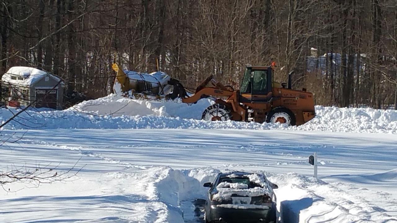
Lol...didnt realize it was that much. Thought it was in the 15-18 range. So yea, 22" works. I haven't seen that much in one event in the 5 years here in VT.
-
I went down to western Chester County for that one, hours and hours of 2" per hour rates. I think Philly itself sucked some exhaust from those suburb bands and ended up relatively screwed.

-
March 12/13/14 Blizzard/Winter Storm/WWA etc
backedgeapproaching replied to Bostonseminole's topic in New England
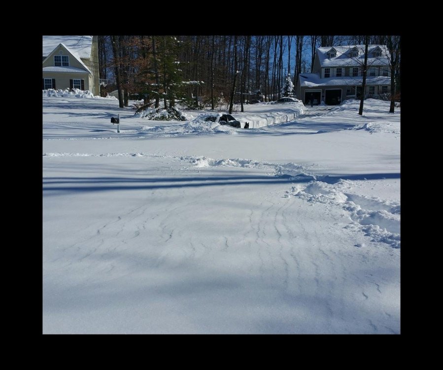
Late to the party, but just winding down up here this morning. Final is 18.4" Just about 50" for the month. -
March 12/13/14 Blizzard/Winter Storm/WWA etc
backedgeapproaching replied to Bostonseminole's topic in New England
14.5" still coming down and should for a good portion of the night. Yep, just amazing conditions right now. -
March 12/13/14 Blizzard/Winter Storm/WWA etc
backedgeapproaching replied to Bostonseminole's topic in New England
Taconics in ENY/W MA have been getting crushed with upslope most of the day. Reminds me of NOV 16 a bit, not the insane totals though as with that one I wouldn't think.