
bwt3650
-
Posts
1,621 -
Joined
-
Last visited
Content Type
Profiles
Blogs
Forums
American Weather
Media Demo
Store
Gallery
Everything posted by bwt3650
-
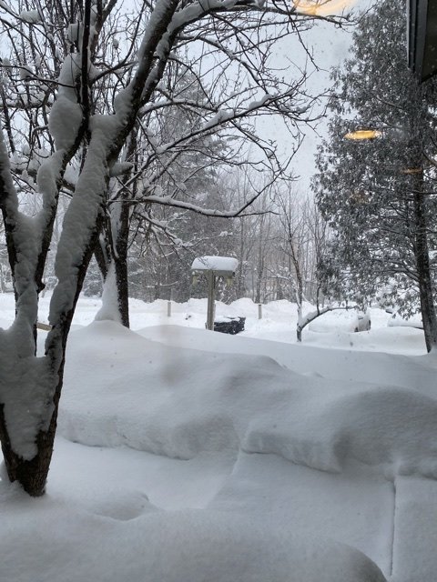
I’m hearing 9-11 back at jay this morning. Looks like a great snowy, powder day too. Should be some excellent mid-winter skiing this weekend. Anyone have the Mansfield data? Curious if they have caught up to normal yet? side note: the nne magic followed me to Jersey for these few days. 20-30 locally and a pack that’s not going anywhere fast. Roads still snow covered and light snow again this morning, making 4 straight days. Don’t ever recall that in New Jersey.
-
Yeah, that’s awesome. Mine are getting the addiction. The windchill was about -20 last Friday and they still couldn’t wait to get at it after school. It’s fun having something i love so much to share with them. skiing for gym class? I feel like I was cheated in high school now.
-
I think we do even better than that up by me. This weekend should be great powder skiing if the winds don’t get too bad. Wildcat looks like it’s going to be sweet this weekend too. You heading out?
-
I wish...the kids being back in school full time next year will cut down on the long stretches of time..it will be more long weekends and living through you guys during the week. My wife and I do a couple mid week stretches each year to get some kid free time shredding together, but no more 3 week trips. This year has been special getting so much time up here and really enjoying the area.
-
Forgot about 87 but I don’t really recall that being over a foot by me..think it was more philly south, but my memory could be wrong. It just doesn’t stand out. 93 was a little over a foot by me. Sleet killed the big totals but there was inches of sleet with that. Two feet is a lot of snow without upslope or lake effect help.
-
Southern vt looks like it’s going to get crushed for a few hours with that band.
-
There was one in 83 and I waited until I was 16 in 96 to see another...so I agree, much better in the last 10-15 years..but there are some real dud winters in there too like last year where there was nothing over a few inches. I’m just grateful to have the place up in jay now where it consistently snows and winters looks like winter. 40s and brown grass in Jan/feb is depressing.
-
That looks like it would bring the Mansfield depth pretty close to normal.
-
100 percent agree. Plus the whole mountain micro-climate and the outdoor activities in the greens. We are at around 18-20 here so far. Last time we were over 18 was 2016..too long to wait for big snows when we can see that several times a year up in northern Vermont. Still, it was cool to watch those bands sit over me for several hours. Got lucky this year on the timing. Weekend looks much better up north now too. Looks like a great mid winter period coming up.
-
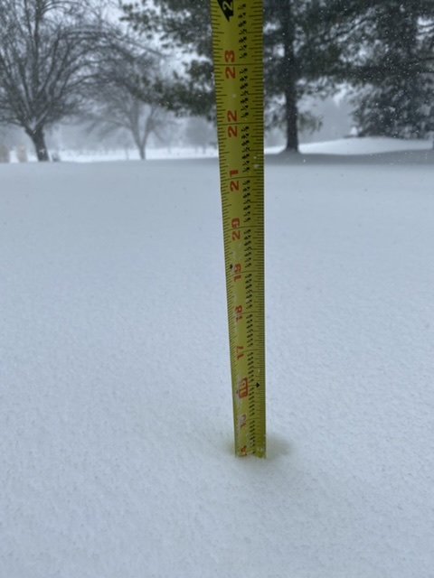
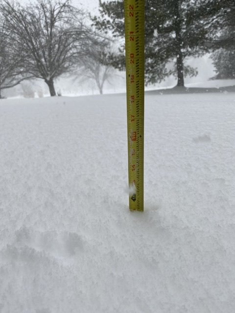
14 out there now. I know it’s not nne, but as a snow geek, you gotta love 3+ inch an hour rates.
-
Trust me..I’ll take jay’s 350” a year average over nj’s 35” a year average everyday. Still, always amazed to watch crazy snow bands unfold.
-
Yeah, I’m one of those areas..closing in on a foot already and puking snow. Close to 3” in the last hour. My place up through your old Morris county area looks like ground zero for two feet plus. NJ just told my jay spot..”I see your epic snow, hold my beer”.
-
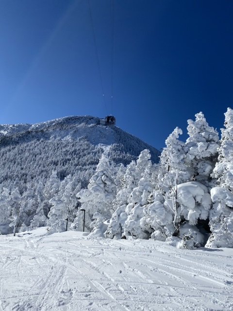
As everyone already mentioned, what an awesome day out there. The snow was in great condition and even though it was below zero when we went out this morning, it was the warmest below zero I’ve felt in a long time. Warmed quick with Calm winds and blue sky forever. Just got back to Jersey for a few days racing the snow home. Planned to be home the beginning of this week back in early January and the timing couldn’t be better. Should be a good one down here. Maybe even “epic” for Jersey standards.
-
-7 with a breeze. Has to be coldest of the season.
-
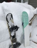
That chair spacing has to be the castle rock double.
-
Gfs looked like elevations would be ok with snow to rain to some backside upslope...didn’t see euro, but heard it was ugly. Hoping backside snows save us.
-
Yeah, mine are the same...I just don’t think they realize what it’s going to feel like. As long as they don’t let anything get exposed, they might gut it out for a bit, but I was out last weekend and Sunday was rough. Being able to ski back to the condo, I’ll let them have at it, but don’t know if I would drive any substantial distance for them to say they’ve had enough after one run. I’d probably tell them we are not leaving and wait until they look like Audrey from Christmas vacation picking out the Christmas.
-
-8...my kids have high expectations for after school today...they know how to dress for this and have solid gear, but I guess they don’t last 3 runs.
-
Don’t know what I like better; your use of the word epic, or assuring us the other day that you are no delicate daffodil or some flower like that.
-
Snow became steadier as the afternoon went on. Sneaky good day out there. Picked up about 3 throughout the day and looks good for tonight. Can feel the winds picking up.
-
I’ll take the consistency of the northern greens every day of the week. Love this climate.
-
How was wildcat under peaks? Maybe this is just a case of vail not caring about this mountain as much as others they bought. Have to think hunter and mt. Snow were what they were really after. Could also be staffing issues this year too. Tough to judge any place by this f’d up year. Hope it gets better. When I venture to nh at some point this season, I think I’m going to take the majority’s advice and try cannon.
-
About an inch over night and a mix between snow globe flakes and a steadier light snow right now. Should be snowy all day.
-
Wasn’t up on the mountain today but I’d guess we got around 3”. Probably a little better than you, but not much. Tmrw night looks decent for a quick few inches before some decent cold. Hoping the winds die down for the weekend.
-
How many runs were open? Wanted to get over there this year, but seems like nothing but problems there. Heard the views alone are worth it and some decent steeps, but not if they are going to be garbage.

