jjwxman
-
Posts
343 -
Joined
-
Last visited
Content Type
Profiles
Blogs
Forums
American Weather
Media Demo
Store
Gallery
Everything posted by jjwxman
-
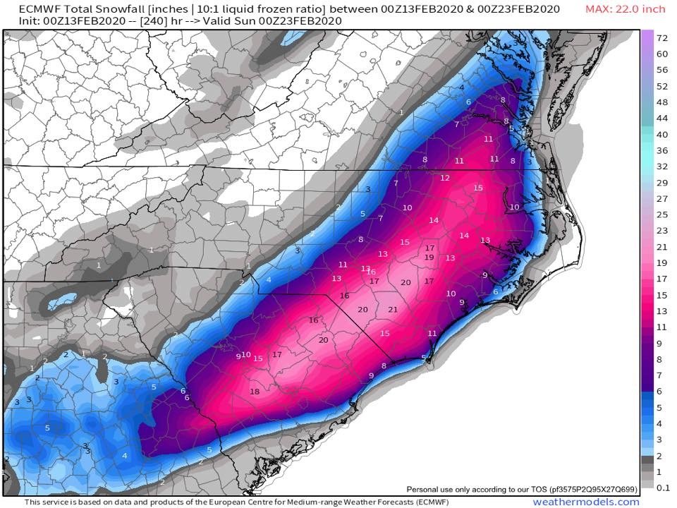
Glory hallelujah the European model finally throws us a fantasy bone.
-
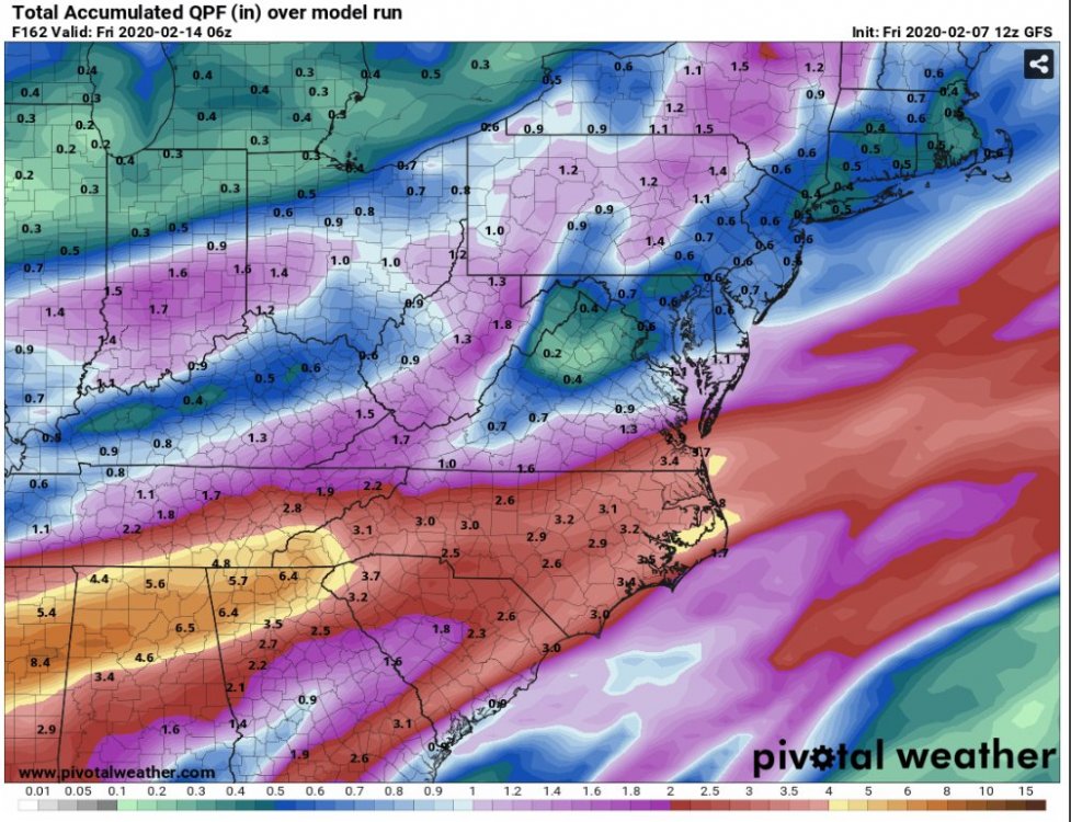
More rain basically all next week...
-
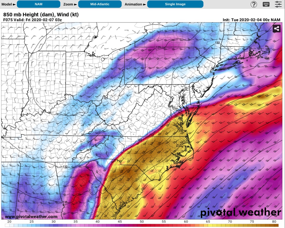
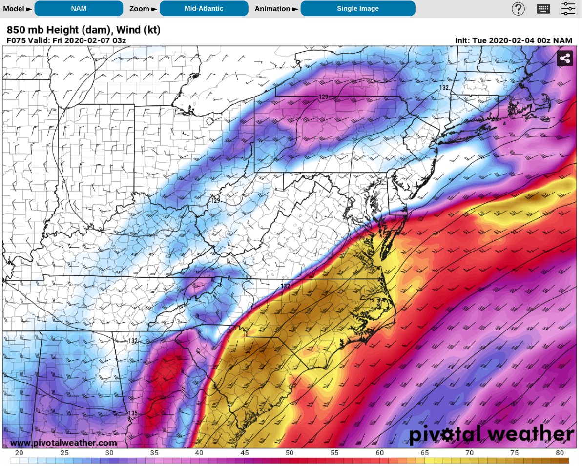
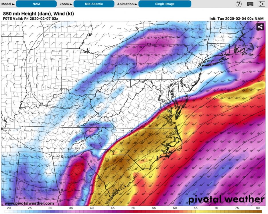
And not mention the severe threat, although probably limited due to the lack of instability, still that’s an absolutely insane boundary for Thursday evening. There will be elevated STP’s along and just south of that boundary. Possible triple point scenario over the I-85 corridor.
-
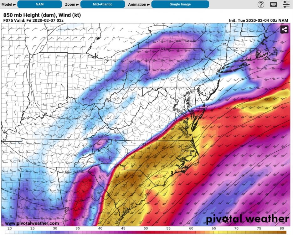
That’s one heck of a boundary for Thursday evening. Also there will be an elevated STP along the boundary. Absolutely Insane 850mb winds of 75 knots.
-
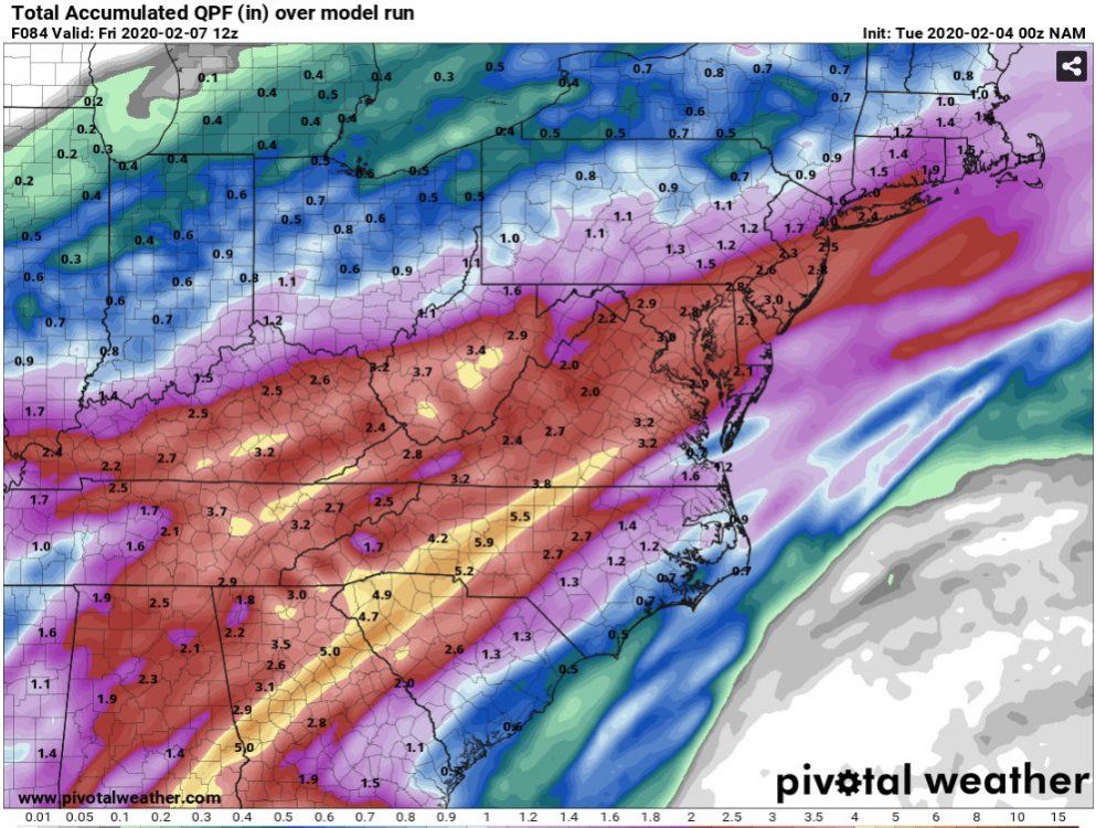
NAM’d!
-
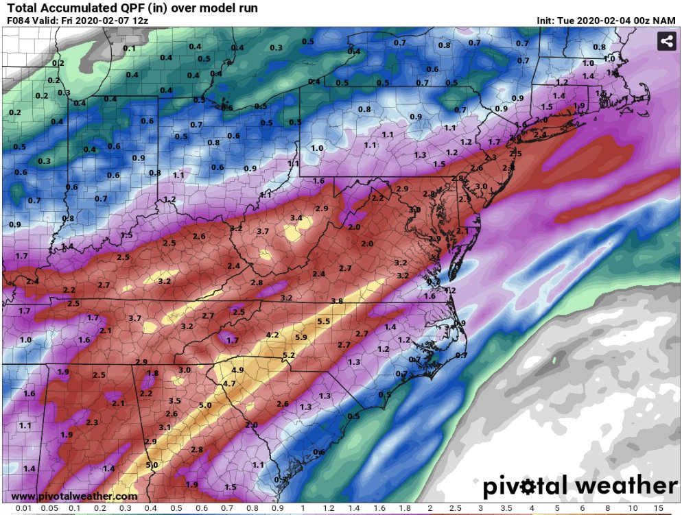
Decent hit for the I-40 / I-85 Corridor.
-
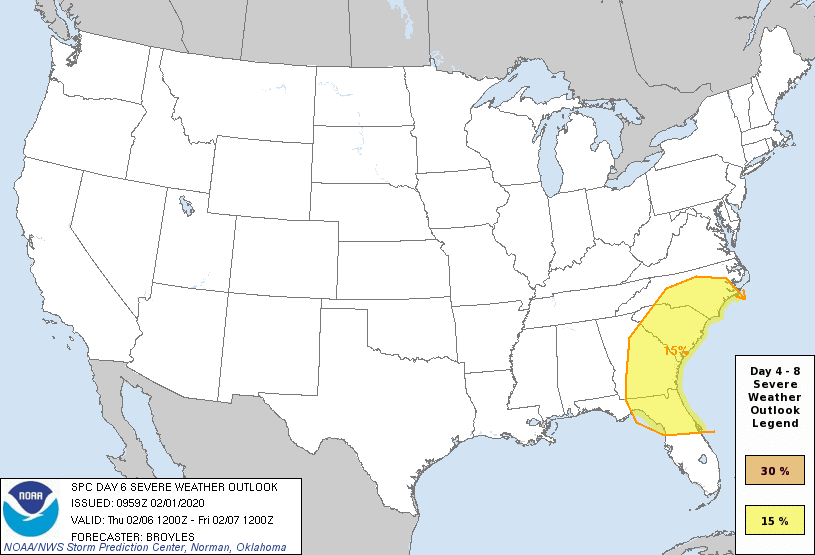
The SPC doesn’t throw out Day 6 outlooks that often. The wind shear parameters are off the charts over the region late next week.
-
Day 6 outlook from the SPC. It’s pretty rare to see the SE in a day 6 outlook, especially in February.
-
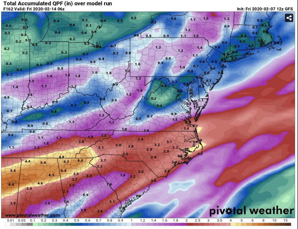
Haha... taken verbatim that’s over 2.5” of ice accrual for the I-95 corridor of NC. You guys might have power restored by... let’s say March?
-
It only takes one to forget everything around these parts!!
-
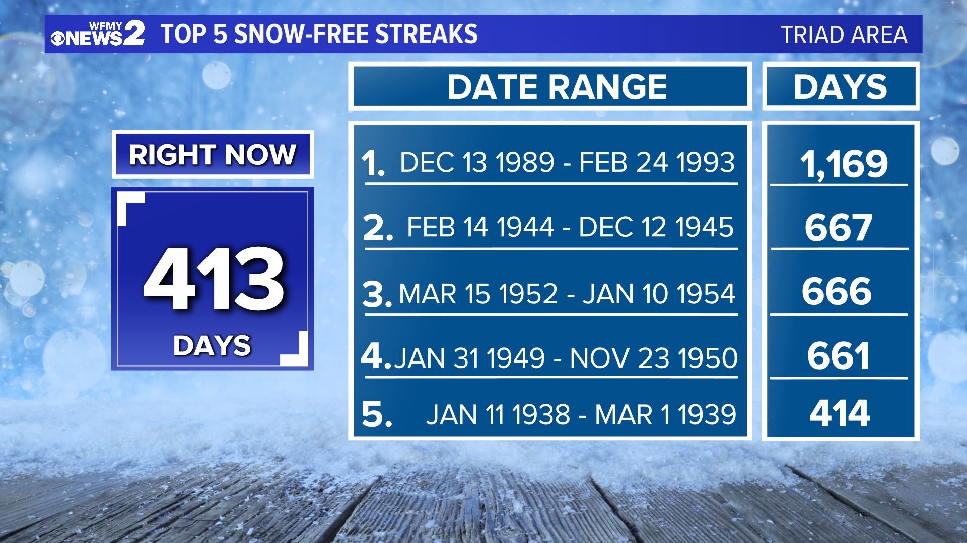
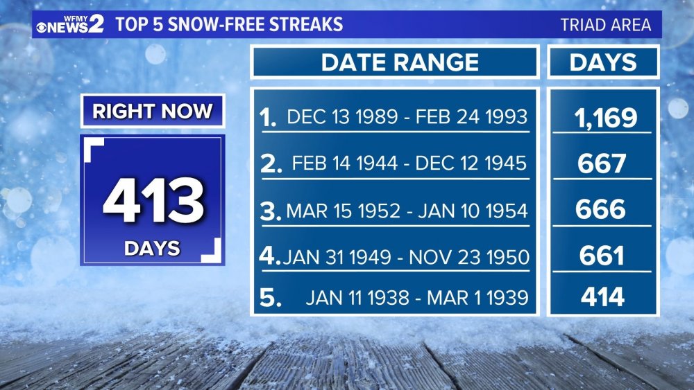
Credit: WFMY 2. This is for the GSO reporting location, we move into 5th place tomorrow. How in the heck did we survive the early 90’s... geez.
-
Here's Pivotal Weather's UKmet sounding for Saturday over GSO with total QPF of around 0.4"... so very close. This kills me.
-
Hey btw, Pivotal Weather now has UKmet maps... surface and upper air. I'm sure the free days are numbered... but maybe not?
-
The progression of next weekends storm system on the 00z GFS was very weird. At hr 138 it has the LP center just west of Tampa, FL. Then at 142 it has the LP center over Nashville, TN.
-
Both the GFS and Euro were very close to being a big event. I like where we are currently. Lots of time for adjustments... hopefully colder adjustments.
-
The 12z Euro has the storm as well. But it’s slower with the system and the warmest model right now. Lots of time for adjustments. I’m just glad we have a system all the global models are picking up on. Might be the first time this season. Lol
-
If PTI (Greensboro,NC) ends the month with no measurable snow, which is looking likely, it will be the first time we’ve gone back to back January’s without any snow since 92 & 93. Interestingly enough we all know what happened shortly after in March of 93... Hope is alive and well!! Lol.
-
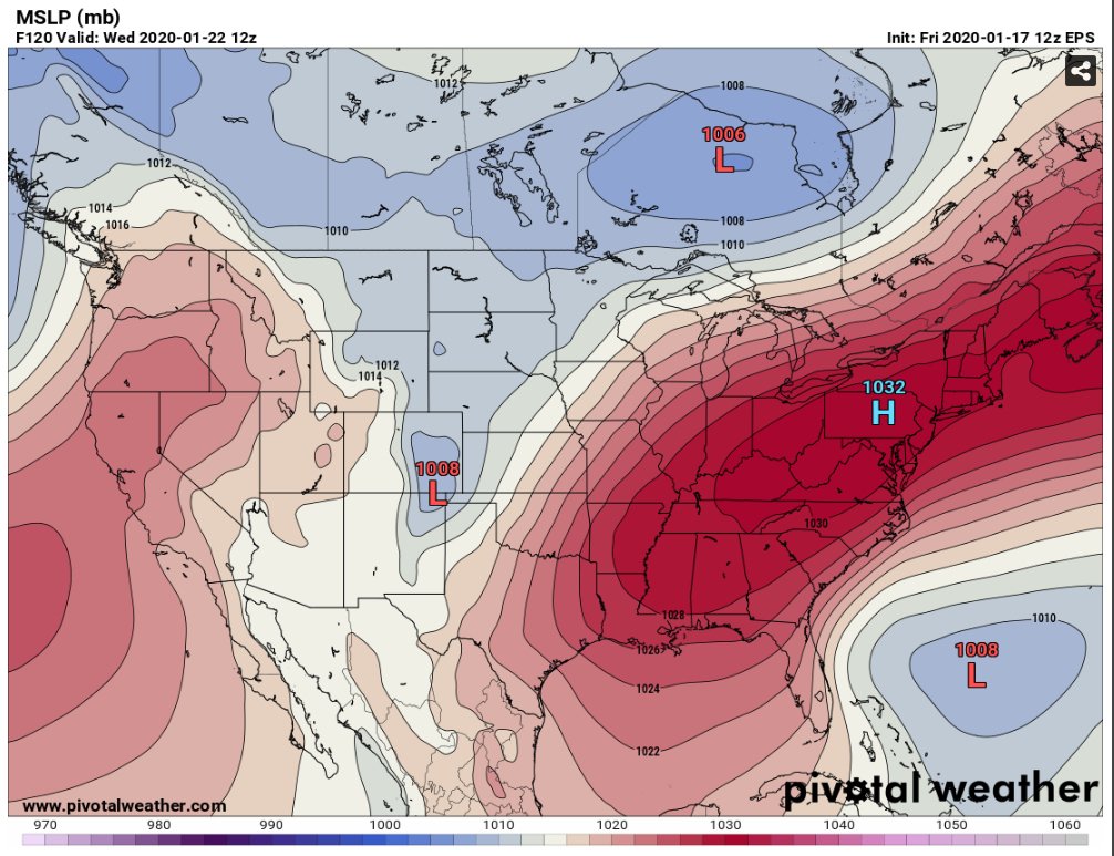
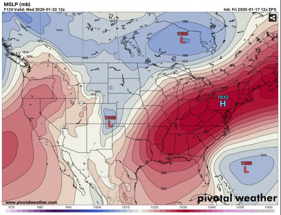
Let the NW trend commence! Almost perfect HP placement, just need the LP closer to the coast!
-
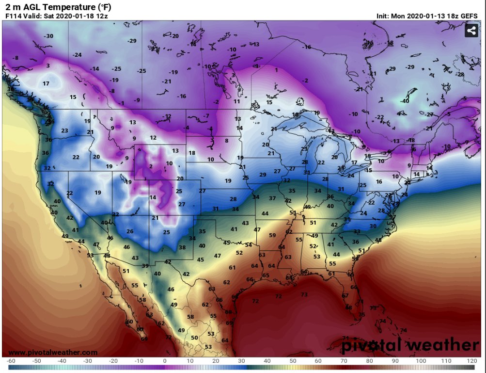
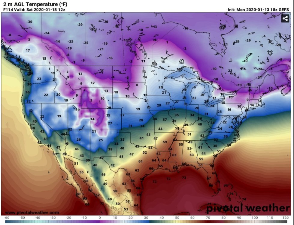
Wow, the 18z GEFS was strong on the CAD. It actually kept the favored NC western Piedmont and Foothills below freezing through 18z Saturday.
-
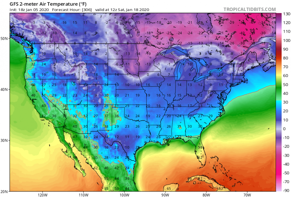
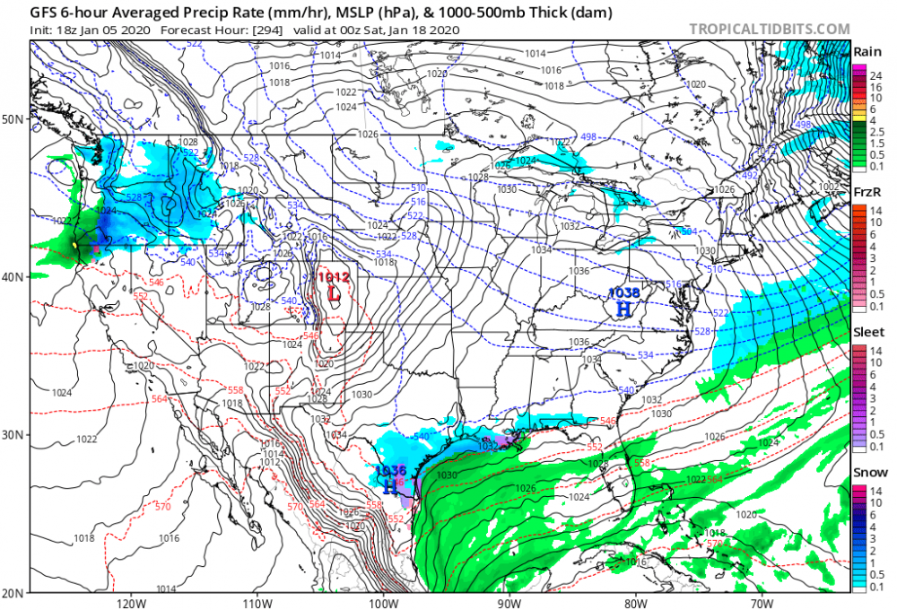
Who’s up for some front end action this weekend?.... As in frozen precipitation of course.
-
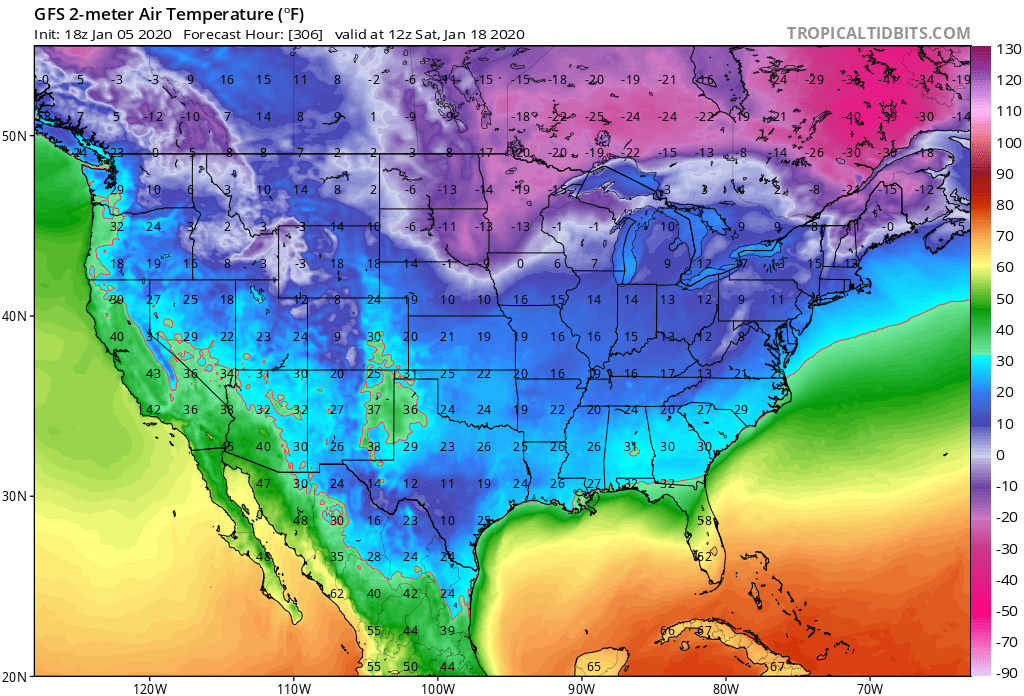
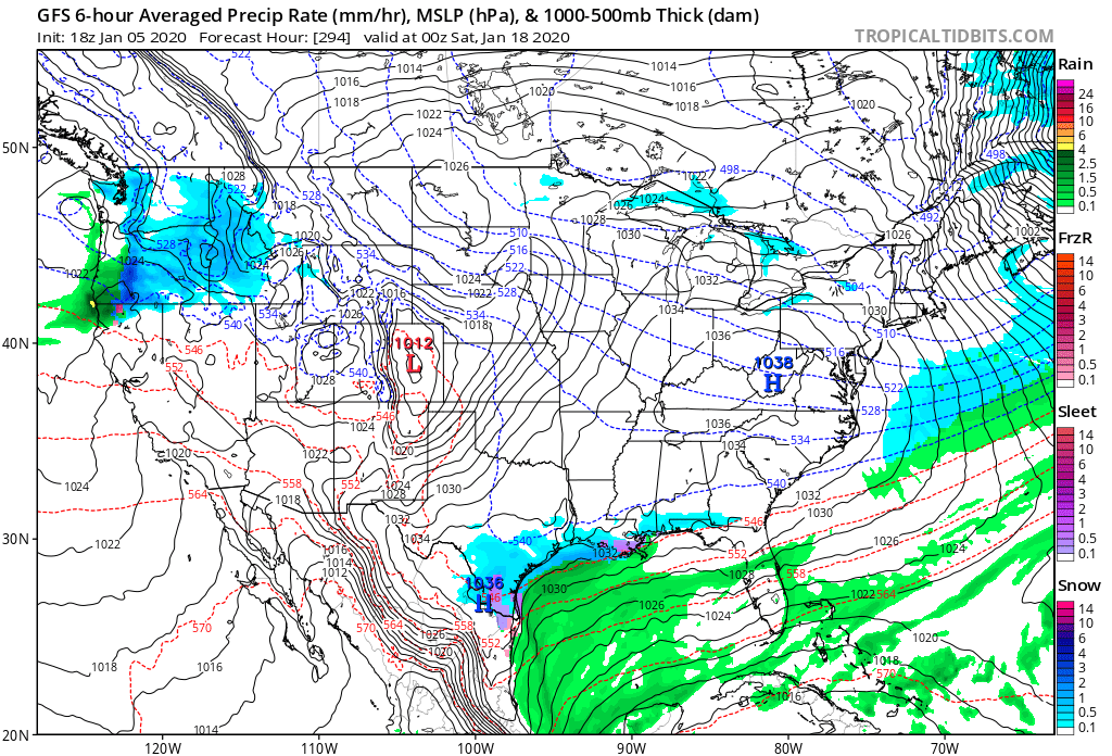
Haha... the fantasy land GFS takes the 540 line all the way to the GOM with snow from Brownsville to New Orleans... Sigh...
-
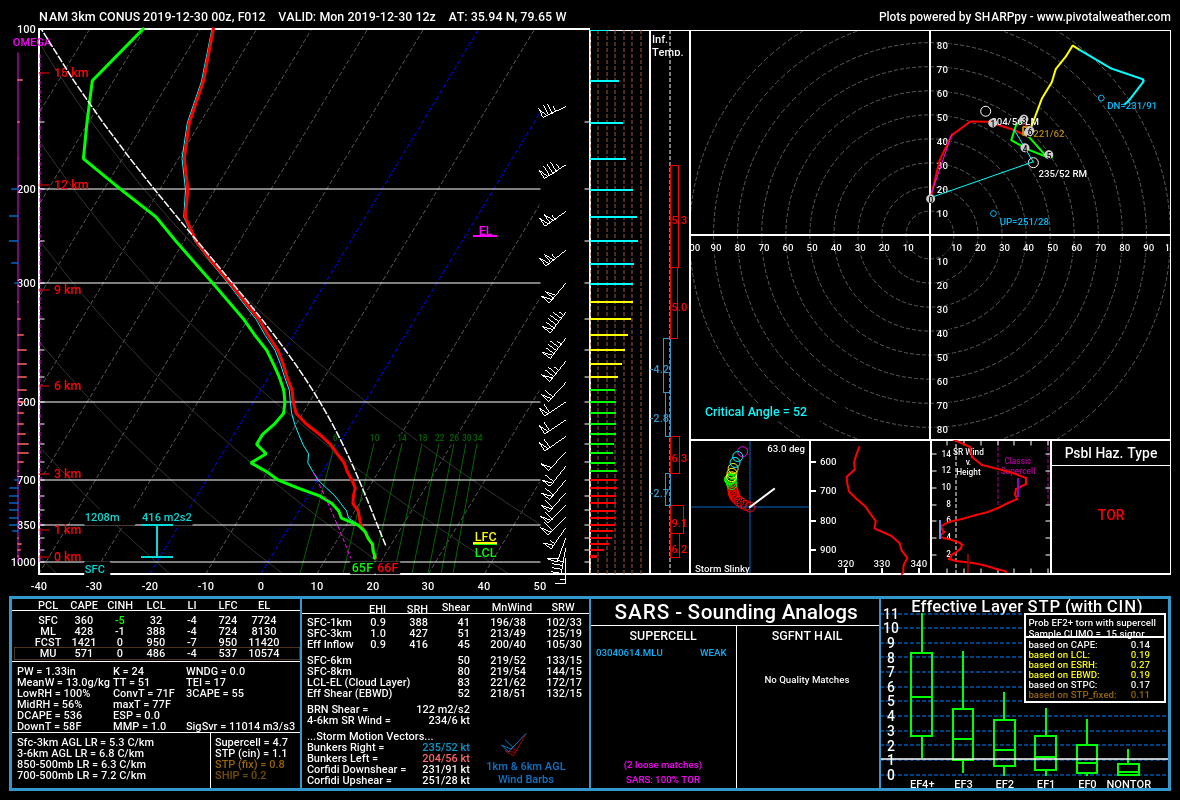
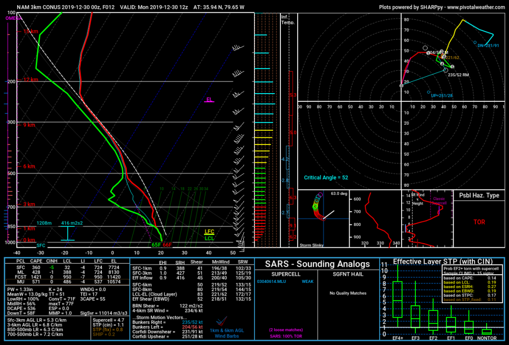
The NAM and HRRR both support an isolated severe event on Monday 12/30. Another HSLC set up. Maybe we’ll fit in one more lightning bolt to wrap up 2019.
-
Regardless, I'm not sure if I've ever seen wind speeds this high above the surface over NC. Incredible. Lots of potential, but like @downeastnc said the bust potential is high as well.
-
The word "Historic" should only be used during or after an event IMO. 4/16/11 was historic.
-
But the 12z NAM suite just made a case for the moderate risk... Geez look at those backing SE Surface winds. Increased surface cape as well, slower with the system.