

Vol4Life
-
Posts
413 -
Joined
-
Last visited
Content Type
Profiles
Blogs
Forums
American Weather
Media Demo
Store
Gallery
Everything posted by Vol4Life
-
Totally agree! No offense to the NWS, but we’ve had some of our best snow storms when there was already WSW criteria on the ground before they issued anything!
-
Where do you find access to that? And how often does it run?
-
Maybe it happens. We have seen many times where seemingly “perfect setups” go haywire. Hopefully this setup of “so you’re telling me there’s a chance” verifies.
-
Thank you for the great explanation! It will be interesting to watch over the next couple of days.
-
@Holston_River_Rambler speaking to @fountainguy97point, do you think this has a little room to come further west/NW?
-
This was copied from southeastern forum that shows the trend.
-
It wouldn’t take much of a shift to get ETN truly in the game.
-
If I’m not mistaken, this has been trending back to the west/NW, correct?
-
Radar right now doesn’t match any of the weather models I saw leading up to the event. This has been interesting so far.
-
I agree..there’s not the continuity of precip that we saw on the models. That gap in precip back in Arkansas is massive.
-
where is the southern extent of the snow now?
-
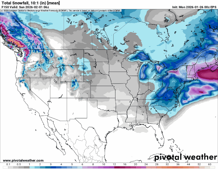
What model is that?
-
Typically this is right where we would want to be with the typical NW trend. However, knowing our luck, it will keep getting further surpressed!
-
I was just coming to this thread to post the same thing. That’s a perfect storm track
-
It also largely depends on the rate of precipitation. If it is pouring rain, it’s not going to freeze. However, if it’s light rain/sprinkles, it will freeze pretty quickly after contact.
-
That was a significant jump!
-
Yes, I think it’s starting to finally see the effects of that HP.
-
Looks like to me the Euro is trending to more of a Miller A. Granted the track isn’t great for us, but another shift to the SE, and we could be looking at a totally different scenario
-
No..not usually that I’ve seen
-
Looks like a lot of plain rain to me
-
0z GFS is rolling…
-
It’s usually amped and warm
-
Does the HP need to be a little stronger and press a little further south to keep this primarily snow?

