NorthShoreWx
-
Posts
5,532 -
Joined
-
Last visited
1 Follower
About NorthShoreWx

- Birthday 02/06/1978
Recent Profile Visitors
11,381 profile views










-
39 here this morning. Not an easy feat with nearby LIS temps in the 60s. We had no power for a week after Isaiais in 2020.
-
Strong Nor'Easter/Hybrid Storm Late September 2026
NorthShoreWx replied to Rjay's topic in New York City Metro
Most of the island was out for one to two weeks. Some mitigation. -
Strong Nor'Easter/Hybrid Storm Late September 2026
NorthShoreWx replied to Rjay's topic in New York City Metro
Hopefully. It seemed like 97-98 had more nor'easters than any other winter. -
What caused the artificial cooling at BDR?
-
Labor Day 1998 https://www.cnyhistory.org/2014/09/labor-day-storm-1998/
-
Large scale derecho look to that system currently making a mess of western NY.
-
That was one of the more spectacular forcasting fails in a while. Decided to go kayaking on the Nissy with a friend. Checked the radar and bailed after 40 minutes. Now I'm stuck drinking beer and eating pub food while I watch the torrent running down Main Street. Oh, the humanity!
-
1.31" rain here so far. 73.9/73.3, i.e., its really wet
-
There's been lots of loooong rolling thunder here for the past couple of hours, the kind from lightning that stretches 10 miles or more, but only 0.21" rain in the automated gage.
-
Might have been some breaks in the clouds to the west, but just dark, dreary and damp wall to wall here today. MaxT was 73° which is the lowest daily maxT since July 7 (max that day was 68°). I've no problem with a few days with the wx like this, but the mosquitoes are beyond ridiculous this month. Little buggers are pissing me off. It's bad when you go backpacking to get away from them.
-
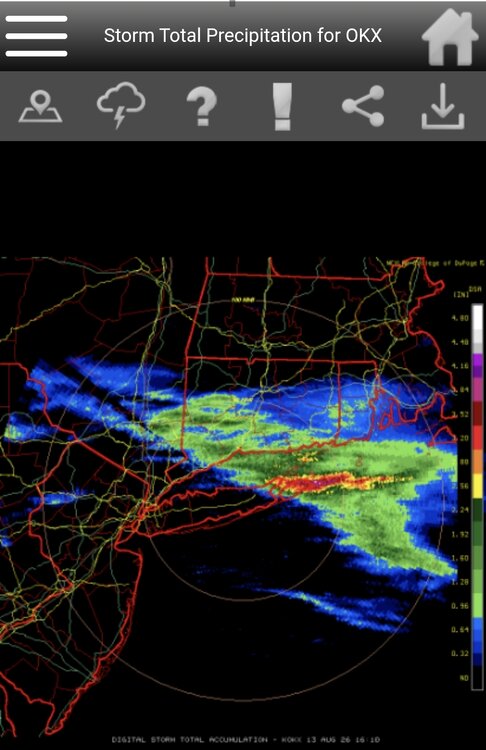
Crushed. Both forks. Heard a lot of thunder in the middle of the night here, but zero rain.
-
Quite noisy here now. Rainfall a bit mediocre. 78/72
-
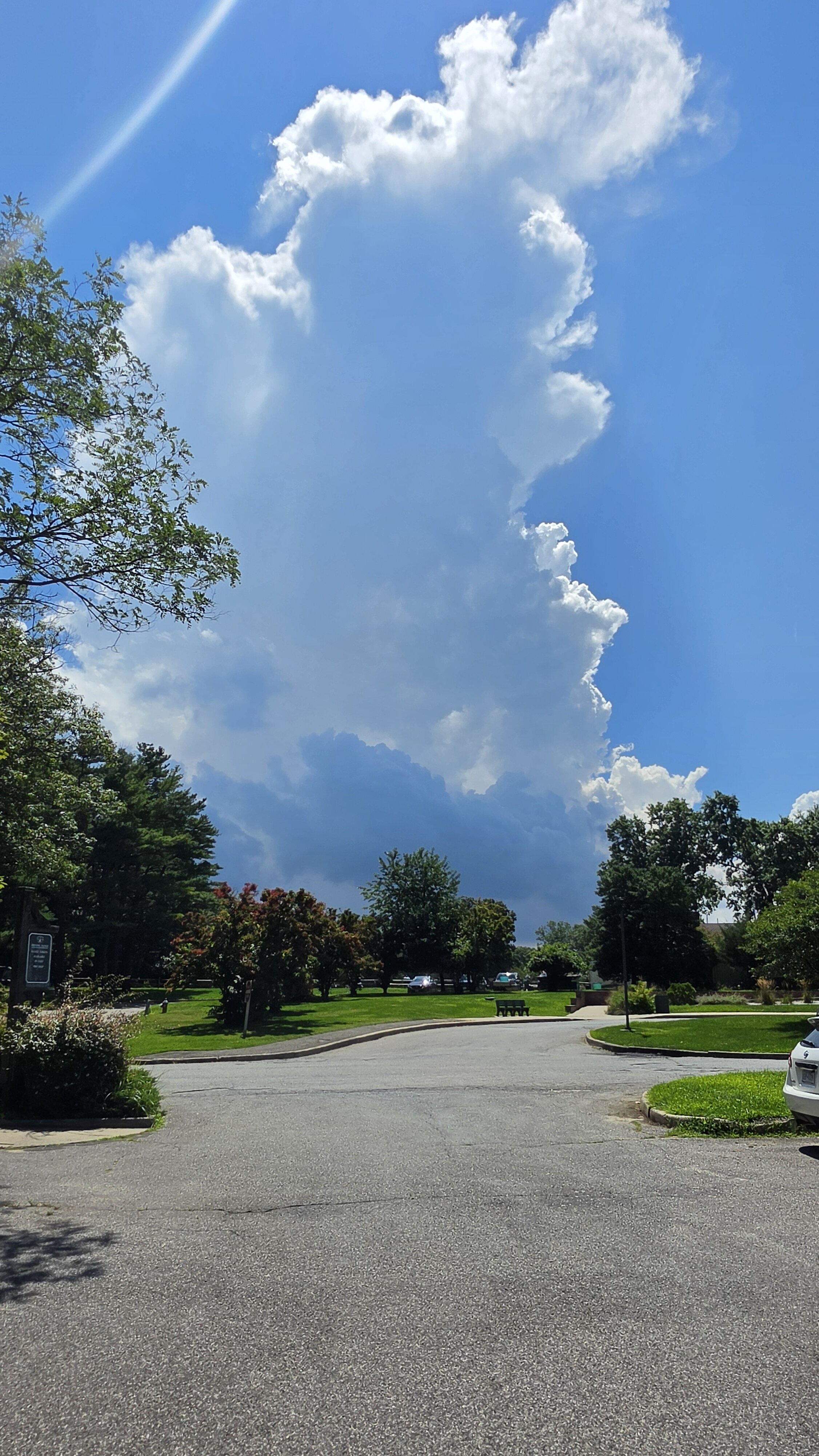
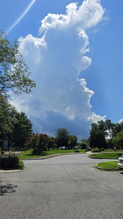
Moment ago view from the Sunken Meadow golf course.
-
86/79 yuck