

mimillman
-
Posts
3,615 -
Joined
-
Last visited
Content Type
Profiles
Blogs
Forums
American Weather
Media Demo
Store
Gallery
Everything posted by mimillman
-
This is legit serious hail
-
This winter gets a C from me. Great start, horrendous finish resulting in below average snowfall AGAIN. Silver lining are the spring days we’ve gotten the past couple weeks
-
Thinking about canceling my Utah trip in a couple weeks
-
Winter 2025-26 Medium/Long Range Discussion
mimillman replied to michsnowfreak's topic in Lakes/Ohio Valley
UP winter -
True, goes to show you how terrible the prior 3 years were. Those were the exception, not this year. Though the back half of this winter is also exceptionally terrible. It is very possible that Chicago will end up below average again on snowfall.
-
Eh no. Not the same. Talking about the nice wrapped up gulf moisture systems
-
What happened to those good old MI/OV cutters
-
If it wasn’t for a work trip I’d be on a plane to NY now instead of Seattle. One of my sisters lives in Brooklyn the other in Lyndhurst, NJ. Take your pick!
-
Wow, banger February
-
These are the types of storms that make me miss the east coast. Chicago winters pale in comparison when the east gets going. When I grew up in NJ, it seemed like we’d get a blockbuster like this one every 2 years. Unfortunately now it’s more like every 5 years
-
So much about this nor’easter reminds me of the Boxing Day Blizzard 2010. Most models were completely out to lunch on it until the NAM within 72 hours. NCEP even put out a notice that they believed the NAM was suffering initialization issues, until the GFS and ECMWF followed suit on the same run. Then it was a race to prepare NY and coastal NJ for the 2-3 feet on the way.
-
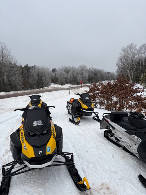
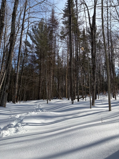
Some pics from the weekend in the UP near Steuben
-
Winter 2025-26 Medium/Long Range Discussion
mimillman replied to michsnowfreak's topic in Lakes/Ohio Valley
This looks pretty sh*t lol -
Winter 2025-26 Medium/Long Range Discussion
mimillman replied to michsnowfreak's topic in Lakes/Ohio Valley
West is gonna get rocked next 2 weeks. And yes, they need it. I was in Jackson MLK weekend and there was barely any snow, conditions were awful -
Winter 2025-26 Medium/Long Range Discussion
mimillman replied to michsnowfreak's topic in Lakes/Ohio Valley
Snowpack nuked today. Torch has begun. I’m all for it just need a soaker now -
Winter 2025-26 Medium/Long Range Discussion
mimillman replied to michsnowfreak's topic in Lakes/Ohio Valley
Zzzzzzz -
That’s actually a crazy stat.
-
Winter 2025-26 Medium/Long Range Discussion
mimillman replied to michsnowfreak's topic in Lakes/Ohio Valley
At least the NW flow had some dusters every once in a while. This is just a train wreck -
Winter 2025-26 Medium/Long Range Discussion
mimillman replied to michsnowfreak's topic in Lakes/Ohio Valley
East coast pattern -
Winter 2025-26 Medium/Long Range Discussion
mimillman replied to michsnowfreak's topic in Lakes/Ohio Valley
Torch -
Winter 2025-26 Medium/Long Range Discussion
mimillman replied to michsnowfreak's topic in Lakes/Ohio Valley
Revenge of the west. Pacific angry. Torch and Feb thunderstorm pattern ahead -
Winter 2025-26 Medium/Long Range Discussion
mimillman replied to michsnowfreak's topic in Lakes/Ohio Valley
Looks like an angry Pacific and some soakers in our future -
Winter 2025-26 Medium/Long Range Discussion
mimillman replied to michsnowfreak's topic in Lakes/Ohio Valley
Torch incoming -
1/30-1/31 Lake Effect Snow Threat - SE WI, NE IL, and NW IN
mimillman replied to A-L-E-K's topic in Lakes/Ohio Valley
Euro still loves cook county tomorrow. It’ll be very cool to see a global score an LE coup, especially one that benefits us Chicago folk -
1/30-1/31 Lake Effect Snow Threat - SE WI, NE IL, and NW IN
mimillman replied to A-L-E-K's topic in Lakes/Ohio Valley
Rippage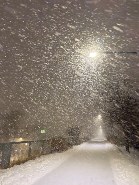
- 82 replies
-
- 10
-

-


