HIPPYVALLEY
-
Posts
32,949 -
Joined
-
Last visited
Content Type
Profiles
Blogs
Forums
American Weather
Media Demo
Store
Gallery
Everything posted by HIPPYVALLEY
-
Already below zero here before midnight. -2/-5
-
2/-4 Going below zero tonight.
-
Jeezuz, how is there no ice? People are walking on rivers around here.
-
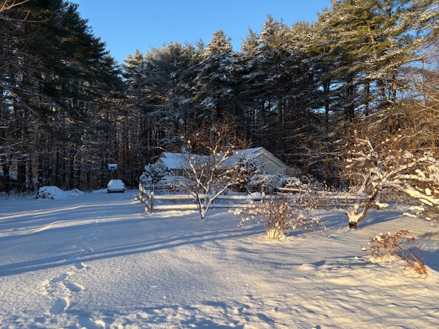
 6.5” total. Stunning morning with the sun and fresh snow.
 -
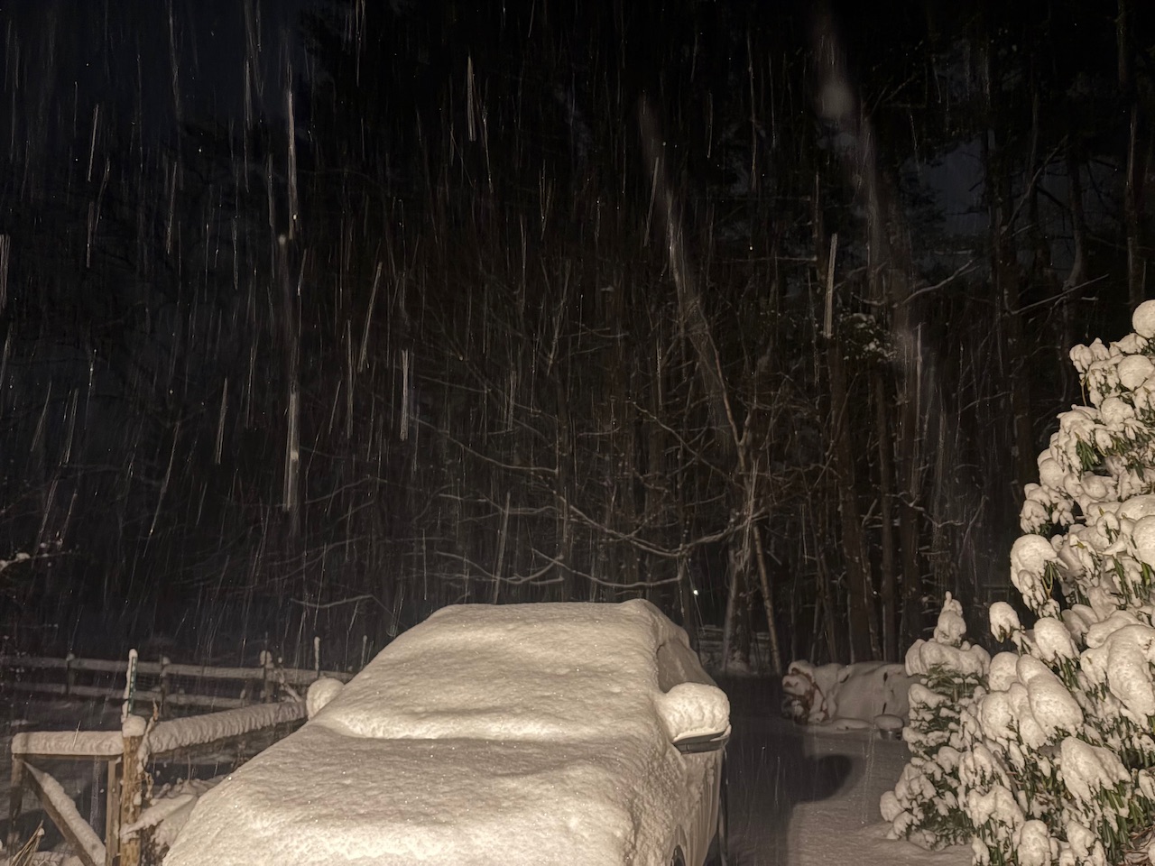
I mean, it's still coming down... I have got to go get some sleep now.
-
6.5" 24F -SN We winter.
-
Tonight will get me over 17" season to date.
-
It won’t last too much longer, but it is still coming down at a good clip here. Prolly hit 6.5”

-
Not too often I get the early fronto and then the deform. Warning criteria met and surpassed for the first time this snow season.
-
Just over 6” now and still moderate snow. 25F
-
Wow, quite the finish. Just shy of 6" with moderate snow and good growth. Mid-level magic FTW.
-
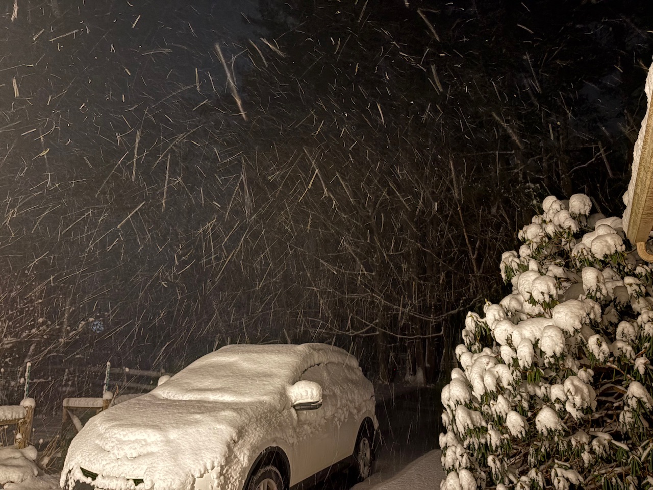
Snowing pretty hard actually. Maybe we break 6"?
-
Good finale here. 26F SN 5.5” makes this the biggest storm of the season so far.
-
I have to go to bed but it's still legit moderate snow here. Did not expect that radar fill in, maybe we do get close to 6' in Greenfield.
-
Real winter feel too and will be for a few days.
-
I'm guessing just the western deformation zone as the storm cranks off the coast and heads NE? Either way, nice ending.
-
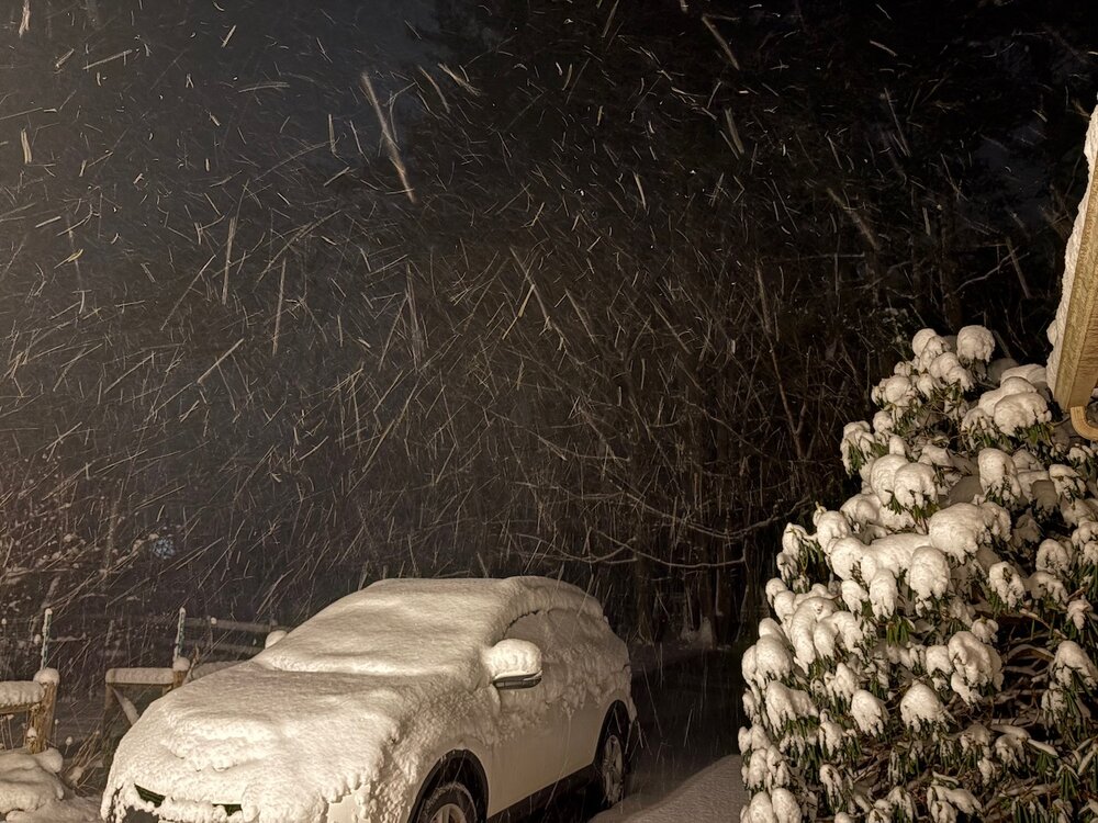
Radar actually back filled nicely for the exit party. 5" now with steady light to moderate arctic powder snow. 27F
-
I’m just happy to be able to talk about lagers with somebody.
-
One last nice burst of moderate here right now. My wife is about to strangle me I’ve opened the door and gone outside so many times tonight.
-
Again, no complaints here, my goal was breaking 4” and should end with 4.5” or so.
-
I was very lucky to get hit earlier. It was such a narrow band from me to Dendrite.
-
A SWFE is just a wall of steady snow falling straight down in these parts. Usually followed by an hour or two of light freezing drizzle. None of this nonsense with winds aloft, creating micro flakes.
-
Oh, it’s absolutely a coastal storm, that’s my point.