TheMainer
Members-
Posts
304 -
Joined
-
Last visited
About TheMainer

Profile Information
-
Four Letter Airport Code For Weather Obs (Such as KDCA)
3B1
-
Gender
Male
-
Location:
Guilford, Maine
Recent Profile Visitors
2,402 profile views
-
We desperately need something to work out up here, snowmobile trails are getting down to dirt cause of all the traffic and school vacation week, besides that 12 inches we got haven't even sniffed 3 inches for a month up here. I'm hoping 8-10 inches total for all of next week and by next Saturday we can get things back into shape
-
“Cory’s in NYC! Let’s HECS!” Feb. 22-24 Disco
TheMainer replied to TheSnowman's topic in New England
I know this is a miss or 1-3 inch max for up here, but just hoping the GFS is more right about later next week and not that ugly Euro I saw. School vacation week has literally wore the snow off the trails, we need 6 inches bad, but probably realistically a foot to start battling the March sun -
Looks like we spike to 40 here Tuesday, but other than that only slightly above freezing. We'll take that.
-
Feb 10-11 Mid Week Minor Event - Ride the hot hand?
TheMainer replied to HoarfrostHubb's topic in New England
2.9 inches here after a 2 week snow drought, might as well always take the least snowy model and it'll be right 90% of the time! At least leaving for Cancun on Saturday morning out of Quebec City so maybe we'll get lucky and it'll snow while we're away... -
Feb 10-11 Mid Week Minor Event - Ride the hot hand?
TheMainer replied to HoarfrostHubb's topic in New England
Considering we didn't even get a dusting on Saturday I don't feel bad if we can cash in a bit up here while other areas get less, but I don't expect more than 4 inches, been hurt too many times before! -
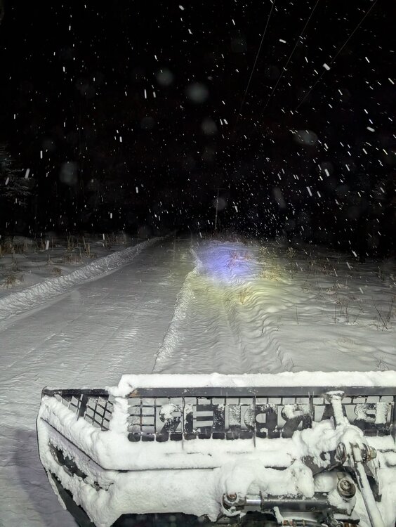
Bombardier BR 160 from 1996, which Prinoth bought out in 2006 I think. Nice machine, but going to upgrade to something newer this summer
-
Ended up with around 9 inches at the groomer barn and 10 inches at the house, picked up around 4.5 inches throughout the day yesterday. Ran the groomer over it last night, definitely needs another pass and some sled traffic but should set up by the weekend
-
I think it will take a pass, sleds, and another pass but by the weekend with the cold temps I think this should pack in alright. Smaller drags behind snowmobiles will struggle but with our 8x16 it will process and heat up some hopefully. Real thin spots before the snow aren't going to be stellar that's for sure.
-
I'm not seeing 20:1 ratios here I don't believe, just give me my 6-8 inches and stop giving me hope!
-
Euro got better up here, CMC is fairly steady, but icon took a big step towards the GFS which makes me nervous. I'm fine with 6-8 inches and would be thrilled, less than that and it'll be pretty depressing, haha.
-
-
I've been happy with seeing greater than 0.5 of QPF on every model except the GFS up here, give me 6 inches of snow and I'll groom every trail out nice. This wasn't even supposed to be a Maine storm until a few days ago so this is all bonus!


