

cstrunk
-
Posts
592 -
Joined
-
Last visited
Content Type
Profiles
Blogs
Forums
American Weather
Media Demo
Store
Gallery
Posts posted by cstrunk
-
-
5 hours ago, Roy said:
This thread is basically dead, but will say I am looking forward to some rain finally it appears next week. Just hope it gets this far east. Looks like a pretty heavy concentration from AUS to Amarillo.
Yeah, me too. We haven't head any meaningful rain in my part of East Texas for about a month.
-
Texas has been enjoying very timely rains this summer in most locations, it seems. Very nice to see.
Parts of NE TX had 2-6" of rain this weekend. We had another round of thunderstorms move through today.
-
Looks like storms are interacting with plentiful boundaries/outflow boundaries. A storm developing over Tyler has shown some weak rotation with a decent wall cloud. Nothing severe out of it yet, but so nice to see since I haven't had a good storm in a long time! Looks like the Canton storm is heading towards Tyler.
-
 1
1
-
-
I'm welcoming these below normal temperatures in East Texas. Plus we had 1-2" of rain last night and this morning in a decent portion of the area with high temperatures in the low 80's. Not what you expect to experience in early August! The humidity was gone for a few days but is definitely back now, though.
-
We need a subject title change in here!
I'm enjoying the summer that finally arrived to East Texas, Happy Independence Day!
-
I would go for that track, or one 100 west...
")
-
18 hours ago, bjc0303 said:
Gotta say that ensemble mean forecasts for next week look pretty impressive, with promising events possible Tues, Weds, and Friday it looks.
10 hours ago, 1900hurricane said:I went ahead and pulled the trigger in setting aside most of next week for chasing. I've never dedicated this big of a time block to chasing in the past, so I'm really excited to finally be able to do something like this. The persistent western troughing progged across all guidance helped solidify it in my mind.
10 hours ago, jojo762 said:I have Monday-Friday off next week as well, still have some finals on Tuesday and Thursday but those are all in the morning. Looking like an active period, with several impressive days (at least it appears there will be). Surprised by the lack of talk about it.
I also am free for the first half of next week, and if Tuesday/Wednesday are looking good I might make a two-day chase out of it, depending how things are looking closer to the event, which would be my first multi-day chase.
-
Boy, this thread sure has died.
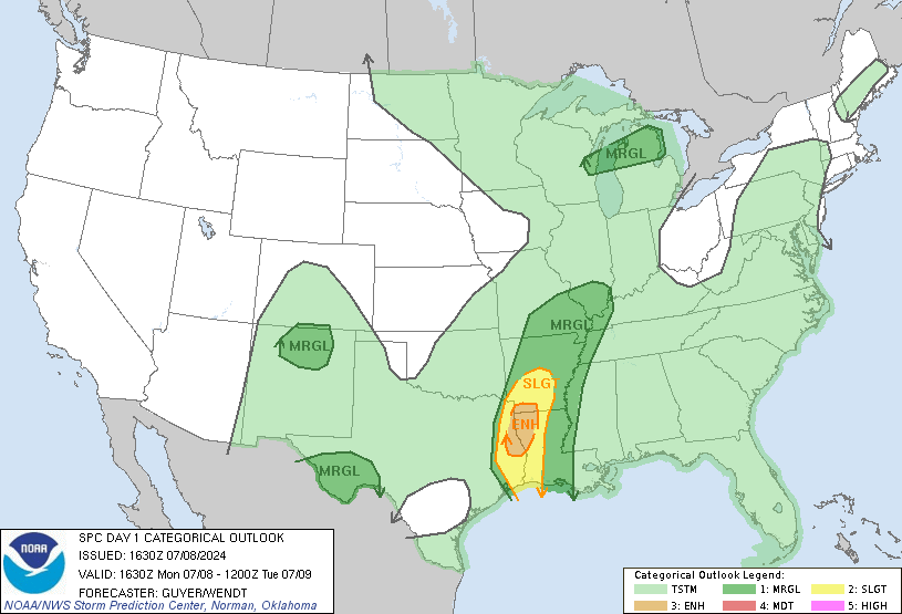
An enhanced risk exists across SE OK and north-central to northeast TX this afternoon and evening with 5% tornado prob's.
-
The storm between Fort Worth and Hillsboro looks a bit ominous on radar.
-
This thread sure has been quiet lately.
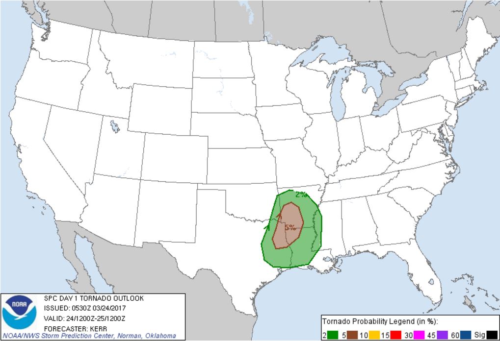
SPC has put the Ark-La-Tex region in a 5% tornado probability for later this afternoon (the 24th)...

-
It felt like early May outside today. High of 87. Tomorrow will be very similar, high of 85.
I'm hoping we can get some decent storms out of this system coming later this week.
-
I tried a test-run of a GoPro time-lapse on my way to work this morning, thinking I might catch some good views with the front/storms moving through. I still have some things to figure out. Luckily, the views weren't that interesting, weather-wise. It was mostly light rain the whole way with a few heavy downpours here and there.
-
Well it looks like this afternoon was mostly a dud. One storm did get going fairly well around Lake Fork, with a severe warning tagged on it. But it never really looked that ominous except for maybe some hail. I was close to heading out the door to catch up with it before sunset, but decided not to. In hindsight I probably should have, I've been wanting to get more experience in shooting with my old GoPro that I haven't used much. The lack of low clouds in the area might have made for a nice show.
-
Looks like new storms are firing southeast of Dallas.
-
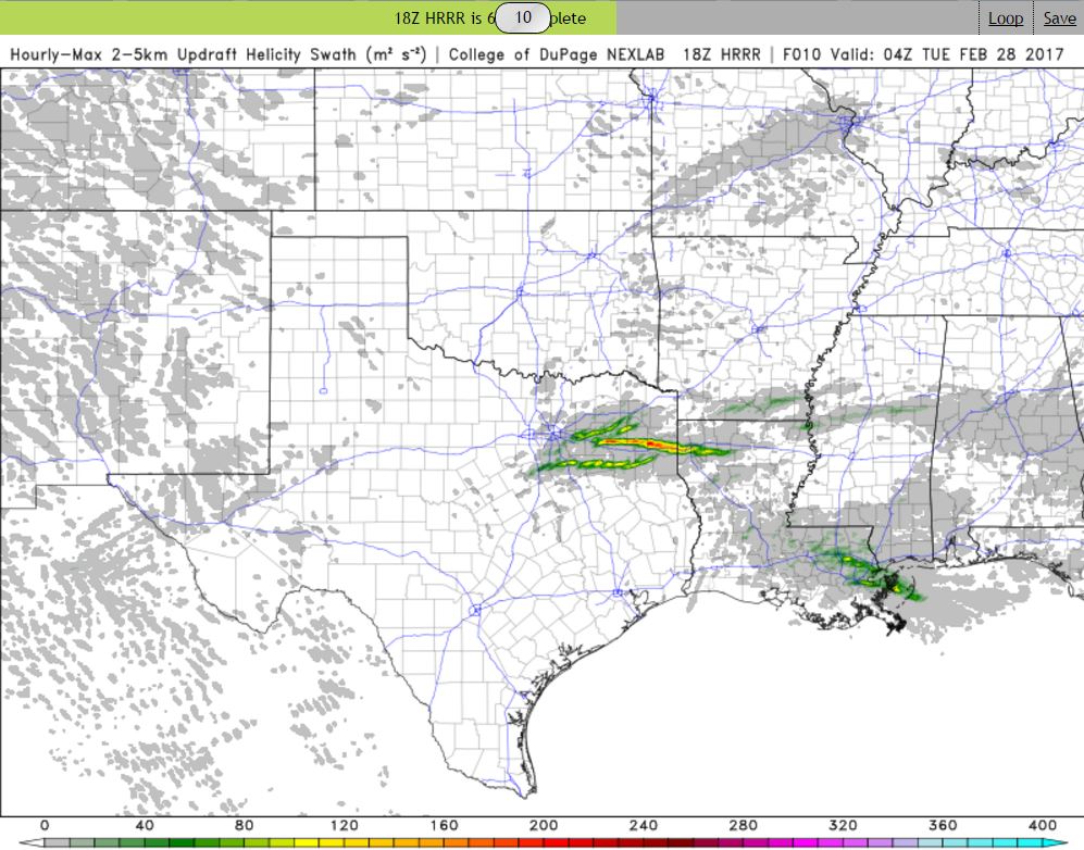
Keeping an eye out this afternoon. The 18z HRRR is hinting at a pretty substantial UD Helicity Swath sweeping through east Texas this afternoon/evening. Pretty much right along I-20 east of Dallas. I wonder if it is picking up on an outflow boundary being laid down by current storms in NE Texas, with later storms firing east/south of Dallas and latching on and riding it all the way to Shreveport?
I stepped outside around noon and the atmosphere definitely had that feel to it. The sun is shining and it is 78/64 in Tyler.

-
I was hoping for some lightning and thunder overnight... but alas, nothing. Just a steady cool rain. If we aren't going to have any more winter, I'd at least like to get the severe weather season rolling around here.
-
Looks like a really nice week upcoming for East Texas. Boring as far as precipitation goes, but we'll be close to a record high in Tyler on
Monday, February 6th. Forecast high is 83F and the record (1911) is 84F.*EDIT - Looks like the record high is for tomorrow, Tuesday, Feb 7th at 82F. The forecast high is 83F.
-
We ended up with 5.33" rainfall since this past weekend at my office.
-
At my office east of Longview, TX, we've had about 3.7" of rain measured in our rain gauge. The streams/creeks are just out of their banks. We may end up with a few more tenths to a half an inch today depending on if we get hit by any of the heavier cells that have yet to move through the area.
-
Finally seeing a couple flurries here and there in Tyler. Not going to get anything more than this it looks like. Congrats to you guys in DFW with the dusting.
-
7 minutes ago, Quixotic1 said:
I'm getting dry slotted! Haha
You're still sitting better than us in East TX! Wintry precip to our SE and NW... Nada here.
-
1 hour ago, jhamps10 said:
Had flakes when I was walking out the door in SW Arlington, drove through a decent sized burst on 20 near the East loop 820 merge.. NBC5 is saying that this is Lake Effect off of Lake Grapevine... Not sure I'm buying that but okay whatever.
Getting some light flurries now at my office in Downtown Ft Worth, hard to tell since I'm 33 stories up
34 minutes ago, aggiegeog said:I can buy the lake effect idea with NE winds off of the lakes and temps in the low 20s. Lake effect snow is not as rare as you would think when temps get this low with wind blowing decently around here.
The radar returns are lining up pretty well with Lake Ray Roberts, Lewisville Lake, and Grapevine Lake. Lake effect snow in DFW... who'da thunk it?
-
SPC mentions that the front is trending slightly faster, so the severe risk is trending the wrong direction, towards the east. Bummer. Hope that changes.
-
I hope I did this right and it's not time-sensitive, but I'm glad to see a Day 5 slight risk for deep east Texas. I'd like to see the system slow down a bit and move a bit farther west, but at least there's some interesting non-winter weather possible in my neck of the woods for Saturday:
A cherry on the top would be a bit of wintry precip behind the front Sunday morning. At least we have something interesting to follow!
Texas/New Mexico/Louisiana/Mexico Obs And Discussion Thread Part 8
in Central/Western States
Posted
I'm about to start resorting to nightly rain-dances so I can get some appreciable rain IMBY. We got about 0.20"-0.25" last week, and maybe 0.10" from Harvey. The last decent rain was within a week or so before Harvey came ashore. About a month and a half ago.