

madwx
-
Posts
2,281 -
Joined
-
Last visited
Content Type
Profiles
Blogs
Forums
American Weather
Media Demo
Store
Gallery
Everything posted by madwx
-
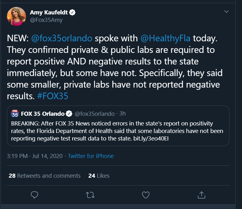
of course a group of people online have taken this as sign of a massive conspiracy. This reminds me of early on when Oklahoma was reporting only a tiny amount of tests and a very high positive rate because all private labs were only reporting positives. It made Oklahoma look like it was testing an order of magnitude people less than every other state ETA: confirmation of our theory
-
Crazy, just like watching the doctors slowly kill themselves in the operating room day after day. Not to mention the mass deaths in Asian countries from mask wearing. Not a time to trust the "experts."
-
Mr. Covid’s Wild Ride never ends
-
Gonna be very close to our normal July rain total already with rain only falling on 2 days this month
-
So much lightning with these storms. Gonna get a hefty rain total as well
-
Madison tagged 90 again today. 5 days in a row now
-
Saturday looking potentially interesting in Wisconsin on the NAM and 3km NAM.
-
we're going to have outflow boundaries galore over southern Wisconsin so that might be able to elevate some storms from an average t-storm day.
-
looks like another MCV/shortwave rolling along the Minnesota Iowa border through the afternoon and reaching Illinois/Wisconsin just after peak heating.
-
89'd for the 3rd time this month. Humidity is gonna take our 90s away this summer
-
looks humid, corn is gonna be chest high by the 4th
-
patterns like this make the CAMs look so foolish
-
yeah the airport might not get the super high amounts but the west side of town already has 2.5" plus
-
dewpoints cranking up to 75 here. really liking our odds of getting multiple days of dews over 80 later this summer
-
Even when the severe is mediocre we still do rain very well. 1.03” on the day and 4.82” on the month. Our new June climate average for 1991-2020 is going to be a crazy high value of around 5.3”
-
Yeah I’d kill for even a late night MCS with vivid lightning. The pattern has been really wonky this year
-
65 mph wind gusts with the severe warned cell
-
Severe Thunderstorm Warning for the cell right on the nose of the MCV along the MN/IA border
-
Prairie Du Chien already up to 76/70
-
it was down for about 10 mins but it's back up now. at least on radarscope
-
these are elevated WAA showers so they aren't generating a cold pool. Surface warming already occurring in SW Wisconsin
-
Pros: MCV barrelling down the Iowa/Minnesota border, should reach here during the afternoon, ample moisture return Cons: All that convection between here and the MCV
-
As long as there is no festering convection in eastern Iowa in the mid morning I’m feeling prettay prettay good There's even some local backing of winds through late afternoon
-
the HRRR has been trending slower all day and its been the quickest model. Hoping the trend continues so storms erupt in our area
-
day 2 of some fiesty thunderstorms about to hit MSN. Looking like some small hail and 40 mph winds expected with these. can hear the thunder get louder as it approaches


