8611Blizz
-
Posts
1,629 -
Joined
-
Last visited
Content Type
Profiles
Blogs
Forums
American Weather
Media Demo
Store
Gallery
Everything posted by 8611Blizz
-
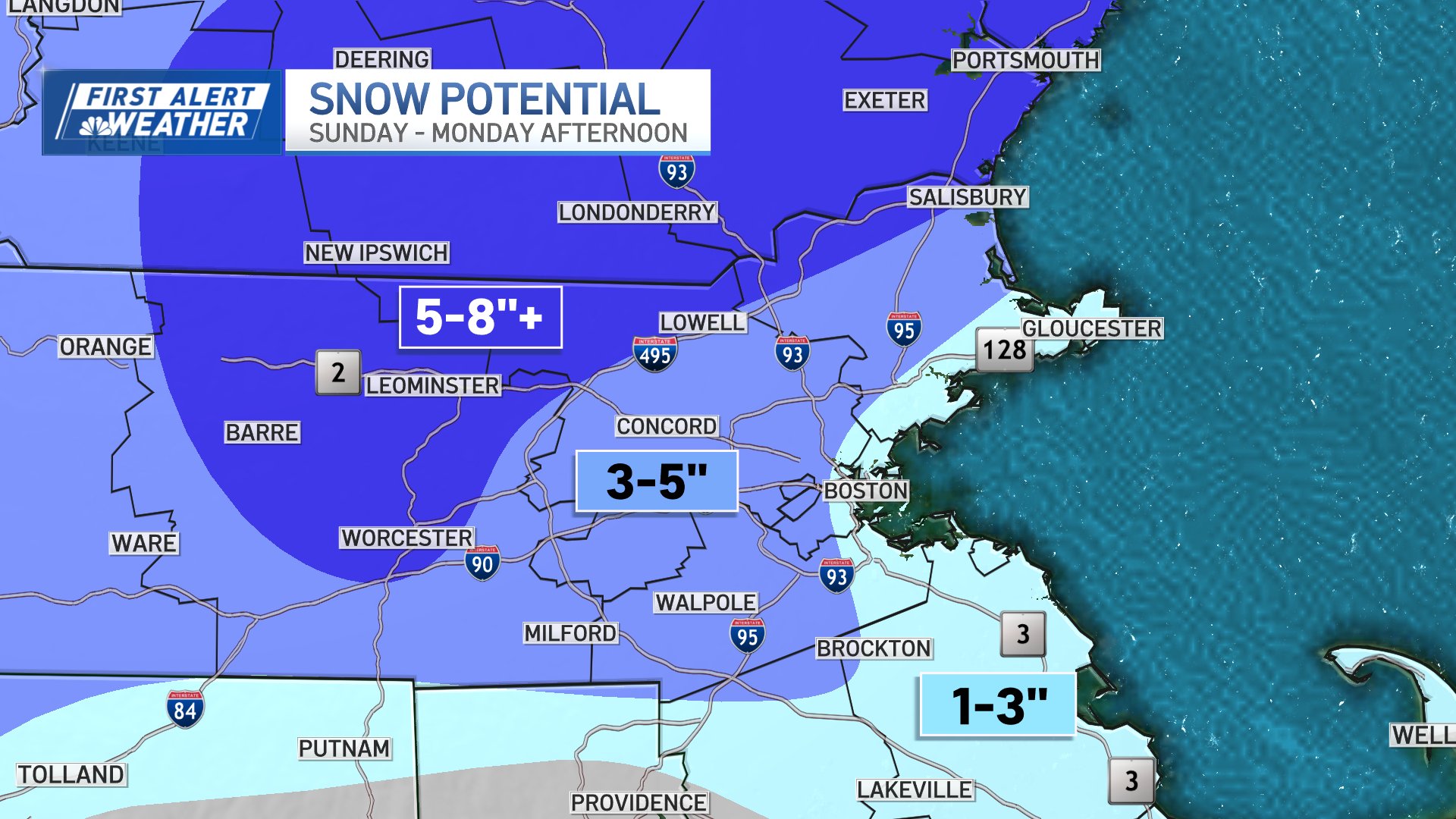
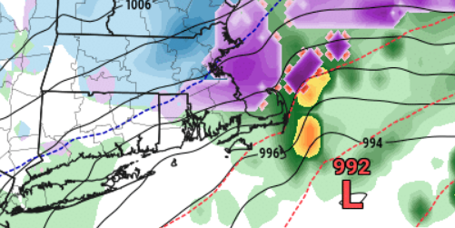
 I think this Box map is fairly close to correct unfortunately.The coast is cooked with these temps.
-
If that is correct you'll see people in CT wading into the ocean to end their pain...
-
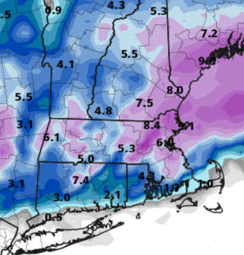
That is actually a bit worse for the coast but the 5-6 that it had here yesterday was probably a fantasy anyway.
-
Eat some linguica, you'll feel better
-
Apathy scooter is the worst scooter...
-
off hour shenanigans?
-
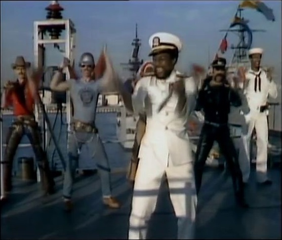
Yes, this is definitely what the 80s were like minus being able to tell the world how we feel about it.
-
So much energy expended for what will likely be about 3 here. Winter of yore
-
It was a Flop... February 2024 Disco. Thread
8611Blizz replied to Prismshine Productions's topic in New England
The more realistic map... -
The highs on Monday and Tuesday have warmed a lot from two days ago also.
-
Track is almost perfect for us coastal folk
-
As soon as he gets on board it all goes to shit... https://www.bostonglobe.com/2024/01/25/metro/strong-probability-accumulating-snow-this-weekend/
-
Looks like we coasties will get our 2-4 the hard way. Would be nice to get some cold clippers to do the same.
-
That looks like the current nexrad. Maybe south of PIKE does a little better?
-
This is like the weather equivalent of the zapruder film. The temperature is back and to the left...
-
30 and dim sum

-
Been very busy with this last storm so just catching up now. Judging by the 20" talk I guess there is not that much on deck?
-
Ask these guys.
-
Some flurries and a lot of wind so nothing stuck to anything.
-
Maybe here also
-
Heavy ominous cloud cover...looking SW.
-
If this medium existed 35-40 years ago I would expect it (the forum) to be roughly the same.