mclean02
-
Posts
263 -
Joined
-
Last visited
Content Type
Profiles
Blogs
Forums
American Weather
Media Demo
Store
Gallery
Everything posted by mclean02
-
https://youtu.be/q9S8WRkAw0g?si=MRqIr5eI-hA5adjI nice video explaining what happened
-
Charlotte Tornado warning i think Goldsboro to Triangle area will be the area with the highest chance of seeing something today. Seems like that is normal area for these type of events.
-
Severe Weather Statement National Weather Service Greenville-Spartanburg SC 829 AM EDT Mon Mar 16 2026 NCC045-SCC021-087-161300- /O.CON.KGSP.TO.W.0002.000000T0000Z-260316T1300Z/ Cleveland NC-Cherokee SC-Union SC- 829 AM EDT Mon Mar 16 2026 ...A TORNADO WARNING REMAINS IN EFFECT UNTIL 900 AM EDT FOR SOUTHWESTERN CLEVELAND...CHEROKEE AND NORTHWESTERN UNION COUNTIES... At 829 AM EDT, a severe thunderstorm capable of producing a tornado was located 8 miles north of Gaffney, or 4 miles southwest of Boiling Springs NC, moving east at 45 mph. HAZARD...Tornado. SOURCE...Radar indicated rotation. IMPACT...Flying debris will be dangerous to those caught without shelter. Mobile homes will be damaged or destroyed. Damage to roofs, windows, and vehicles will occur. Tree damage is likely. This dangerous storm will be near... Patterson Springs and Earl around 840 AM EDT. Other locations impacted by this tornadic thunderstorm include Cherokee Falls, Draytonville, Thicketty, Saratt, and Kings Creek.
-
I hope its not bad already clear here in Charlotte so not sure if that would translate the same up there well before mid day.
-

The “I bring the mojo” Jan 30-Feb 1 potential winter storm
mclean02 replied to lilj4425's topic in Southeastern States
Had a great time tracking and enjoying this storm. We ended up with about 10 inches in areas, and with drifting, it was higher. Crazy storm! It looks like it was the GFS that called this week out, I think. Great job Bloo!! -
The “I bring the mojo” Jan 30-Feb 1 potential winter storm
mclean02 replied to lilj4425's topic in Southeastern States
Currently about 7 to 8 inches here in North Charlotte, and I'm loving it. I've been worried since I was forced to move from Greensboro for work that I would always miss storms like this with sleet and freezing rain. So happy to see it in the RDU area; it's coming. It all has to pivot east, I hope. If I recall correctly, the Carolina Crusher that bad boy dumped 20 inches in like 7 hours. Maybe people can correct me on that. I was ready to be happy with 2 inches of wind; you never get to see that kind of stuff around here. Anyway, y'all get out there and enjoy it. And one last thing, don't be like me and almost get frostbite, lol. Love posting and reading here so I hope we all get dumped on ! -
January 30th- Feb 1st ULL and coastal storm obs
mclean02 replied to JoshM's topic in Southeastern States
North Charlotte 20.3/ 91% Snow. Loving the bojangles box lol!
-
That's after two storms lol crazy
-
The “I bring the mojo” Jan 30-Feb 1 potential winter storm
mclean02 replied to lilj4425's topic in Southeastern States
That storm was legendary with the lady on the phone and car on fire on the hill lol! Which one was that ? -
January 30th- Feb 1st ULL and coastal storm obs
mclean02 replied to JoshM's topic in Southeastern States
North Charlotte 34.5 / 38% and 66.7 inside lol! I cant wait to see some snow on top of Sleet/Ice we have outside. -
The “I bring the mojo” Jan 30-Feb 1 potential winter storm
mclean02 replied to lilj4425's topic in Southeastern States
Oh man I remember that one so much as a kid in Greensboro lol -
The “I bring the mojo” Jan 30-Feb 1 potential winter storm
mclean02 replied to lilj4425's topic in Southeastern States
Been a while since i have seen something like that let's go!! -
Ah I see thank you!
-
It looks like this weekend's storm has the same mechanisms occurring as that one, like ULL?
-
The “I bring the mojo” Jan 30-Feb 1 potential winter storm
mclean02 replied to lilj4425's topic in Southeastern States
I wish i was old enough to see it ! I think Hawaii was due to the highest mountain there. -
The “I bring the mojo” Jan 30-Feb 1 potential winter storm
mclean02 replied to lilj4425's topic in Southeastern States
I have lived in Triad my whole life and don't ever recall a blizzard warning being issued for Guilford county that is but after looking i guess RDU are really strict about issuing those lol -
Southern Crippler - Get well soon Jimbo Storm Obs
mclean02 replied to BooneWX's topic in Southeastern States
North Charlotte 28.0 from 21.9 an hour ago that is wild ! -
Southern Crippler - Get well soon Jimbo Storm Obs
mclean02 replied to BooneWX's topic in Southeastern States
Heavy Sleet. North Charlotte 23.7 93% -
Southern Crippler - Get well soon Jimbo Storm Obs
mclean02 replied to BooneWX's topic in Southeastern States
North Charlotte 27.1 cloudy few sleet pellets -
It's not unheard of to get severe storm warnings for cells in winter storms. I recall it during the crazy Texas storms before.
-
I'll tell you when I had enough just one more model run !!! Lol
-
It seems like at this point if I moved to New Orleans or Myrtle Beach, I would expect more snow than Charlotte or Greensboro in the last few years, haha.
-
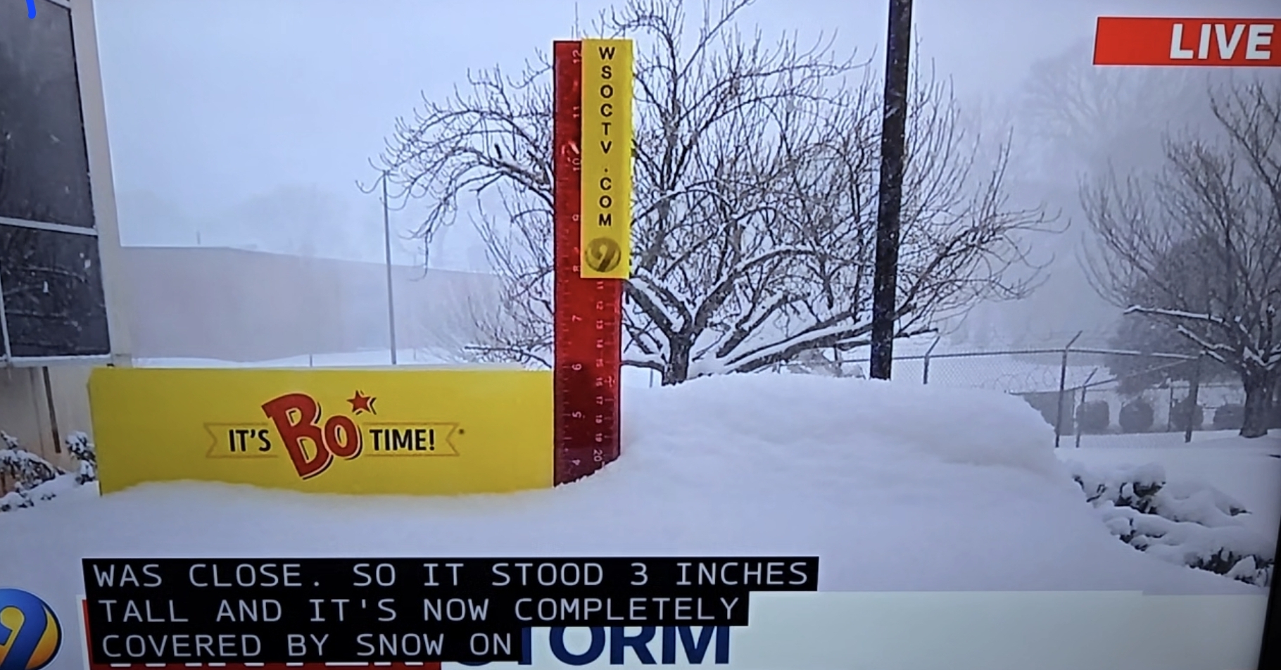
I will be happy with just a ground coating here in Charlotte and hope we all get some snow ❄️
-
Okay thank goodness
-
How does this compare to 2011 ? Because Atm it seems like it has the morning squall line on the models and the evening tornado threat just like in 2011.