
Kay
-
Posts
1,710 -
Joined
Content Type
Profiles
Blogs
Forums
American Weather
Media Demo
Store
Gallery
Posts posted by Kay
-
-
I couldn't post at the time but snow shower in Fells Pt right on the water around noonish. Possibly snow mixed...? I also couldn't run to a window to get a good look. Snow weenie torment lol. First flakes I've seen this winter.
-
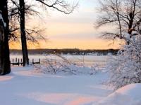
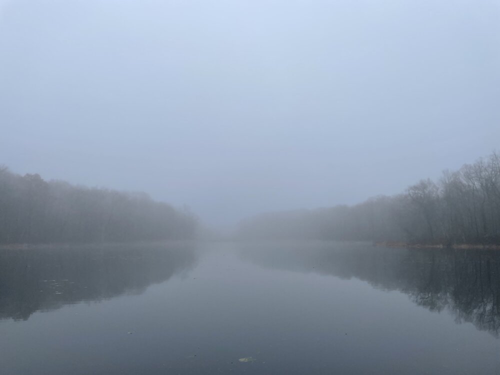
Fog
-
 8
8
-
-
6 minutes ago, Terpeast said:
Not even a month ago, we were expecting a mild December to start. Had the models not shown cold in mid month at all, we’d be saying “right on track as expected”
Exactly. We collectively wrote off December

-
0.6" here too
-
-
BWI: 27
DCA: 19
IAD: 30
RIC: 11
SBY: 12
-
1
-
-
I panic every time I see the words "warm nose". Is that a hidden menu option in the gold package or do I need the Platinum quadruple play package?
-
 2
2
-
-
Low of 22
-
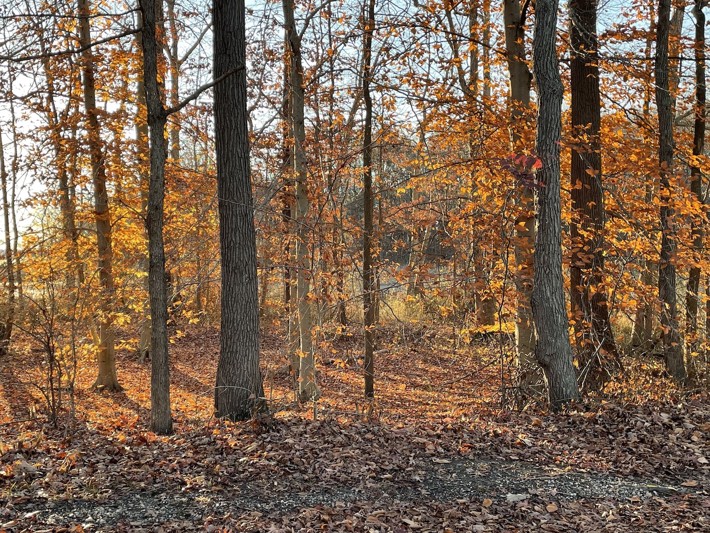
Most trees are bare around here, with a few final gasps

-
5
-
-
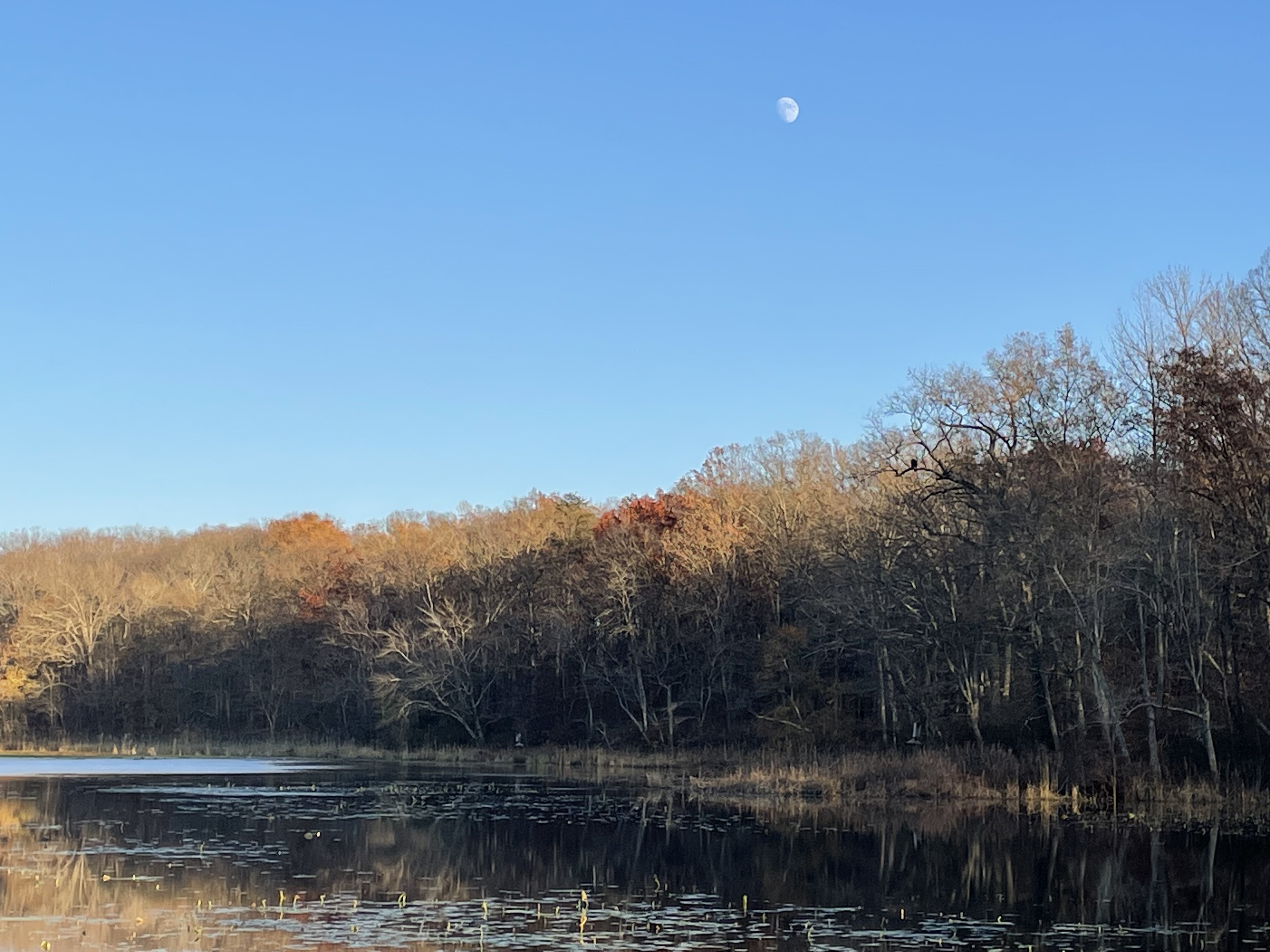
Shot from Thanksgiving day. Find the bald eagle..I didn't notice

-
10
-
-
Brisk night with a full moon and mostly clear for many/most...wintry vibes incoming
-
27
-
1
-
-
2.9"
-
I'm at 1.5" so far.
-
9 minutes ago, WxUSAF said:
Happy hour delivers love. And has lost a lot of the craziness it’s been showing the last 48 hours. Much more consistent with other guidance now.
LWX and Mt. Holly were right to toss
-
1
-
-
On 3/14/2023 at 7:20 PM, Kay said:
12/23/2022 T
2/1/2023 T

lmao
-
4 minutes ago, H2O said:
I am going to sound like a serious Debbie and I apologize to everyone.
But the last few years have jaded me so much wrt models and snow. Yeah yeah, I live in a snow hole. MBY sucks for snow. Micro climate they rivals DCA for pathetic snows and marginal events.
That said, the amount of hopium already in the LR with it being only Nov just makes me sigh. I just can’t buy in anymore to 180+ hour maps. It literally has to be inside 5 days now to get hype. I wish I wasn’t so jaded. I got a 4x4 in 2021 and I’ve had ONE, one snow event worth using 4 wheel drive.
Until I see radar lit, temps under 32 up the column, WSWs hoisted I can’t buy into the drooling that gets most fired up.
I still appreciate all the thoughts and knowledge our Mets and veteran posters. I learn a ton from y’all. But man, it’s hard to see what the models spit out at times and not say “ain’t falling for this shit again”
I've been able to scrape together some hopium but completely understandable POV I think a lot of us relate to
-
1
-
-
Sunny and calm but sounds like light rain in the woods from all the leaf drop. 68 nearby. Balmy.
-
1
-
-
On 11/3/2023 at 10:59 PM, ThePhotoGuy said:
Some decent color this year but it was pretty hit/miss. Last Friday/Saturday probably was peak in Northern AA. Went on the shore yesterday to Tuckahoe State Park & Wye Island hoping for some colorful fall foliage but even those locations were post peak/muted colors.
Hit/miss def the case around here, with some standout trees. Had a gig in the Winchester area last weekend and it was much better out there. Along I-70 the South Mtn area was particularly nice! Did I take even a single pic? No I did not.
-
1
-
-
-
17 minutes ago, nj2va said:
First WWA of the season for the mountains @katabatic @jonjon @mdhokie @RIC_WX
URGENT - WINTER WEATHER MESSAGE
National Weather Service Baltimore MD/Washington DC
240 PM EDT Tue Oct 31 2023

MDZ001-WVZ501-010245-
/O.NEW.KLWX.WW.Y.0020.231101T0300Z-231101T1500Z/
Garrett-Western Grant-
240 PM EDT Tue Oct 31 2023

...WINTER WEATHER ADVISORY IN EFFECT FROM 11 PM THIS EVENING TO
11 AM EDT WEDNESDAY...

* WHAT...Snow showers likely. Total snow accumulations of 1 to 3
  inches expected, with localized totals up to 4 inches in extreme
  southwestern Garrett and far western Grant County.

* WHERE...In Maryland, Garrett County. In West Virginia, Western
  Grant County.

* WHEN...From 11 PM this evening to 11 AM EDT Wednesday.

* IMPACTS...Plan on slippery road conditions. The hazardous
  conditions could impact the morning commute.

* ADDITIONAL DETAILS...Localized heavier bursts of snow are
  possible, which could result in lower visibilities. Winds may
  gust to around 30 mph at times.

PRECAUTIONARY/PREPAREDNESS ACTIONS...

Slow down and use caution while traveling.

When venturing outside, watch your first few steps taken on
steps, sidewalks, and driveways, which could be icy and slippery,
increasing your risk of a fall and injury.
Western MD Traffic Cam Season has ARRIVED

-
7
-
1
-
-
1 hour ago, George BM said:
I can see the dark shelf-like clouds approaching with it in Herndon.
Yes, distinct and shelf-like as it approached. Had a few hours of sun here then bam.
-
1
-
-
0.40" in the gauge this morning.
Good day for watching clouds scoot by.
-
1
-
-
Lightning flash. Almost don't believe my eyes but saw it.
-
1
-

December Banter 2023
in Mid Atlantic
Posted