

Cashtown_Coop
-
Posts
3,380 -
Joined
-
Last visited
Content Type
Profiles
Blogs
Forums
American Weather
Media Demo
Store
Gallery
Posts posted by Cashtown_Coop
-
-
Just now, Cashtown_Coop said:
LWX has a couple gusts in the 75-80 mph range in PNS. Lots of damage down this way with multiple reports of trees and wires down. Route 30 has been closed since midnight in the Caledonia area for trees down. Also reports of trees into houses and a roof blown off a house
-
3 minutes ago, Itstrainingtime said:
Thanks for posting that...I was curious how hard she was blowing last night. Mid-50s gusts down here in Lanco, sounds like the models were pretty much spot on. Nice to know they do well with winds.
")
-
2 minutes ago, Itstrainingtime said:
@canderson That's going to bring down the last remaining trees on Front Street...
Lol. Dumpsters overturned
-
 1
1
-
-
I’m at 37.5”.
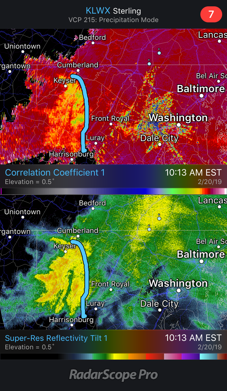
Just read CTP’s morning disco and they’re really hitting the possible wind event on Sunday hard. 50kt winds are closing in on high wind warning criteria.
Focus then shifts toward the potential of strong winds Sunday
PM, as trailing cold front sweeps through the area, allowing
strong winds associated with Grt Lks storm to mix to ground
level. This scenario of a powerful low passing north of Pa fits
the pattern we see with our strongest winds across central Pa
and a quick look at model 850mb winds suggest >50kt gusts are
possible. Have introduced the possibility of strong winds in the
HWO.
-
My high yesterday was only 29. Temp has dropped to 26 with a fog setting in
-
7 minutes ago, Itstrainingtime said:
@Cashtown_Coop Isn't that the place you picked to be the winner?
Yes indeed. The observer there is around 1400ft so they always seem to do well
-
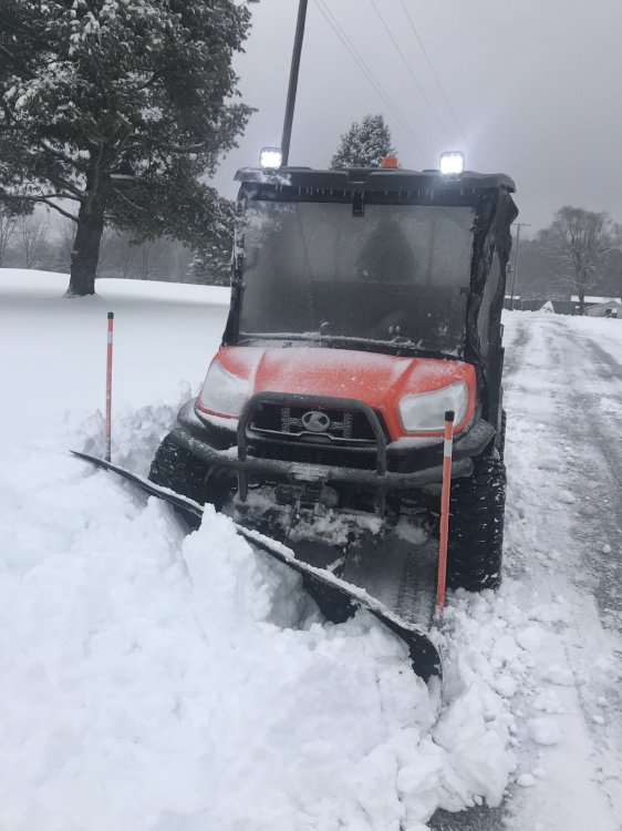
25 minutes ago, pawatch said:
How do you like that for pushing snow?
That thing is a tank. It will get through anything. I’ve plowed a foot a wet snow and it’s cuts it like butter
-
 1
1
-
-
38 minutes ago, canderson said:
Wait, how can an ATV post on a message board?!
You’ve never seen Transformers?
")
-
1
-
-
Here’s a pic of me plowing at work. This was a great event down this way.
-
5
-
-
M6.2”
light sleet snow mix
27
-
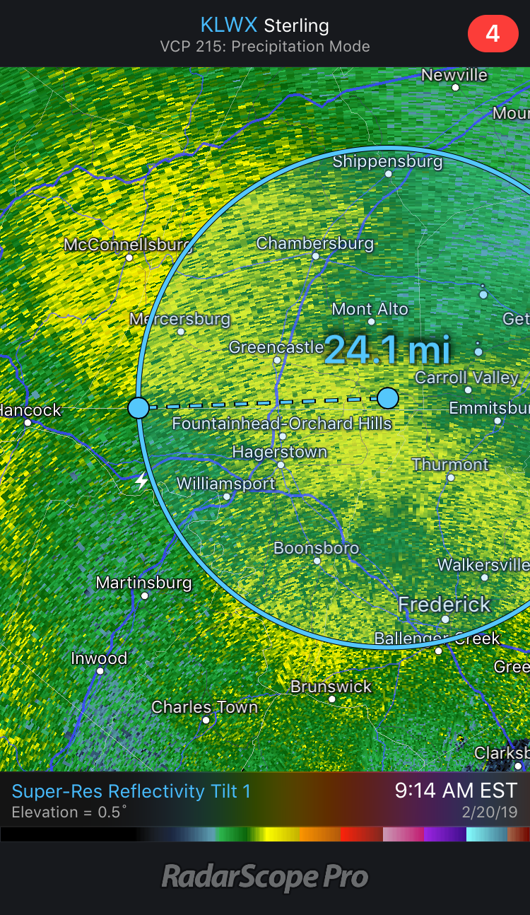
Upper Strasburg reports 8.0”
-
Just now, bubbler86 said:
Yea but I would bet it builds a little back. Heavy stuff seems to be out of here around lunch though. The band moving in near Hagerstown is going to drop 2-4" by itself for anyone that lines up ino the widest part.
Exactly. 6+ is a lock for us. Still s+ here
-
1.8” last hour. Up to 4.4”
-
1
-
-
2 minutes ago, bubbler86 said:
I think all in the LSV are good until mid afternoon. Whether that is 1:30 or 3:30 that is above my paygrade!
Back edge around Cumberland MD puts it 75 miles away. I’d say 1.5 hours for western lsv guys
-
5 minutes ago, bubbler86 said:
Had 3" at 10 and closing in on 4" now so so looking at 1.3" per hour as to the recent stuff.
About same here. I’ll check at 11 to see what my hourly was
-
2 minutes ago, bubbler86 said:
Thanks for posting. I agree that the line is not an end all for us. 850 Line is still way south and modeled 700MB line should sgaty south until 1ish.
I’d like to see the radar backfill a little bit to the west. We may run out of moisture before the column
-
Looks like the second heavy batch is where line is now. It may end up as snow up our way.

-
M2.6”
mod snow
24f
-
2 minutes ago, irvingtwosmokes said:

Those 2 benches were bare at 4 am
I’d say you’re closing in on 6”
-
-
 1
1
-
-
6 strikes centered around Frostburg MD
@bubbler86deathband on your doorstep
-
1
-
-
I think our forum goal should be for someone to witness thundersnow.
-
1
-
-
Another strike just east of Myersdale
-
MA forum reporting 5+” already in Winchester. That’s a good sign
-
3
-

Central PA Feb/March 2019 Disco: More Snow In Our Future?
in Upstate New York/Pennsylvania
Posted
Yes impressive, during the highest winds the direction was SW which isn’t great for my anemometer setup. I only captured a few gusts in the 40’s but I’m estimating 60mph. The ground was so saturated plus there were a few ice storms that may have weakened a few trees so it magnified the event.