bowtie`
-
Posts
6,846 -
Joined
-
Last visited
Content Type
Profiles
Blogs
Forums
American Weather
Media Demo
Store
Gallery
Everything posted by bowtie`
-
I noticed on the bike ride yesterday that the early corn is starting to mature in the bottom quarter of the stalks. Always a bad sign that cooler temps are in the future.
- 231 replies
-
- 1
-

-
- absolute trainwreck?
- abandon all hope?
- (and 1 more)
-
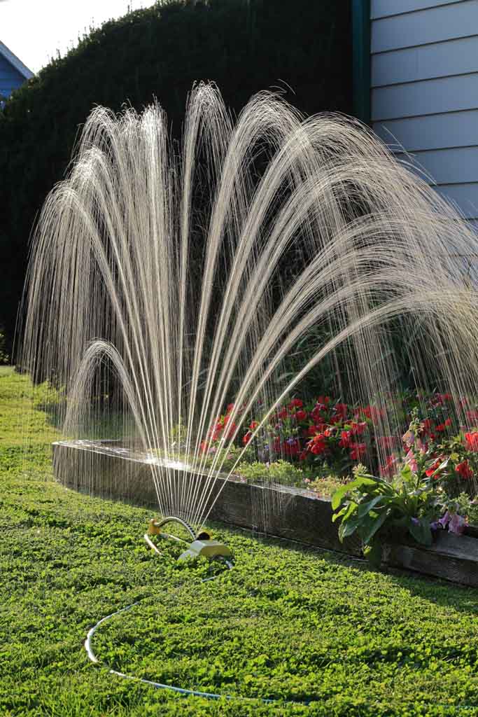
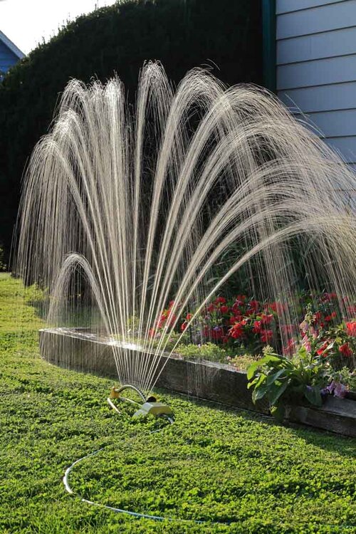
Now in the dog days of summer. Cicada time. And the time for extreme measures to keep the impatiens alive.
-
After being 88'd yesterday, today we lost a couple of degrees of dewpoint and that allowed us to make it to 90 degrees.
-
2024 Short/Medium Range Severe Weather Discussion
bowtie` replied to Chicago Storm's topic in Lakes/Ohio Valley
Looks like that corridor from Van Wert to Lima OH is in for another severe storm. I do not know what it is about that lane of geography, but storms really do seem to like that area, year after year after year. -
Swing and a miss with today's MCS to the west and south. I would not mind another 0.75" tomorrow though. It could not make the humidity much worse. The dewpoint is already 73 degrees. How much higher could it go?
-
2024 Short/Medium Range Severe Weather Discussion
bowtie` replied to Chicago Storm's topic in Lakes/Ohio Valley
Always surprises me that CG's come in a variety of sizes. Just had a popcorn fart from a tiny cell over the house a minute or two ago. Sounded like someone shot a shotgun off in the alley behind the house. Baby bolt. -
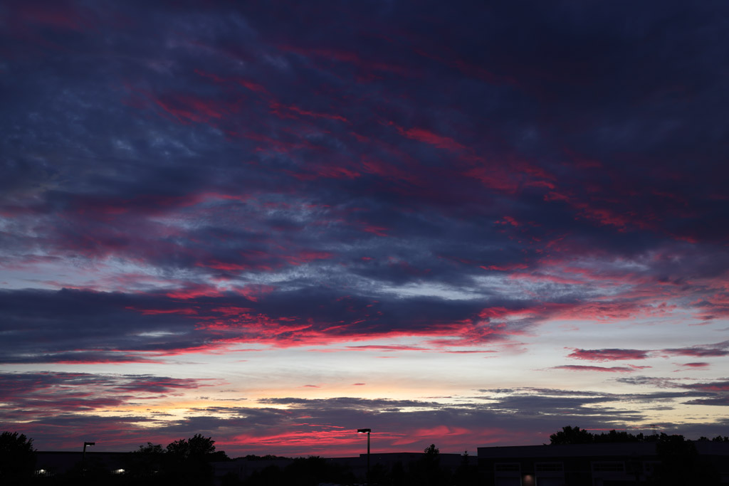
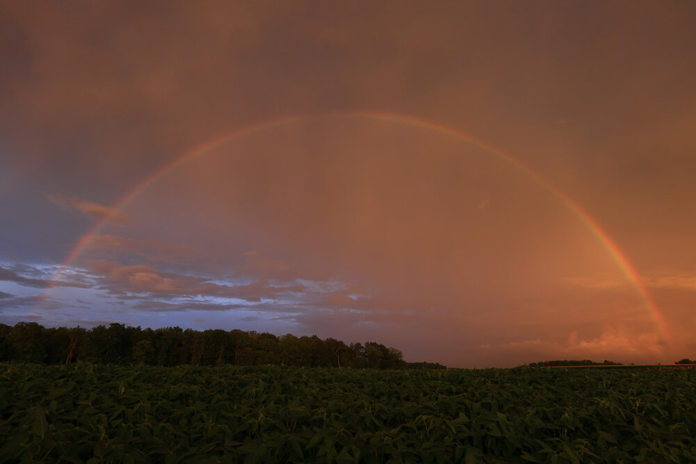
Last night had some magic in the air...
-
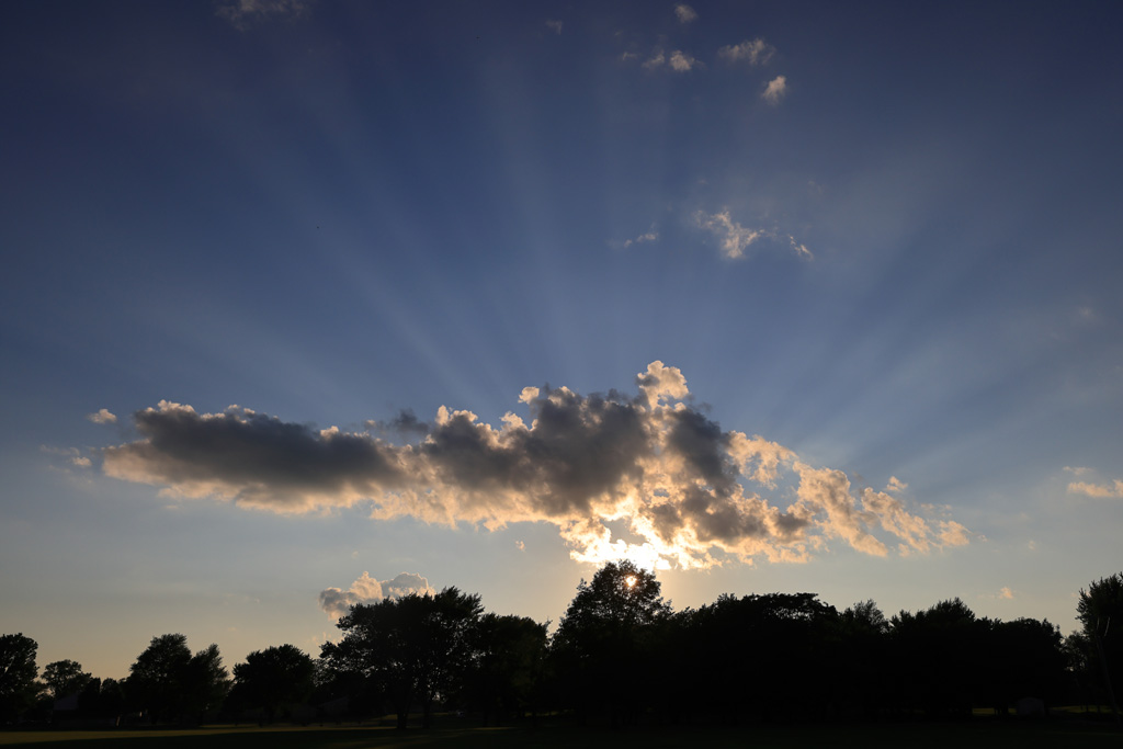
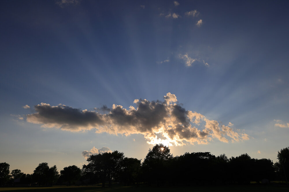
7-6 was a crepuscular rays night. Broad and middle of the road quality but still very evident. Taken with the 24-70mm at 31mm...
-
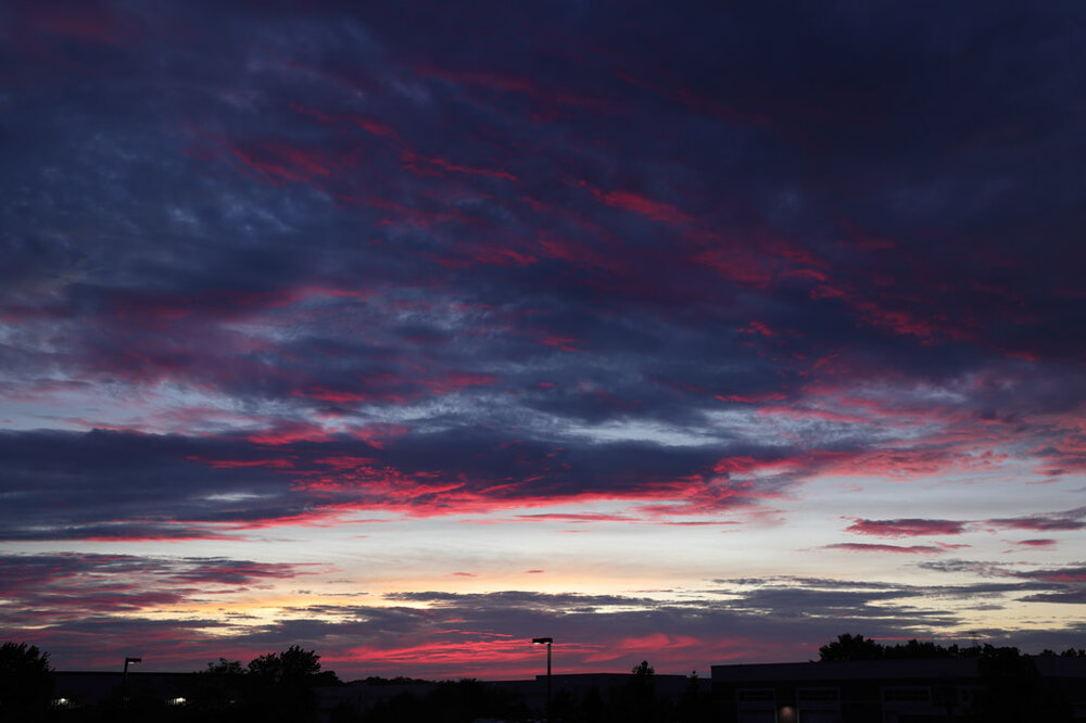
7-3 had a nice red flash. It was broad and spotty but still that vivid red color for an extremely short amount of time. Taken with the 24-70mm at 39mm...
-
0.53" with the noon downpour today. Could use a little bit more. Had a few sprinkles around sunset that did not budge the tippy bucket though. Maybe tomorrow?
-
Summer 2024 Medium/Long Range Discussion
bowtie` replied to Chicago Storm's topic in Lakes/Ohio Valley
Cool image. Blue cones, blue signs, blue ride and a blue waterspout. -
I had hoped to get at least 0.75" with today's rain just to help the health of the grass but 0.17" was all that I got. Maybe next weekend.
-
I am keeping an eye on the AQI here but so far it has been staying in check this far south.
-
Last week in July and the county fair is ongoing. And in the afternoon the cicadas are louder than the birds. All is right in the world.
-
Interesting in that the ripples (gravity waves?) in Iowaare kind of west to east. The ripples in Indiana the ripples are sort of south to north. Where they meet the sky goes clear.
-
2024 Short/Medium Range Severe Weather Discussion
bowtie` replied to Chicago Storm's topic in Lakes/Ohio Valley
lol on sticking the wife on the balcony for the spot report. -
2024 Short/Medium Range Severe Weather Discussion
bowtie` replied to Chicago Storm's topic in Lakes/Ohio Valley
^That was cool looking. -
That looks very impressive on the radar and satellite. Hope it holds together enough to give me some measurable precipitation.
-
0.61" here around noon. Perfect timing I was going to have to water the flowers if they did not receive any moisture today.
-
Always nice when a rain drops the temps to simply bearable. Summer for the win.
-
When I started mowing it was 79/72/no HI. I just finished and it is 88/73/96. A tad warm but I beat the rain/sprinkles/clouds rolling through. Now to go get some lunch and a nap in the A/C is called for.
-
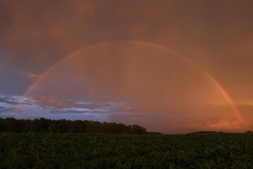
^ I would have been screaming pull over and let me get a good shot of the rainbow. lol . Then promptly shipped myself to Antartica.
-
0.37" in the tippy bucket from the late afternoon/early evening gulley-washer rain. One county east of me the radar estimates say they might have got over 3 inches of rain. That would ha been too much.
-
And less than 100 miles south of you, I only had 1.39" in my tippy bucket.
-
TIme sensitive but cool looking. The radar out of Linciln IL is showing three outflow boundaries. Two parallel and one perpendicular.