WeatherMonger
-
Posts
715 -
Joined
About WeatherMonger

Recent Profile Visitors
2,936 profile views


-
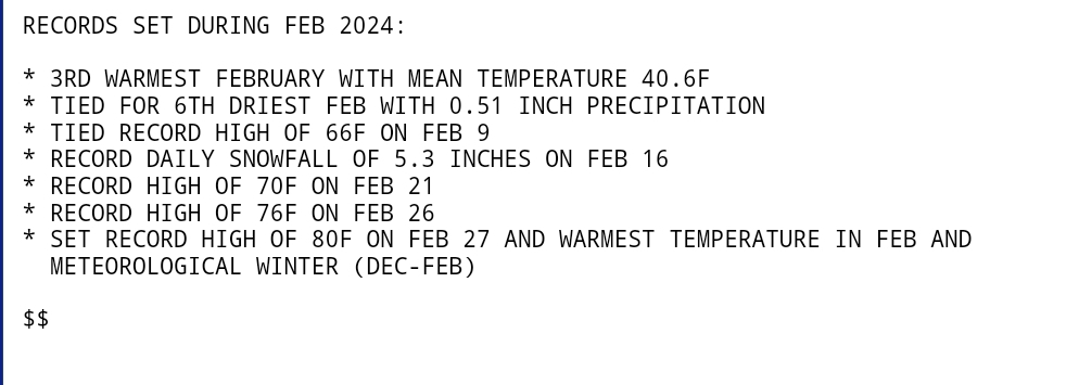
Springfield,IL had it's 3rd warmest February on record. The 80 degrees reached Tuesday the 27th was both the warmest February high temp aend the warmest meteorlogical winter day on record. The .51" precip for the month tied for the 6th driest February.
-
Make that 61 degrees, dropped to 19 at the 7am update
-
59 degree temp drop in 14 hours. High of 80 yesterday and currently sitting at 21.
-
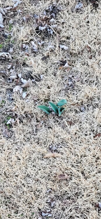
Feb 27th and tulips are emerging
-
Looks like soft ice for fountain drinks that has been hand compressed. Curl the fingers back and the curvature at the top of the "stone" matches the padding at the base of the thumb. Very similar to packing a snowball, then opening your hand before smoothing it out. Should have shattered when it hit the ground, very soft looking "ice".....
-
16 degree temp drop last hour. Forecast is for a 58 degree drop from todays high by morning.
-
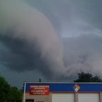
Atkinson warned storm now has confirmed tornado
-
80/47 all time record high for February set. DP continues to plummet
-
Currently 78/54. Have tied the all time February high set back in 1930. Dewpoint has dropped 6 degrees the past few hours
-
Set for a 59 degree temp change if the forecast plays out. 80 degree high today with an overnight low of 21 tonight.
-
-
Have already surpassed the original forecast high of 75. Currently 76 and new forecast high of 78, crazy being Feb 26th.
-
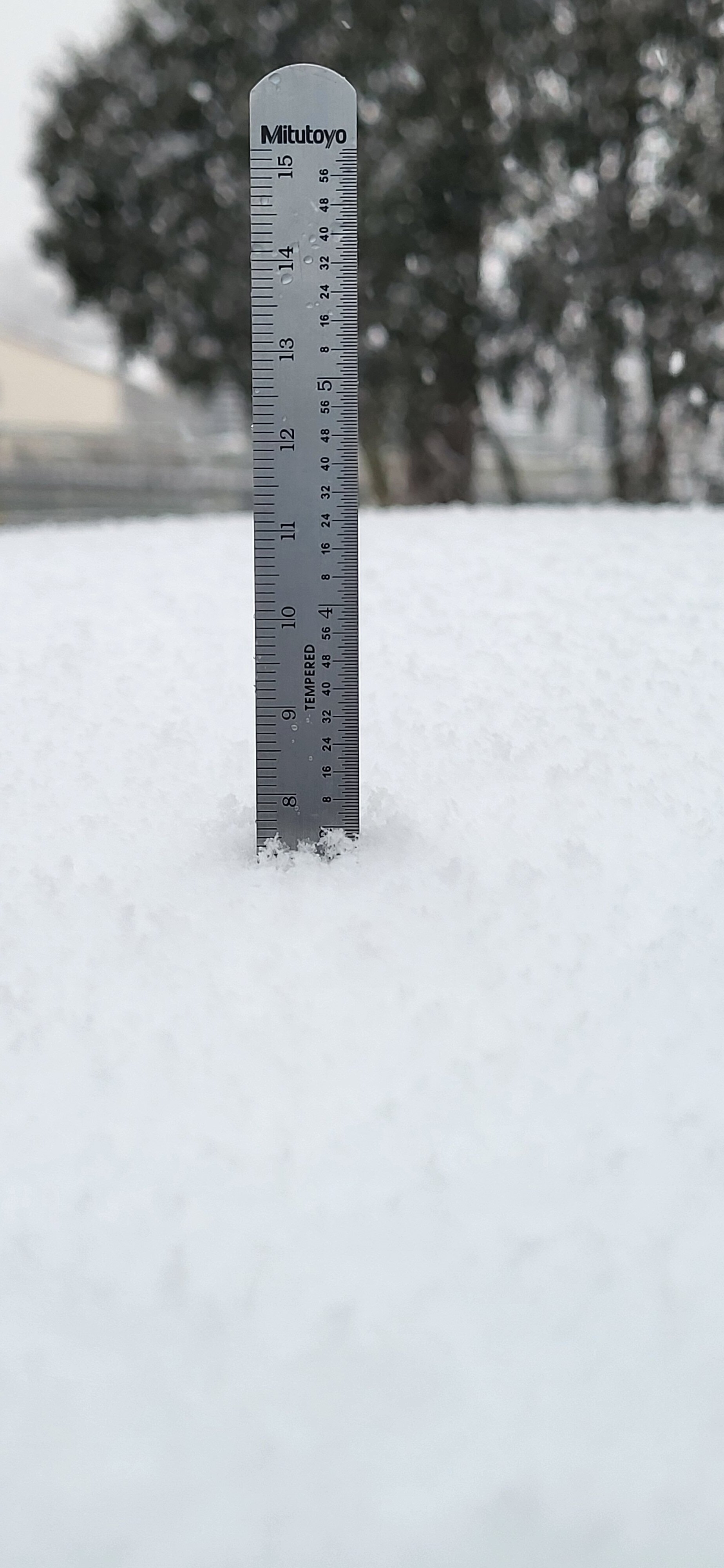
That's 70mm on that side. Inch on the other, 6"scale
-
Got right at 3" on the roof of my truck. No wind

-
Started snowing here about 6:30am, been a steady accumulating rate since. AFD ssid it would start around 9am and clear the CWA by 6pm. Not sure if the early start meams an early end or not, if not would likely over achieve the 3-5 call. Have to be approaching 2 1/2 - 3" now if I had to guess. See if I can get a measurement in a bit.