

PDIII
-
Posts
1,403 -
Joined
-
Last visited
Content Type
Profiles
Blogs
Forums
American Weather
Media Demo
Store
Gallery
Posts posted by PDIII
-
-
3 minutes ago, BristowWx said:
What does he have against Tuesday? Not a CAD fan? CAD makes some people angry.
Richmond may not be in that game?
-
6 minutes ago, Eskimo Joe said:
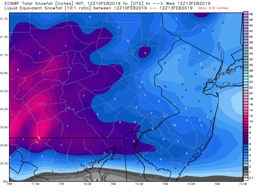
IMO, they're going to see some of those amounts along Mason-Dixon...they're wedged in pretty good. Wesminter and York have northeast winds and Td in the upper 20s still.
Looks like the Euro from yesterday is gonna be dead on.
-
2 minutes ago, MD Snow said:
12z Icon and 12z gfs say why wait until next week when you can be tracking something for this weekend...
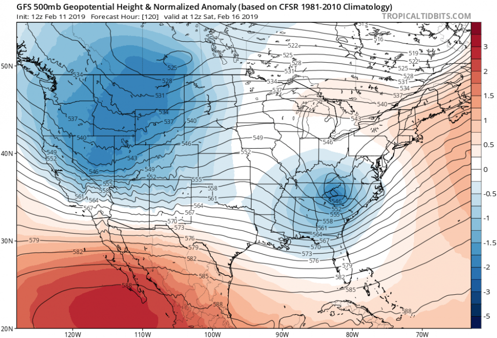
Yes another great 500MB pass with horrible temps
-
I wonder if that first band in Frederick is virga...
-
1 hour ago, ravensrule said:
Thanks Ravens.. 3-6 for catonsville/ Woodlawn. I will take it
-
 1
1
-
-
I remember a day back in the 90s where we had a similar set up to this. It was supposed to be a brief period of snow and then a wash out. My dad and I decided to take the dog for a walk in middle River when it began to snow. By the time we got done there was 3 inches on the ground. It never changed over. I think we got like 5 inches and some sleet.
Maybe we get lucky. It happens. I am in Baltimore so I can dream...
-
1
-
-
3 hours ago, usedtobe said:
I think I did prior to our one snowstorm. I'm not excited by this messed up system. Where I live, looks like a mostly rain event maybe starting as sleet Sunday night.
Yeah.. I mean it's a sub 1000 low riding up in to Chicago. It makes me wonder why there is even a thread. Some of models were pretty bullish on CAD a couple of days ago so I guess everyone is hang on that. I am hoping we get an inch or two out of the first wave. I am up in Baltimore county. Just high enough where I get snow when the city gets rain.
-
I see @usedtobe lurking. Havent seen him post hardly anything this year
-
All the models are showing the precip max in eastern pa. I am sad about that. Why can't the blue be over me?
-
The wildcard is whether or not SLP develops along the front. If that happens and the change over occurs early enough we should see some upside with this.
-
4 hours ago, Bob Chill said:
Euro still gets us all with 2-5". Still very close to something bigger. Slp forms off the coast and keeps the heavy precip offshore. Parts of interior NE get nuked pretty good. As is it's still a good event and I didn't see any red flags.
Snow with a this type of set up can be a lot of fun. We could see a burst where we get 3 inches in an hour or two. There will be a huge temp gradient... Should be like a strong raing shower.. but snow
-
1 hour ago, Ji said:
Icon...gfs is disaster. Its euro vs world
The GFS is showing more snow for the frontal passage than it has ever showed before. It is really only 1-4 but it looks better than the previous runs. Cmc is a big step back.
-
Man nws is really going big. They are counting on something.. maybe snow cover.. evap cooling.. a quick front end thump.. maybe ice..
And they issue the warnings after the last night's guidance... They are all in..
-
Now just flurries.. but I am glad I get to see some flakes!
-
1
-
-
I am in nyc right now for work. Long night last nigh. Woke up to moderate snow.. as soon as I saw it I just knew that we were gonna over perform!!
-
1
-
-
1 minute ago, CoastalWx said:
Jesus that’s 12-18. Holy cow. The north trend is real just not sure if 18”. Lol.
LWX talked about the potential for this this morning: "
slightly negative EPV
and Frontogenetical forcing that lines up, suggesting that CSI
banding is possible"
-
1
-
-
btw.. jeffy should win an emmy
-
My message to the NAM:
-
1
-
-
5 minutes ago, jayyy said:
And I think it may be better than progged by models. Per usual, models didn’t properly pick up precip intensity, lift, or dendrite growth/ratios.
dont see anything that would hinder that happening here. And I don’t remember models having snow that far north either.
Haha.. yeah! I love it!!!
-
2 minutes ago, losetoa6 said:
Missed all the 18z and 0z runs . Trying to catch up. Gettin cold
Down to 20/16
I think the gfs took a small step back on from 18 to 0.. but it does not matter at this lead. It's locked up.. lets bring it up. 8 inch lollis
-
31 minutes ago, snowdude said:
A little warmer this run with some rain pushing north.
It seems like all the guidance took a step backwards at 0z... maybe I am just being pessimistic.. but that's what is looks like to me.
-
1
-
-
Eta I catonsville md it is cold as fock... And the dewpoint is low as fock.
-
-
18 minutes ago, Jebman said:
With those nice cold temps, you have solid surface frigidization.
That means that the snow will stick, from flake 1. And it will pile up.
I feel like jb2 should add surface frigidization to his venacular


February 19-21, 2019 storm threat
in Mid Atlantic
Posted
yeah it has the most accumulating snow since yesterday's 18Z. Just glad we didnt lose it. Would be fun to get 4 inches in a couple of hours. I like watching heavy snow.