

PDIII
-
Posts
1,403 -
Joined
-
Last visited
Content Type
Profiles
Blogs
Forums
American Weather
Media Demo
Store
Gallery
Posts posted by PDIII
-
-
14 hours ago, osfan24 said:
Judah cancelling winter might mean winter is about to start LOL.
Remember tha psu definitively canceled winter earlier this year.. in one of our greatest posts in AmericanWX history.. he all but said.. "no snow for you".. I figured that was my cue to start paying attention
-
6 hours ago, Maestrobjwa said:
I'd argue that peak snow climo, which I give more credence to, is mid-January through President's Day

Yeah definitely.. not sure about how reliable this is.. but check out this link:
It says that average snowfall is greater in February than January..and we know that it gets spotty towards the end of February. So I think it is safe to that we are heading in to our peak climo in the next couple of weeks
-
 2
2
-
-
26 minutes ago, showmethesnow said:
I can live with this look in the extended on the EPS. Very workable pattern and is a tremendous upgrade to what we expecting to see just a week ago. The GEFS though is still somewhat rough as it continues to be heavy handed with the troughing into the SW and off the coast. But even that is workable towards the end of the extended though it would probably more so favor 40 north at this time.
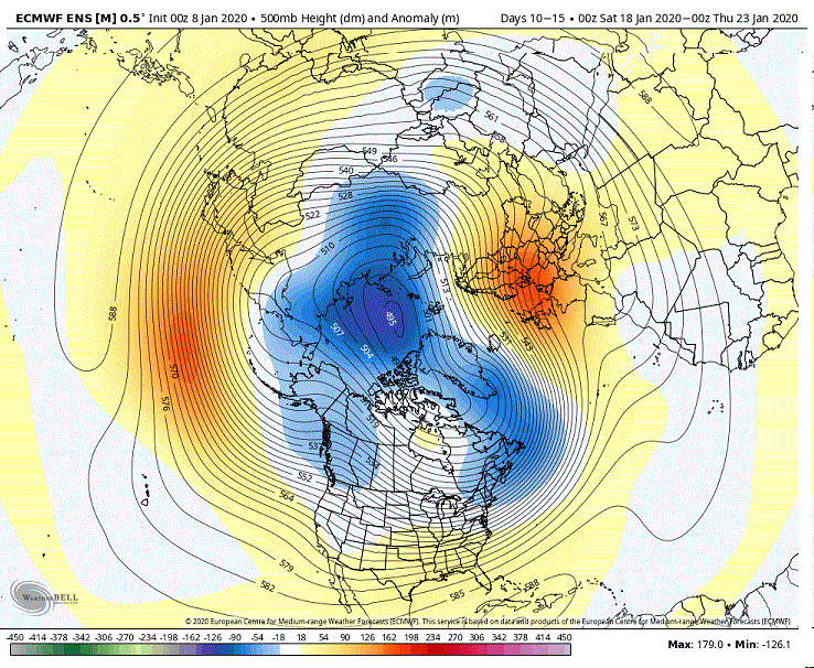
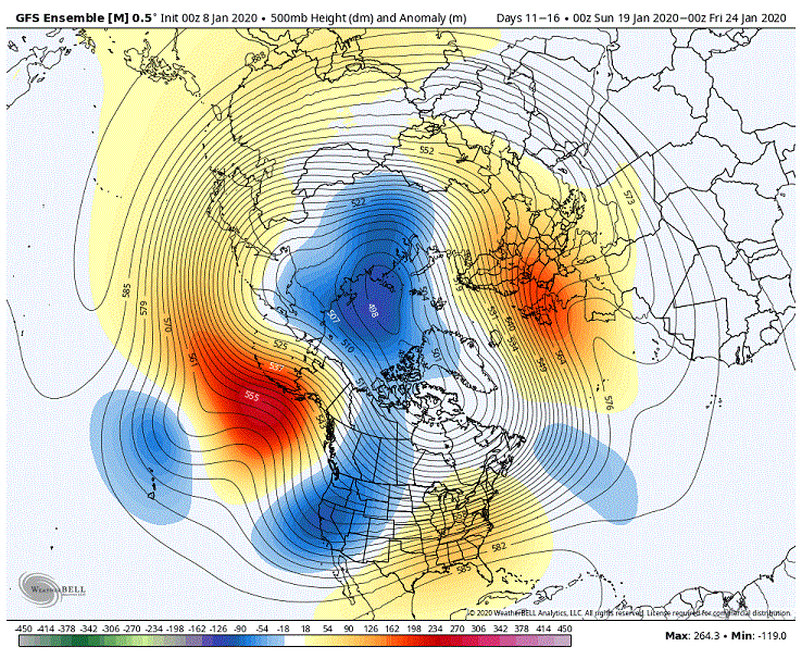
Both operational models show the the negative PNA index lightening up on its grip. Thats just in time for our prime time climo. Glad to see it.
-
I realized this morning that the pattern lines up well with the Raven's road to the Superbowl. It looks to me that it will hold for the AFC championship game (knock on wood) and Baltimore might enjoy Indian summer conditions for the divisional round!. Lamar's has had troubles in the past with adverse weather conditions.. so for me this is the silver lining.
-
11 hours ago, Weather Will said:
Comparing the 18Z to 12z GEFS clown snow map mean at 6 days it was a marginal improvement.

This basically says that it is not going to snow.. whatever it is showing in Garrett county is just whatever they get after a frontal passage.. we dont get that.. and the 2-3 inch stuff in Frederick County is noise. This map is depressing..
-
8 hours ago, psuhoffman said:
Now that I am home with the data in front of me...I will answer this...but its gonna hurt.
It is hard to argue the logic and analysis here.. but that ridge out in the pacific will break down and the pattern will flip.. and given this all nonsense started a in mid December we will probably enter in to a period with better odds for snow somewhere in February/ March... and thats usually what we see anyways..
I am not worried. I will enjoy jogging outside the next couple of weeks.
-
Can't even manage some severe with a frontal passage. Red Flag warnings surely will be hoisted.
-
ANZ920-040830-
Baltimore Canyon to 69W east of 1000 fm and south of 38.5N to
250 nm offshore-
353 PM EST Wed Jan 3 2018
HURRICANE FORCE WIND WARNING
TONIGHT
E to SE winds 5 to 15 kt, increasing to 45 to 60 kt. Seas
2 to 4 ft, building to 11 to 18 ft. Rain with VSBY 1 nm or less.THU
Winds increasing to N to NW 55 to 65 kt, then becoming W to
NW 55 to 70 kt. Seas building to 22 to 37 ft. Rain with VSBY 1 nm or
less. -
I am in an advisory.. lol.. I was in a meeting at work and missed the last update. I guess the nws is saying that this could be the biggest event of the year.

January 2020 Mid/Long Term Discussion
in Mid Atlantic
Posted
nahhhh... ice storms are easy peasy... just look at the GFS.. it shows it in pink and it goes out like 400 hours.