oconeexman
-
Posts
2,048 -
Joined
-
Last visited
Content Type
Profiles
Blogs
Forums
American Weather
Media Demo
Store
Gallery
Everything posted by oconeexman
-
With the CAD being the source of cold air typically I85 is the cut off give or take 10 miles. It depends on the strength and placement of the High. Hopefully it trends a little further south which helps me being NW of 85
-
Yea I'm not gonna worry yet..if the higher res models start showing it after tomorrow I will start worrying. Right now I'm in the "cad not being modeled correctly" camp
-
Wow jackpot over NEGa's house for areas not in NC! My snow hole shrunk considerably to a county wide 6-12". Lots of wild runs for a couple more days then some fine tuning.
-
Hell I go back to Charlotte tomorrow for work then back home saturday..may have to stay the weekend in Charlotte to see snow. I expect some different solutions once this wave gets sampled. Crazy what a great track it consistently is showing though.
-
Eww it snow holed me dammit..picking up on a warm nose apparently
-
I'm still holding on to hope here in Oconee. Eps hasnt waivered much from an I85 special. Preciate your analysis and pbpk Grit!
-
All in all a good run esp for Frosty! Let's keep those ensembles rolling in our favor for a couple more days and this board will light up
-
Absolute perfect track for southern snowstorm! But borderline temps again on this run. Temps dont get above 40 here in upstate before it moves in.
-
Gfs a tad faster and a stronger coming onshore..fyi
-
1035 in good placement but no wedge??? Only nc mins get a little snow
-
Looks mega warm though...ugh
-
Where at? I'm between walhalla and seneca. Man I wish everyone would stop taking these operational runs to heart. We are 4.5 days away..the ensembles are in good agreement. Starting honing in on specifics Thursday night/Friday morning. The few Cad events so far this Fall have been rather stout and stingy to give in. None were over 1040 if I recall correctly. I like Oconee/Pickens/Gville areas getting a nice little event here.
-
Southeast Sanitarium - A Place to Vent
oconeexman replied to Jonathan's topic in Southeastern States
Oh C A D oh C A D how i love thee! Sure have missed these cad events of old! Merry Christmas SE crew..esp the mods who will have there work cut out for them over the next 10 days. -
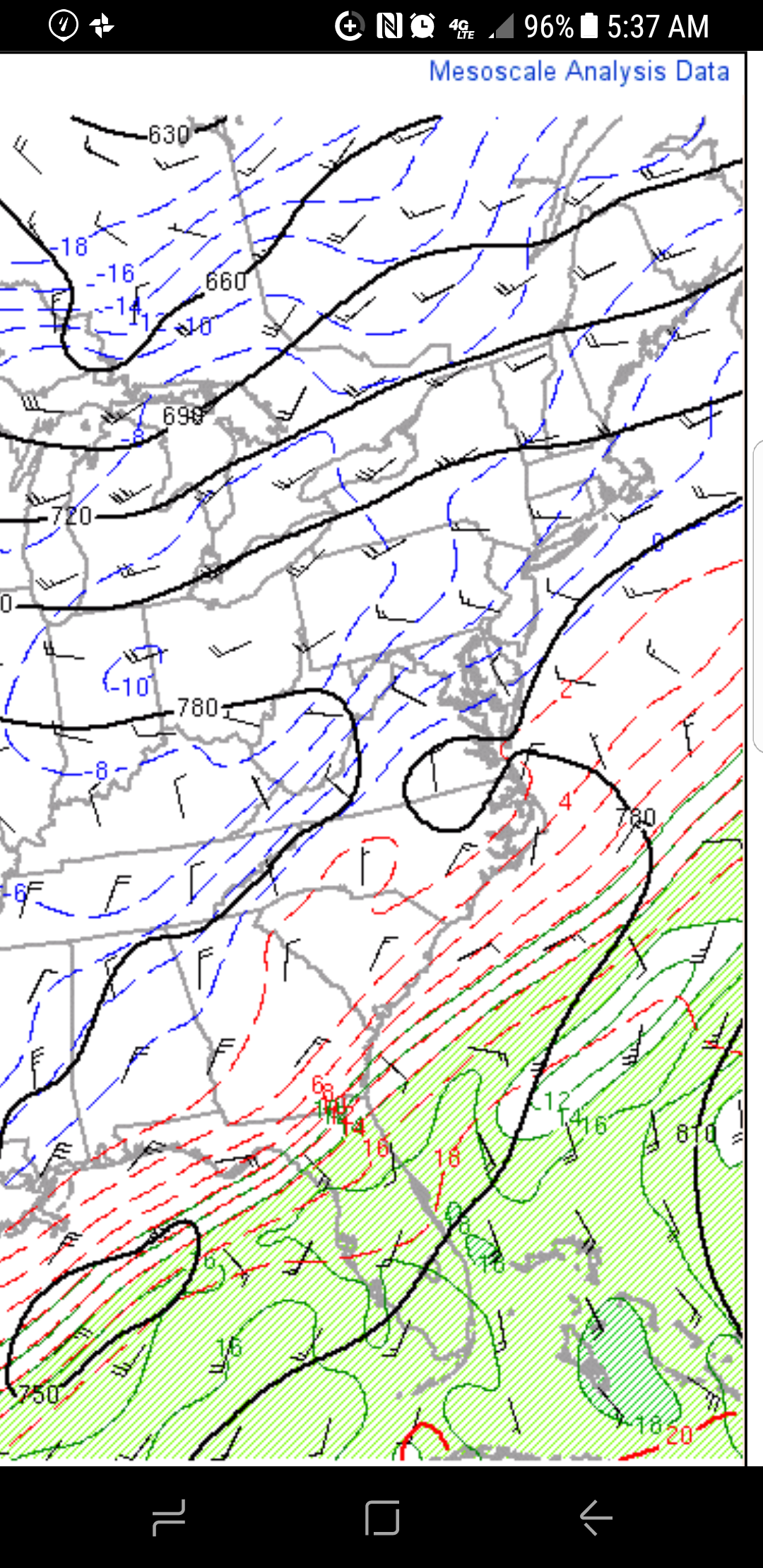
That warm meso at 925 is pretty "pronounced" in parts of the upstate up toward charlotte( as Mark has eluded to). But has retrograded pretty significantly in nw sc in the last hour.
-
Gsp put me in an advisory now..trying to not buy into it to get let down again. Esp after seeing so much evidence of warm nose.
-
Awesome buddy!
-
Grit being that the gfs is so far off from the others do you even include it in a blend right now? Of course unless the euro goes that way.
-
Good grief...OH CANADA! man take a blend from all of em? Or do you throw out the extremes and blend the rest.
-
Gfs sticking to its guns..seems to steadily squash the energy. So far its by itself with the lack of moisture
-
Doesnt have initial strung out precip thursday like the nam but main energy hanginv back. Should be colder but may be drier than the nam
-
Gfs looking more like Nam to me.
-
Prob a safe call right now. Lets see after tomorrows runs
-
Any flakes at all thos early woyld be great and a win..no matter if it coats the card or just mixes in followed by some real cold. At leadt we got something to track this early.
-
Southeast Sanitarium - A Place to Vent
oconeexman replied to Jonathan's topic in Southeastern States
Well i admit 0Z Gfs had me concerned and still does. Shows one possible scenario. But after euro and cmc i wasnt as worried and now the 6Z Gfs goes ham again. This will be an interesting week for sure of model hugging. Really appreciate the pbp last night by Grit and others! Lets get some good 12Z runs in today. -
Southeast Sanitarium - A Place to Vent
oconeexman replied to Jonathan's topic in Southeastern States
I hope by 12z Tuesday we will have some consensus one way or the other. The Nam will be thrown in there by then. Not a star wars fan so i cant speak for Rogue one but 2 of the best ive seen lately are Sully and Magnificent 7