forkyfork
-
Posts
30,710 -
Joined
-
Last visited
Content Type
Profiles
Blogs
Forums
American Weather
Media Demo
Store
Gallery
Everything posted by forkyfork
-
climate change has expanded the west pacific warm pool so much that enso matters less than it used to
-
shrinking hemispheric cold air pool due to climate change is hurting us
-
this is so bad for our ecosystems
-
even in january the models are too far north with convective rain
-
The Curse of Pamela is upon you!
-
the loss of a leisure activity for rich people is the least important effect of climate change
-
all the cold got exhausted to north america and there's just less cold to go around these days
-
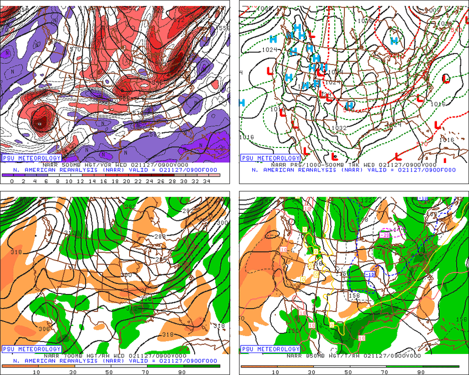
much less blue overall. probably related to the shrinking polar vortex
-

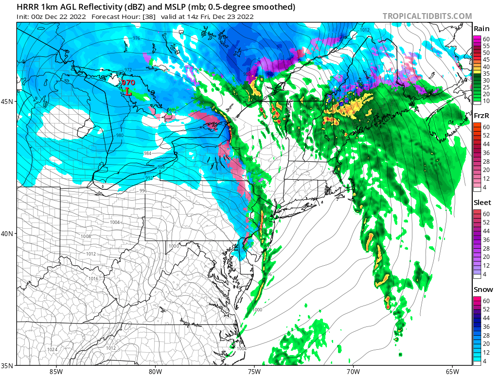
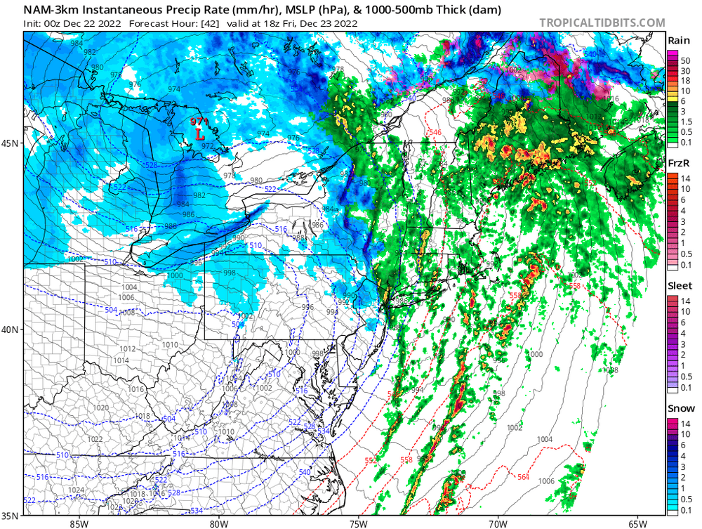
December 22nd - 23rd Cutter Discussion and Observations
forkyfork replied to NJwx85's topic in New York City Metro
same in rahway -
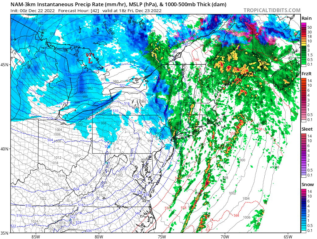
December 22nd - 23rd Cutter Discussion and Observations
forkyfork replied to NJwx85's topic in New York City Metro
the warmer than normal ssts probably helped winds mix down at the coast -
not saying ku, just the potential for a few inches if it keeps trending
-
we have seen so many hits at day 5 turn into cutters. we want something way offshore at this time range these days
-
we got white rain and inland got some accumulations
-
8 year olds pushing the car
-
i'm not convinced the post christmas wave is dead yet
-
the meso models show a line of convection with heavy rain along the front. that is the worst possible scenario for flash freezing
-
i think the se wind threat ahead of the front is overblown. soundings show an inversion

-
and i'm not answering them
-
this isn't a debate. enjoy being wrong <3
-
it's warmer because of carbon dioxide emissions
-
smaller hemispheric cold pool = less of a PV to get trapped under blocking