

Cyclone-68
-
Posts
2,539 -
Joined
-
Last visited
Content Type
Profiles
Blogs
Forums
American Weather
Media Demo
Store
Gallery
Posts posted by Cyclone-68
-
-
“The July 1st Outbreak” has a good tone to it
-
“Hurricane hottest” would also work
-
 1
1
-
-
2 hours ago, weatherwiz said:
I'll probably be doing that if/when the Bruins screw up the draft Friday night and start of free agency next week
Hopefully Sweeney and Neely won’t be around for the next one
-
 1
1
-
-
It’s too bad extreme heat doesn’t come with thunder or something..It would make things a bit more interesting at least for me
-
Man…Why does NYC seem to cash in on this stuff every year? They must get 3x as many storms as the cities to the north do.
-
This is the part that got me salivating:
Some model solutions however are showing some re-
development along residual boundaries/outflow from the MCS from
earlier in the day; not sure how realistic that may end up being and
though I think dry weather wins out, any storm that can break the
cap would have an environment more typical of central Plains
instability rarely seen in New England: as much as 4500 J/kg of
CAPE, steep lapse rates of 8 C/km albeit with weak shear.
-
2
-
-
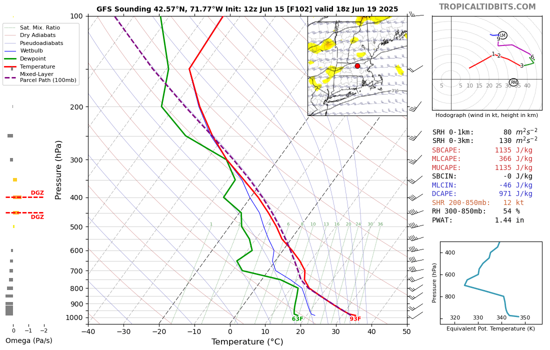
Just noticed 102 outlooked in point and click. Never saw an actual forecast for my area that high
-
1
-
-
28 minutes ago, CoastalWx said:
Expect it to be wasted.
Oh I know..
Keep expectations low and hope for a surprise..A metaphor for life in general I suppose
-
Granted it’s only the point and click but I don’t think I’ve ever seen “100” in a local forecast especially three days out. With regards to the tstorm potential this weekend I like that there could be an EML in place:
but will
also lead to the eastward advection of extremely steep lapse rates
in the 700 to 500 mb layer from the northern Plains and Rockies,
which meteorologists refer to as an "elevated mixed layer".
-
1
-
-
ABBA MCS
So when you're near me,
Darlin can't you hear me?
MCS
The love you gave me,
Nothing else could save me,
MCS
When your gone,
How can I even try to go on,
When your gone, though I try,
How can I carry on?-
1
-
-
Btw I meant to ask but what is going on the last few days with the outlook area between SE PA and DE and NJ? They’ve been in a tiny marginal area the last few days. (And seems to have been producing too!) Some kind of orographic or local phenomena going on?
-
I haven’t had a real “wake up the neighborhood” night storm in ages
-
 1
1
-
-
3 minutes ago, CoastalWx said:
We had a lot of damage here, particular the Idlewell neighborhood down the hill from me.
There was an event in 2010 I believe where I had nickels and I think @amarshall had ping pong balls at Wollaston in Quincy. Was at like 2am.
Well I understand Tip doesn’t care for the verbiage but we are overdue for something. Hopefully this summer
-
1
-
-
34 minutes ago, WinterLand said:
The last derecho that I experienced was October 7, 2020. I lost three trees in my backyard on that day. An amazing event, considering it happened so late in the season, which is extremely rare.
You just reminded me of that. I guess it was in fact a derecho. For me it was a wild 4 minutes and that was it. I hope to do better than that soon!
-
23 minutes ago, Typhoon Tip said:
I still would watch for a mid weekend MCS it seems there’s a noncommittal warm frontogenesis on the leading edge of the arriving torch synoptics. An eruption along then turning SE out of lower Ontario is climo favored and the operational models already can’t seem to resist
- could be a severe risk for derecho followed by a heat burst pattern. Somewhat rare sequence for our region.
It’s been sooo long since we’ve had one down here
-
1
-
-
Maybe they can hold together at least as regular storms to the coast? The NWS said that was a possibility
(Thursday that is)
-
Very photogenic storm
-
1
-
-
Ha! The Sox traded Devers away to the Giants
-
1
-
-
2 hours ago, Torch Tiger said:
 A cold front approaches New England Thursday
afternoon/evening, this could trigger a severe weather risk.
While we are looking five days out there is already an area
highlighted to our southwest by SPC for the potential of severe
storms. Quick look, there is instability to tap into, guidance
has MUCAPE values above 2,000 J/kg, steep lapse rates including
mid-level lapse rates of 7C/km, modest effective shear of ~35
knots. The machine-learning at CSU highlights much of the region
with a 15% to 30% chance of severe weather, which is impressive
this far out and will be something that needs to be watched.

-
1
-
 1
1
-
-
11 minutes ago, Damage In Tolland said:
Did you happen to read the one comment below the post? lol Made me crack up.
-
1
-
-
13 minutes ago, Torch Tiger said:
I know the privy folk won't like this, but I would not wish away a FM strong cat 3- borderline 4 (130-140? mph weakening to 120) rocketing forward N or even NNW <3 into SNE.

-
6
-
-
5 minutes ago, Torch Tiger said:
Not "uneventful" but maybe to your wishes. I don't disagree btw! Some of these weirdos want that year round, "neversun". I think there's a song from like Norway that says that lol
That’s a fair rebuttal ☺️
-
I hope nobody takes this the wrong way but if climate change has resulted in uneventful weather around here that may be the biggest tragedy here so far
-
1
-
 1
1
-
-
Let’s get tropical season going so we have something interesting to track
June 2025 Obs/Disco
in New England
Posted
I’d be content with sub severe. Just get me a damn storm lol