

Allsnow
-
Posts
26,403 -
Joined
-
Last visited
Content Type
Profiles
Blogs
Forums
American Weather
Media Demo
Store
Gallery
Posts posted by Allsnow
-
-
-
18z euro is mainly sleet and frz rain for the metro
-
10 minutes ago, Tatamy said:
As of 6 PM you have to be north of I80 if you want to find snow in PA. The only exception is Fort Indiantown Gap which is reporting flurries. Everyone else is reporting ice / sleet/ wintry mix or rain. All Pittsburgh reporting sites are reporting thunderstorms.
I was more referring to how the radar looked not the placement of the rain/snow line
-
 1
1
-
-
4 minutes ago, 40/70 Benchmark said:
Maybe for NYC, but it looks fine for this area....give me the -PNA, especially after January.
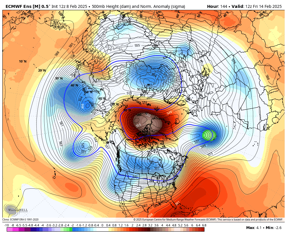
Your biggest issue is if the -pna is too deep out west. You need something to redevelop similar to tonight. But if that block is further north it will hold on to the primary longer
-
I think this looks pretty identical to the radar currently in Pa. Everything looks aimed towards the metro but what ptype is up to debate. I do like how strong and solid the returns looks currently

-
4
-
 1
1
-
-
4 hours ago, brooklynwx99 said:
personally I find it very hard to believe there isn't going to be a large storm when a four sigma west-based -NAO breaks down

The block is to far north and the pv is not south of Hudson Bay. You need that with a -pna and se ridge
-
 1
1
-
-
5 minutes ago, winterwx21 said:
This morning you said the pattern favors a north trend. Hopefully this RGEM run is a good sign.
The trend today has been weaker with Tuesdays energy and putting all the energy into Thursday. It’s over for Tuesday outside central Va
-
6 minutes ago, MJO812 said:
I wouldn't be shocked if the models shift after tonight's storm leaves.
When did this turn into a Midwest snow pattern? Haha
-
 1
1
-
-
53 minutes ago, Stormlover74 said:
LR rgem looks nice for Tuesday night
It will be wrong
-
1
-
-
AI bumps south for Tuesday night… no a good sign
-
-
Stronger primary
going to be bust for many locations
-
1
-
-
Nam even further north
Snow is confined to SNE
-
1
-
-
15 minutes ago, Stormlover74 said:
Buckled up for nothing once again
Such good ens supports for days just for it to collapse
-
1
-
-
15 minutes ago, anthonymm said:
At least we know if we start as sleet it's over. No mysteries about the totals.
Nam wins again
I bet when its north at Monday 12z it won’t score a win haha
-
2
-
-
1 hour ago, MJO812 said:
Cutters next week for now
We rain
oh well. I’m about done
-
1
-
 1
1
-
-
41 minutes ago, MJO812 said:
Congrats Long Island

@jm1220 wins again
-
1 minute ago, MJO812 said:
Nam is more north. Barely any snow for NYC . What a disaster. Hope it's wrong.
Ha. Let’s miss south on Tuesday and call it a winter
-
1
-
-
Just now, ILoveWinter said:
I think it’s a bit bullish for the immediate metro but we shall see
Agree. Take that down to 1-3 for nyc
-
2
-
-
3 minutes ago, Yanksfan said:
Agreed. If there’s one model I trust the most it would be the EURO AI. It’s been spot on this winter. It has the Wednesday storm gradually trending north. I don’t have access to snow maps but it looks like it has a few inches in our area with more down in central and southern Jersey.
Agreed. Every model has trended towards it inside 5 days
-
1
-
-
I wouldn’t give up on Tuesday night into Wednesday. Pattern favors a north trend imo
-
2
-
1
-
-
Euro cut back for the the immediate metro. I don’t like how the nams show very little snow for nyc.
-
Nams warmer. We have seen this story before
-
2
-
-
5 minutes ago, winterwarlock said:
I remember peeps didn't want to hear that about Thursday tossing the nam...now they love the nam
Last storm was more rain then sleet
-
1
-


Discussion for a probable 2 or 3 winter storms/events between Tue Feb 11 - Sat Feb 15. OBS threads for each will be added as needed.
in New York City Metro
Posted
It helped that a stronger piece of energy came out of the sw