rochesterdave
-
Posts
6,707 -
Joined
-
Last visited
Content Type
Profiles
Blogs
Forums
American Weather
Media Demo
Store
Gallery
Posts posted by rochesterdave
-
-
Absolutely puking snow. 2”/hr
-
 3
3
-
-
3/4-1” rates now. No sign of that mother f’ing sleet

-
1
-
 1
1
-
-
Still sleet mix in Roc
-
I love pouring over the models. I also like getting out in it. Can I do both?
-
1
-
-
We are 90% snow just SE of Rochester (8mi). It is kinda jumping back and forth. When rates are high, we have great big fluffy flakes; when it decreases, we get just a bit of sleet mixing. 1” so far!
-
32 minutes ago, CNY-WXFREAK said:
@KBUF

Warm layer at h925 so mixing is understandable but by 7 or before, it all washes out and its a thumping snow for hrs tonight.
KROC

There should be no issues in and around KROC so Dave's Ob was straight garbage, sorry Dave, lol!
My obs was an obs. Nothing more. I haven’t been worried about P type. I’ve been concerned about QPF and a snow growth.
No worries. Things look good for a thump.
-
1
-
-
Rain and sleet in Rochester
-
 1
1
-
-
3 minutes ago, wolfie09 said:
Overall pretty consistent , still lightly snowing with back edge approaching fast..
Heaviest looks overnight between 10pm-5 am..Most of the precip falls in a 10 hr window..
.thumb.png.2b1daea08e0690298e986bea5ec0be1b.png)
Niagara and Orleans took a big hit. Lost .25” qpf. That’s my concern. NW zones are looking anemic. I’ll bet the 18z NAM cuts the **** out of it.
-
Syracuse still looks solid.
-
It’s tight for ROC. If my opinion mattered, I’d aim low- unfortunately.

-
Can we see the totals for the suckers in the west?
-
To add even more confusion to the mix, the new GFS came in strong. Pushed the big totals a bit NW. If I were to go with my gut on this one, I’d slash totals for BUF and ROC. BUF is above 32* at 800 -
 Sleet is gonna be a problem too...
-
I gotta go back and relearn how to read meteograms/ soundings. I figured it out last winter but have since completely lost any notion of how they work. Syrmax and Freak are on that stuff.
Our dowstate friends are getting a taste of your surprise wolfie.
-
Nah Delta, your a necessary balance. I like your steady nature. And you always back it up.
Guys, I thought we were only gonna let Freak out of his cage for the big ones?
Lol. I actually love him the most.
-
Delta, you’re really pessimistic
-
The Canadian models, after being bullish on Rochester all week, have said NOPE right at game time. Ugh. This could be a tough one guys.
I think Wolfie is right about the kicker. Those down state bastards.
-
1
-
-
RGEM would be the nightmare scenario. Is it possible? Yep. Likely? I hope not. It’s a moisture rich system. Even if we bust I think the thruway corridor ends up with 2-4”. SE finger lakes still look the best.
-
It’s looking tight.
-
6z models definitely took a beat SE with totals. NW zone was always gonna be tough.
-
Honestly, that was a great 0z suite of runs. Most of us got a boost in QPF. Ensembles look good too. This storm is looking quite a bit more impressive.
I’m wondering if BUF will upgrade to warnings, especially Gennessee valley and East. Wayne county looks real nice Tim!
-
I knew you’d come through. Thanks
-
 1
1
-
-
High bust potential on NW edge
-
Ha! I was just about to post that, Tim!
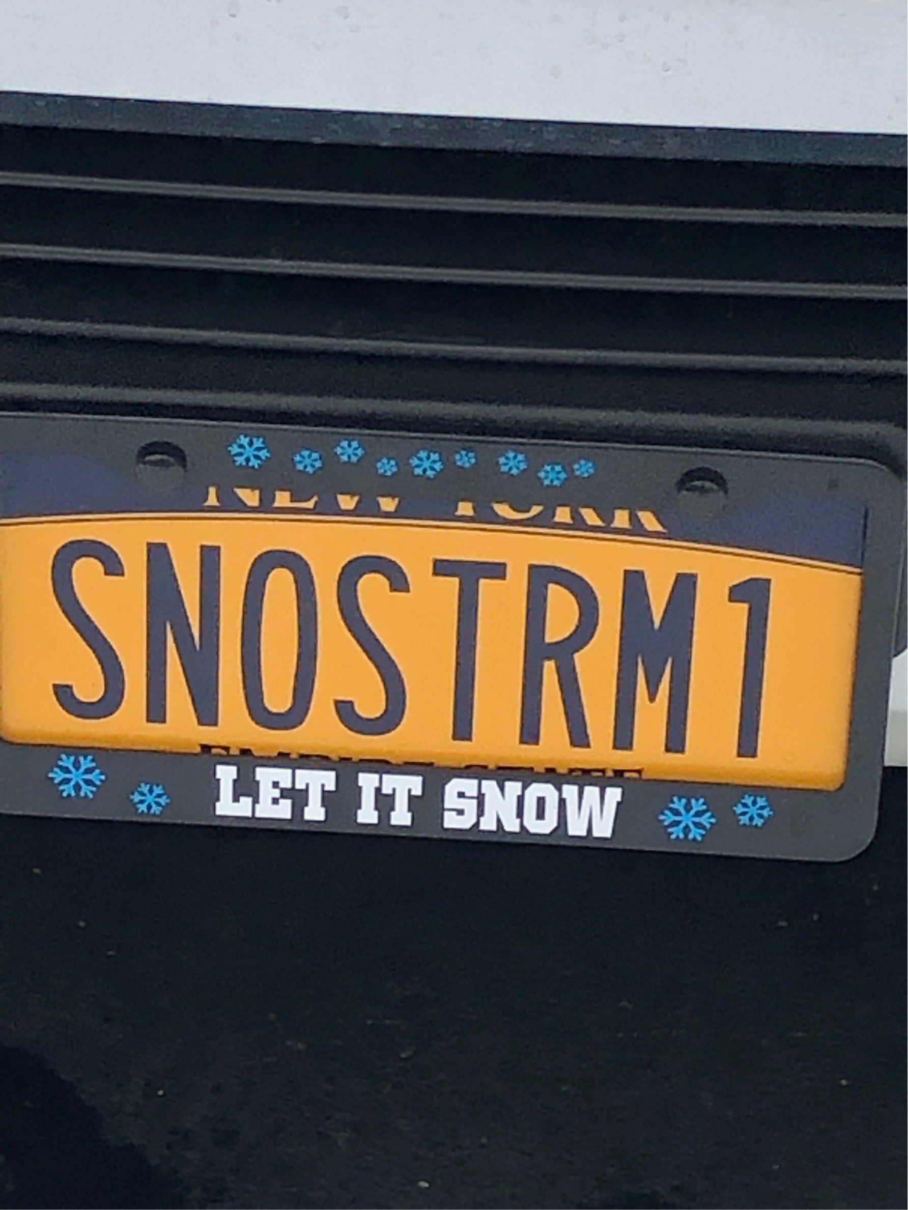
As to your question earlier, no, I don’t come around here unless there’s snow in the forecast. My obsession is strictly with the white stuff.
-
1
-
-
GFS looks good.
.png.2f22d76bc7114e2d43092b45f408ac2c.png)
Upstate/Eastern New York
in Upstate New York/Pennsylvania
Posted
Those bands get stuck in the pivot. As the storm changes its trajectory from east to north, they will stall somewhere. They are probably starting that process now. I hope.